Curated OER
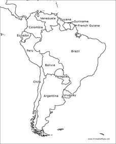
South America Outline Map
In this blank outline map worksheet, students explore the political boundaries of South America and the nations there. This map may be used in a variety of classroom activities. The map is labeled with the country names.
Curated OER
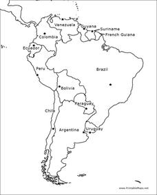
South America Outline Map
In this blank outline map activity, students explore the political boundaries of South America and the nations there. This map may be used in a variety of classroom activities. The location of the capital cities are denoted with...
Curated OER
Australia Map: Labeled
In this blank outline map activity, students explore the political boundaries of Australia and its provinces and territories. This map is labeled and may be used in a variety of classroom activities.
Curated OER
Canada Outline Map
In this blank outline map instructional activity, students study the political boundaries of the North American country of Canada as well as those of the provinces located there.
Curated OER
Mexico Map
In this blank outline map instructional activity, students study the political boundaries of the North American country of Mexico. This map may be used in a variety of classroom activities.
Curated OER
Mexico and Central America Map
In this blank outline map worksheet, students study the political boundaries of Mexico and Central America. Each of the counties is labeled and the capital cities are starred.
Curated OER
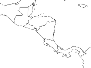
Central America Map wtih Country Borders
In this blank outline map worksheet, students explore the political boundaries of Central America and the nations there. This map may be used in a variety of classroom activities.
Curated OER
Europe Map
For this blank outline map worksheet, students explore the political boundaries of the continent of Europe. This map may be used in a variety of classroom activities.
Curated OER
Australia Map
In this blank outline map instructional activity, learners explore the political boundaries of Australia. This map is labeled and may be used in a variety of classroom activities.
Curated OER
Canada Outline Map
In this blank outline map instructional activity, students study the political boundaries of the North American country of Canada as well as those of the provinces located there.
Curated OER
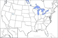
United States Map
In this United States outline map activity, students make note of the political divisions of 50 states of the nation. This map may be used in a variety of classroom activities.
Curated OER
United States Map: Capitals
In this United States outline map worksheet, students make note of the political divisions of 50 states of the nation. This map is labeled with the 50 state capitals.
Curated OER
Blank Europe Outline Map 2
In this blank outline map activity, students explore the political boundaries of the continent of Europe and those of the countries located there. This map may be used in a variety of classroom activities.
Curated OER
Australia Map: Labeled
In this Australia outline map worksheet, students make note of the political divisions of the 5 provinces and territories of the nation. This map is labeled.
Curated OER
Africa Outline Map: Labeled
In this Africa outline map worksheet, learners explore the political boundaries of the continent of Africa the countries located there. Each of the nations is labeled on the map.
Curated OER
European Map
In this blank outline map worksheet, students explore the political boundaries of the continent of Europe and those of the countries located there.
Curated OER
Blank Europe Outline Map
In this blank outline map worksheet, students explore the political boundaries of the continent of Europe and those of the countries located there. This map may be used in a variety of classroom activities.
Curated OER
Canada Outline Map
In this Canada political map worksheet, students examine the province boundaries of the nation. The province names are labeled on the map.
Curated OER
Canada Outline Map
In this Canada outline map worksheet, students make note of the political divisions of the provinces and territories of the nation.
Curated OER
Mexico Outline Map 2
For this outline map worksheet, learners discover and investigate the North American country of Mexico. This blank outline map may be used for a variety of classroom activities.
Curated OER
South America Outline Map
In this outline map worksheet, students discover and investigate the physical boundaries of the countries in South America. The names of countries and a star to mark the capital city are included.
Curated OER
Central America Outline Map
In this Central American political map worksheet, students make note of national boundaries and capitals in this region of the world. National capital city locations are noted with stars.
Curated OER
Central America Outline Map
In this Central American political map learning exercise, students make note of national boundaries and capitals in this region of the world. National capital city locations are noted with stars.
Curated OER
Central America Outline Map - Labelled
In this Central American political map worksheet, students make note of national boundaries and capitals in this region of the world. National capital city locations are noted with stars.


