Curated OER
America Will Be
High schoolers work together to research and create different types of maps of the United States to be used as part of a geography trivia game.Groups research North American annual rainfall, climate, mountain ranges major rivers and...
Curated OER
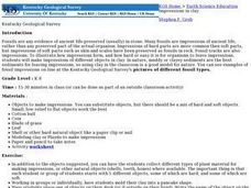
Impressions in Clay
Learners examine how fossils are created. They make impressions of different objects in clay and compare them to examples of fossils.
Curated OER
Design an Island
Young scholars make a map of an imaginary island using the topographic symbols provided from a worksheet. Students place lakes, dwellins, reefs, etc. in areas where they would logically be located from understanding how the topography...
Curated OER
Science: Draining the Land - the Mississippi River
Students use topographic maps to identify parts of rivers. In addition, they discover gradient and predict changes in the channels caused by variations in water flow. Other activities include sketching a river model with a new channel...
Curated OER
Earthquakes
Students observe the melting of ice. In this phase change lesson, students observe ice as it melts. They discuss the process and create a Venn diagram comparing water and ice.
Curated OER
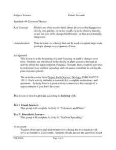
Science
Seventh graders study the theory of plate tectonics. In this activity lesson students complete an activity to determine how seafloor spreading and volcanoes contribute to solving the plate tectonics puzzle.
Other popular searches
- Geologic Time Scale Tests
- Geologic Time Scale Models
- Geologic Time Scale I
- Geologic Time Scale Lab
- Geologic Time Scale Unit
- Geologic Time Scale Biology
- Geologic Time Scale Posters
- Geologic Time Scale Colorado


