Curated OER
Geography of South America
Student's identify geographic features of a South American map. They use the scale of the map to calculate distances between points. They identify examples of the five geographic themes on the map of South America.
Curated OER
The Crash Scene
Fifth graders explore geography by participating in a mapping activity. In this engineering instructional activity, 5th graders identify the differences between latitude and longitude and practice locating precise points on a globe or...
Curated OER
Graphing and Analyzing Biome Data
Students explore biome data. In this world geography and weather data analysis lesson, students record data about weather conditions in North Carolina, Las Vegas, and Brazil. Students convert Fahrenheit degrees to Celsius degrees and use...
Curated OER
Country Capitals
Students define the meaning of country capital. In this country capital lesson, students identify the symbol and find country capitals. Students locate and label capital cities on a map and insert the capital symbol.
Curated OER
Country Capitals
Students locate country capitals on a world map. For this map skills lesson, students review the definition of the word country and discuss what a capital is. Students locate and label capital cities on a world map using a map marker.
Curated OER
Transpiration
Students interactively explore the term transpiration. In this science/ecology lesson plan, students discuss what they would do if they were thirsty while conducting research in Brazil. Additionally, students write descriptive words to...
Curated OER
Comparing Local, National, International Biomes
Middle schoolers calculate averages of climate sets of data. In this ecology lesson, students analyze data to determine identity of a biome and collect meteorological data to understand process. Middle schoolers also compare data sets.
Curated OER
Spaces and Places
Pupils identify three-dimensional forms in various buildings and construct three-dimensional paper forms.
Curated OER
Brazil
In this social studies worksheet, middle schoolers find the words that are used to describe Brazil and the answers are found by clicking the link at the bottom of the page.
Curated OER
Is It Hot, Or Not?
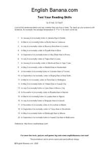
In this reading worksheet, students answer 20 true/false questions about cities around the world. If an answer is false, students write the correct answer.
Curated OER
Is It Hot or Not?
In this research skills worksheet, students read 20 statements regarding the temperature in world cities. Students mark them as true or false and provide evidence for their answers.
Curated OER
Locating Places
In this locating places worksheet, students locate locations by referring to the absolute locations and finding out the coordinates for each location. Students complete 16 problems.
Curated OER
Mapping Brazil
In this Brazil instructional activity, learners label cities, oceans, and surrounding countries around Brazil. Students label and color 10 places.
Curated OER
English Exercises: Countries and Nationalities
For this online interactive English worksheet, students respond to 19 fill in the blank questions that require them to use English vocabulary appropriately. Students may submit their answers to be scored.


