Curated OER
Sequential Directions
Young scholars demonstrate how to give clear directions when drawing a map to a specific location. In this map skills lesson, students create a map to a location, such as their school, and write down clear directions to the destination.
Curated OER
Mapmaker, Mapmaker, Make Me a Map
Second and third graders practice with basic map skills. They create their own map including a legend and a compass rose. This fabulous plan has many excellent websites linked which allow learners to explore maps of all kinds; including...
Curated OER
Using the Four Main Directions in the Classroom
Young scholars utilize a compass to determine where North is in the classroom. In this direction lesson, students label the four main directions. Young scholars locate features in the classroom and describe the directions to get to them....
Curated OER
Latitude Longitude
In this latitude and longitude instructional activity, students plot 39 latitude/longitude locations on a graph, connecting the dots as they go along.
Curated OER
Latitude Longitude
In this latitude and longitude worksheet, students plot 34 latitude/longitude locations onto a graph, connecting the dots as they go along.
Curated OER
Pirate Map
Students write directions explaining how to get from one location to another by using a map of their town and use simple maps to identify and locate places.
Curated OER
All About the Animals
Whose footprints are those? After reading Janet Halfmann's book, Little Skink's Tail, young scholars use footprints to determine where on a gridded map certain animals have been spotted. They use the map to answer 3 questions, one...
Curated OER
South east Asia and the South Pacific: Political: Labeled Map
In this Asia and the South Pacific map worksheet, students examine the boundaries of the nations in this region of the world. Students also note the location of capital cities as they are denoted by stars. This map is labeled.
Education World
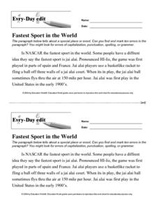
Every-Day Edit: Fastest Sport in the World
In this proof reading instructional activity, students read a paragraph about Jai Alai, Arguably "The Fastest Sport in the World." Students locate and correct 10 errors in the paragraph.
Education World
Every-Day Edits: Ellis Island
For this proof reading instructional activity, learners read a paragraph about Ellis Island. Students locate and correct 10 errors in the paragraph.
Curated OER
Mesopotamia
Students map Mesopotamia. In this Geography lesson, students are introduced to Ancient Mesopotamia. Students use an atlas to label the defining features and areas of Mesopotamia on a map.
Curated OER
Plotting A Hurricane Using latitude and Longitude
High schoolers explore map and plotting skills by tracing the movement s of hurricanes through the Earth's systems. a hurricane map is developed from daily media reports.
Curated OER
The Silk Roads Big Map
Students generate oversized rendition of the Silk Roads from Europe to East Asia, apply elements such as political and topographic features, the Silk Roads, products of the regions, and the routes of key travelers.
Curated OER
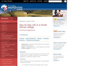
Day to Day Life in a Small African Village
Students analyze what it is like to live in an African village. They locate Tanzania on a map and compare life there to life here in the United States. They write about the health issues in East Africa.
Curated OER
Confucianism: A Cornerstone
Studetns comprehend that confucianism is an important underlying philosophy permeating East Asian cultures. They also explore who Confucius was and what he taught, which helps them gain insight into East Asian cultures. Students...
Curated OER
Our States, My State
Here is a very nice lesson on the shape of the United States, and the shapes of the individual states for your young geographers. They utilize worksheets embedded in the plan to color in a variety of states and to become familiar with...
Curated OER
Follow the Light
Here is another in the interesting series of lessons that use the special State Quarters as a learning tool. During this lesson, pupils learn about lighthouses, maps, the cardinal directions on a compass, and U.S. geography. There are...
Curated OER
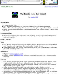
California Here We Come!
A highly relevant and great cross-curricular project! In teams, your class will plot a course from the East Coast to Sacramento, California passing through all of the state capital cities along the way. As part of the journey, teams will...
Curated OER
Reading Contour Maps
Young scholars examine contour maps and bathymetry maps and discover how to interpret a contour map of the East Pacific Rise. Students look at a map as a class and answer questions together before working independently on a map of the...
Curated OER
Does Santa Claus use the Coriolis Force to Travel East?
Students are given a visual demonstration of the Coriolis Force in the Northern Hemisphere. They are encouraged to find locations around the globe and try to predict what the weather circulation patterns might be like.
Curated OER
Does Conflict Shape Nations? The Middle East
Students locate settlements and observe patterns in the size and distribution of cities using maps, graphics, and other information. They explain the processes that have caused cities to grow.
Curated OER
Compass Rose
Second graders practice identifying the four cardinal directions. After locating a compass rose on a map, 2nd graders explain each point that corresponds to a direction. Using a toy ship as a manipulative on a map, students observe its...
Curated OER
Places in My World
Second graders explore where they are located on the globe. For this maps and globes lesson, 2nd graders use a map to show where they live and show the cardinal directions. Students identify characteristics of mountains, flat land,...
Curated OER
East Meets West
Young scholars explore the influences of culture in food choices and customs. They compare and contrast information to create a menu using a Web site and Student Writing Center. Suggestions for creating an on-line graphic organizer as...


