University of Colorado
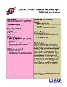
Are All Asteroids' Surfaces the Same Age?
Did you know scientists can tell the age of an asteroid by looking closely at its craters? This final lesson of a six-part series focuses on two asteroids, Gaspra and Ida, in order to demonstrate the concept of dating asteroids. Scholars...
Forest Foundation
Forest Watersheds
Where does the water we use come from? To understand the concept of a watershed, class members study the water cycle and then engage in an activity that simulates a watershed.
Illinois Department of Natural Resources
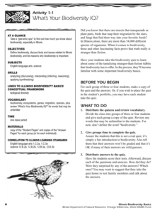
Section One: What is Biodiversity?
Four intriguing and scientific activities invite learners to explore the natural resources of their town. The activities cover concepts such as genetic traits, organizing species in a taxonomy, the differences between different species...
Curated OER
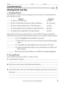
Viewing Earth and Sky
In this earth and sky worksheet, students review terms associated with map reading. Students also review topographic maps and how contour lines represent elevation. This worksheet has 5 matching, 5 true or false, 5 fill in the blank, and...
Curated OER
Fostering Geospatial Thinking: Space to Earth: Earth to Space (SEES)
Students locate and access data to help them with their science inquiry. In this geographical positioning lesson students evaluate and compare data sets.
Curated OER
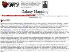
Galaxy Mapping
Young scholars research the constellations and discuss their findings. Then they construct their own maps of the galaxy using paper, black paint, aluminum foil, etc. They make a 3-D map of their chosen constellation.
Science Matters
Ring of Fire
Over a period of 35 years, earthquakes and volcanoes combined only accounted for 1.5 percent of the deaths from natural disasters in the United States. The 15th lesson in a 20-part series connects the locations of earthquakes and...
Curated OER
Map Projections: The Grapefruit Activity
Learners partcipate in activities in which they examine different map projections. They discover the positives and negatives of each type. They use grapefruits to help them with the different types of map projections.
Curated OER
Climate Change Challenge: Earth Day
High schoolers explore the concept of philanthropy. For this environmental stewardship lesson, students watch a video about state policies pertaining to greenhouse gas emissions. High schoolers plan and carry out an Earth Day service...
Curated OER
Converging Earthquake!
Students identify the fault lines and tectonic plates on the map. In this earth science activity, students simulate landscape formation using robots. They take a quiz at the end of the activity to demonstrate mastery.
Curated OER
Landscape Picture Map
Young scholars explore pollution of water sources. In this ecology lesson, students define and identify natural resources. Young scholars use map skills to locate local rivers and lakes used for recreation. Students brainstorm ways in...
Curated OER
Common Themes
Tenth graders test usefulness of a model Earth by comparing its predictions to observations in the real world. In this landforms lesson students construct an island from a contour map using model clay then analyze the landscape features...
Curated OER
Exploring Hawaiian Mountain Zones
Fourth graders watch a video that describes the climate and vegetation zones of Hawaii. They describe the different physical conditions that create vegetation zones from the sea to the mountains. In groups, they create an illustrated...
Science Matters
Slip Sliding Along
The San Andreas Fault is the largest earthquake-producing fault in California. In the seventh lesson in the 20 part series, pupils create maps of California, focusing on the San Andreas Fault system. The comparison of where California is...
Science Matters
A Model of Plate Faults
The San Andreas fault is one of the longest fault zones in the world. In a series of 20 lessons, the fourth lesson has pupils use a paper model to recreate various types of plate faults. Each is held in position then drawn into a science...
Curated OER
Earth Science: In Depth Look at Earthquakes
Students engage in an interactive Internet instructional activity covering the reasons and results of earthquakes. After reading eyewitness accounts and viewing animations, they use seismograms to measure and locate the epicenters. In an...
Curated OER
Biodiversity in an Estuary
Students investigate the biodiversity in estuaries. In this estuary lesson plan, students use Google Earth to explore the Rookery Bay National Estuarine Research Reserve. They produce a biodiversity concept map and portray the life of a...
Curated OER
Is Your Spot Hot?
Eighth graders explore global warming. In this Earth Science lesson plan, 8th graders will look for Harbingers and fingerprints for different areas. The students will identify an area at risk and they will then create a presentation to...
Curated OER
Ocean Observations
Students examine a coastal ocean. In this physical science/earth science lesson, students generate a list of questions about how researchers study the ocean. In addition, students investigate, through research on the computer, to answer...
Curated OER
Classify Rocks
Students classify different types of rocks. In this earth science lesson, students test different rock samples and construct a chart to record observations. They create a concept map that answers essential questions.
Curated OER
Ozone: The Earth's Security Blanket
Students work in groups to define and research the terms: ozone, troposphere and stratosphere. Students watch videos, conduct Internet research, participate in discussion groups and complete worksheets.
Curated OER
Photosynthesis
Fifth graders work in small groups to brainstorm responses to a problem related to some disaster that wipes out half or all plant life on earth. Groups complete a graphic organizer to compare and contrast their ideas. Students select...
NOAA
Sediments
Calcareous ooze ... what an interesting name! The 15th installment of a 23-part NOAA Enrichment in Marine sciences and Oceanography (NEMO) program focuses on sediments found on the ocean floor. After viewing the slideshow lecture,...
Curated OER
Plate Tectonics: First Grade Lesson Plans and Activities
A set of first grade geology lessons focuses on plate tectonics and movement of plate boundaries. During the pre-lab, learners experience three types of plate movement through a kinesthetic demonstration. The lab demonstrates stresses...


