Curated OER
Plot Current Earthquake Data
Students review earthquakes larger than 2.5 that have occurred over a span of several days using a given website reference. In this geology lesson, students plot epicenters on a world map and depth of the quake. All necessary websites...
Curated OER
Stressed Out!
Students identify methods for detecting and locating earthquakes and analyzing seismic data. In this earthquake lesson students simulate the action of P and S waves.
Curated OER
Earthquakes
Sixth graders explore reasons for earthquakes. They discuss and describe the types of faults. Using the internet, 6th graders research a specific location of a former earthquake. They describe the damage, magnitude, the epicenter,...
Curated OER
Build An Earthquake City
Middle schoolers work together to build an earthquake city. They simulate the shaking during an earthquake to discover if their structure is built well enough. They discover how engineers complete these types of tests to develop better...
Curated OER
Idaho Earthquakes
High schoolers examine the types of earthquakes that occur in Idaho. In groups, they compare and contrast the types of energy released and how they affect the movement of the Earth. To end the instructional activity, they analyze a map...
Curated OER
Seismic Waves
Students work together to discuss seismic waves. Using seismograph records, they practice determining where the epicenter of the earthquake was located. They identify and illustrate the three types of waves and how the records can be...
Curated OER
Earthquake Depth
Students research and locate earthquake epicenters on a map using latitude and longitude. They determine if the depth of an earthquake has any relationship to the distance from a plate boundary.
Curated OER
Locate-a-quake
Student, use seismic readings of the same earthquake from three recording stations and locate the epicenter of an earthquake on a map.
Curated OER
Seismic Waves
Learners identify the four types of seismic waves, their characteristics and effects. Then they predict the level of damage each wave might cause in a residential area and test their predictions against several computer animations. ...
Curated OER
Shake, Rattle and Roll
Sixth graders explore the causes and effects of earthquakes. They also collect and analyze data in graphs. They also use the Internet to research earthquakes
Science Matters
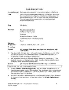
Earth Shaking Events
The world's largest measured earthquake happened in 1960 in Chile, reaching a terrifying 9.5 magnitude on the Richter Scale. The second lesson in the 20-part series introduces earthquakes and fault lines. Scholars map where previous...
Curated OER
Earthquake on the Playground
Students investigate earthquakes by examining chart data. In this disasters lesson, students identify the waves that are recorded when an earthquake arises by reading sample graphs in class. Students participate in an earthquake...
Curated OER
Earth Science: In Depth Look at Earthquakes
Students engage in an interactive Internet lesson covering the reasons and results of earthquakes. After reading eyewitness accounts and viewing animations, they use seismograms to measure and locate the epicenters. In an ongoing study,...
Curated OER
Virtual Earthquake
Young scholars visit a website that features online interactive geology and biology simulations. They observe and estimate the amplitude of the largest wave and transfer the information to a nomogram. Based on the nomogram students will...
Curated OER
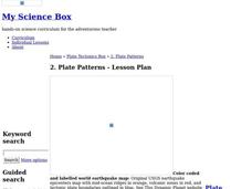
Plate Patterns
Students review the patterns they discovered from a previous activity. In this investigative instructional activity students plot data as a class and color a map.
Curated OER
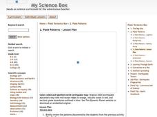
Plate Patterns
Students read about a volcano and use the latitude and longitude information to plot and describe the volcano on the map. They discuss patterns seen on the map. In addition, they color code a map according to zones, plates, etc.
Curated OER
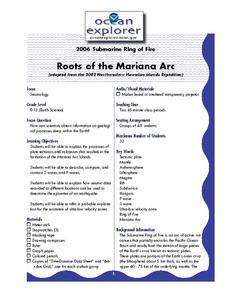
Roots of the Mariana Arc
Plumb the depths of the Submarine Ring of Fire and explore seismic waves with this lesson plan. Junior geologists simulate s-waves and p-waves, calculate their speeds, and then apply the data to discover the material that makes up inner...
Curated OER
Mapping Meteorites
After reading an article, "Cameras Capture a 5-Second Fireball and Its Meteorite's Secrets," space science superstars use the triangulation method to determine the location of a distant object. In-class activities and homework are...
Curated OER
Where Are We?
Students use Cartesian coordinates or degrees of latitude and longitude to locate important locations within their specific countries. They Use a grid to apply the concept of latitude and longitude, or positive and negative Cartesian...
Curated OER
Follow the Falling Meteorite
Students use triangulation method to locate meteorite landing site on the map. In this earth science instructional activity, students participate in a meteorite treasure hunt set up by the teacher. They explain how this method is used by...
Curated OER
Roots of the Hawaiian Hotspot
Learners explain the processes of plate tectonics and volcanism that resulted in the formation of the Hawaiian Islands. They describe, compare, and contrast S waves and P waves. They explain how


