Curated OER
European Crusaders vs. The Muslim World
Detailing the beginning of a battle that continues today, this presentation takes viewers through the various conflicts between European explorers and the Muslim cultures they stumble upon. It details the start of the Western Crusades...
Curated OER
What They Left Behind: Early Multi-National Influences in the United States
Students examine how the European voyages of discovery influence American culture even today. They map eighteenth century Europe's impact on the United States.
Curated OER
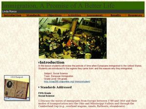
Immigration - A Promise of Better Life
What a great way to discuss European immigration in the 1700's to 1800's in America. Learners identify regions where immigration occurred, list the reasons people moved to the United States, and interview an immigrant about their...
Curated OER
The Settlement of the Chesapeake
Focusing on the Virginia and Maryland settlements in the 1600's, this presentation is a complete and thorough resource during a unit on Colonial America. It includes pictures, maps, and interesting discussion points for you to address...
Curated OER
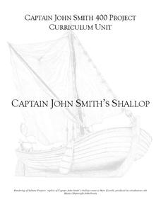
Captain John Smith's Shallop
Young explorers, all aboard the shallop to discover how early European explorers would navigate the American coastline to find resources, map terrain, and trade with Native American tribes.
Curated OER
European Lakes, Rivers, Bays, and Seas Map Quiz
In this online interactive geography quiz worksheet, students respond to 12 identification questions regarding European lakes, rivers, bays, and seas.
Curated OER
Mapping and Personifying Nations
Eleventh graders analyze the geography, actions, and relationships of countries involved in World War II. They create a map of Europe, Northern Africa, and the Pacific, and analyze and evaluate their self-made map of Europe and the...
Curated OER
Where in the World War? Mapping the Geography of D-Day
Students examine how to read maps for historical information. They listen to a lecture on the history of D-Day, analyze a historical map of the invasion of Normandy, and answer discussion questions.
Curated OER
A Moroccan Fairy Tale vs. European Folk/Fairy Tale
Second graders explore world geography by reading two different fairy tales. In this cultural storytelling instructional activity, 2nd graders read Snow White and the Seven Dwarves and the Moroccan story The Girl Who Lived with the...
Curated OER
Europe Capitals Map Quiz
For this online interactive geography quiz worksheet, students respond to 40 identification questions regarding capital cities of European countries.
Curated OER
Europe Map Quiz
In this online interactive geography quiz worksheet, students respond to 45 identification questions about the countries located in Europe. Students have 5 minutes to complete the quiz.
Curated OER
The Mystery of Exploration
Students comprehend the history of European exploration of North America. They are introduced to basic reasearch techniques. Students focus on four explorers who visited New York State: Verrazano, Cartier, Champlian, and Hudson. They...
Curated OER
Circulatory and Respiratory Systems
Eighth graders are able to write a paragraph describing each system based on the information retrieved in class. They trace a route from Holly Springs, MS to Greenwood using the maps that they were given. Students discuss the role of...
Curated OER
Europe Map Quiz (Easy)
In this online interactive geography quiz worksheet, students respond to 35 identification questions regarding the countries of Europe.
Core Knowledge Foundation
The United Kingdom
Scotland, Northern Ireland, Wales, and England are four countries united by more than a monarchy. Academics explore the geography of the nations that make up the United Kingdom. The resource is broken into six lessons focusing on the...
Curated OER
The Geography & Peoples of Europe
Extremely throrough and informative, this presentation details many aspects of European geography and demographics, including natural resources, climate, topography, and population distribution. This slideshow would be an excellent...
Curated OER
Those Who Have Come Before Me
Class members are transformed into explorers as they work in groups to locate hidden items and map their journey along the way. They then leave clues for other groups of students to follow, and ultimately discover how past explorations...
National Endowment for the Humanities
How "Grand" and "Allied" Was the Grand Alliance?
Learn more about the Grand Alliance with a scaffolded lesson plan that includes four activities. Class members use primary sources to complete a map exercise, understand the goals and objectives of each individual nation, and participate...
Curated OER
The New Monarchies: 15c - 16c
Use this presentation about the monarchies and powerful figures in 16th century Europe to set the stage for some of history's most influencial events. With maps and photographs to show the spread of power throughout Europe, the slides...
Curated OER
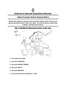
European History
In this world history instructional activity , 5th graders look for information related to the history of Europe. They view the facts from a map and apply them to different activities.
Curated OER
China - the Geography of European Imperialism - Spheres of Influence in China
Ninth graders create a map of China. They identify the various spheres of influence carved out by the Imperialist powers of Europe as well as locating geographical features of china and major cities. They explain the global impact of...
Curated OER
Europe Rivers Map Quiz
In this online interactive geography quiz learning exercise, students examine the map that includes 14 European rivers. Students match the names of the rivers to the appropriate locations on the interactive map.
Curated OER
Europe Seas Map Quiz
In this online interactive geography quiz worksheet, students examine the map that includes 14 European seas. Students match the names of the bodies of water to the appropriate locations on the interactive map.
Curated OER
Exploring the Objectives of the European Union
Students identify the members of the EU and brainstorm on how these countries would benefit by having an alliance. In groups, they examine the main objectives of the EU and present to the class.


