Curated OER
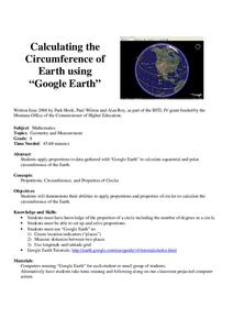
Calculation the Cricumference of Earth using "Google Earth"
Eighth graders investigate properties of circles. In this eight grade mathematics lesson, 8th graders apply proportional reasoning to data gathered with “Google Earth” to calculate equatorial and polar circumference of the Earth.
Curated OER
Finding the Way
Students identify and research navigational tools used in deep sea explorations. They are introduced to a compass, the Global Positioning System and sonar technology and then describe their uses in underwater exploration.
Curated OER
Our 50 States
Students identify the location of the 50 states using an interactive map. They practice geography skills by playing a fun game. Pupils become familiar with the state abbreviations for the US states. Students become familiar with the...
Curated OER
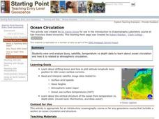
Ocean Circulation
Students view and analyze buoy, satellite, temperature vs depth data to study about ocean circulation and how is related to atmospheric circulation. They read and interpret satellite image data related to: Surface wind speeds, Wave...
Curated OER
Ocean Currents and Sea Surface Temperature
Students use satellite data to explore sea surface temperature. They explore the relationship between the rotation of the Earth, the path of ocean current and air pressure centers. After studying maps of sea surface temperature and ocean...
Curated OER
Making Sense Of A Round World On A Flat Surface
Students engage in a lesson plan that is concerned with the development of geography skills. They take part in a number of activities that center around finding and traveling to different locations. The lesson plan has resource links...
Curated OER
How High Is That?
Students explore the National Spatial Reference System. In this vertical position lesson, students will discuss the use of vertical position data and solve practical problems involving geographic positioning.
Curated OER
Exploring Alaska's Seamounts - Volcanoes, Plates, and Chains
Students examine the formation of seamounts in the Gulf of Alaska. In this seamount lesson plan, student focus on how the Axial-Cobb-Eikelberg-Patton chain was formed. They learn the associated vocabulary, and watch a teacher...
Curated OER
The Equator
Young scholars investigate cultures located along the equator. In this geography skills lesson plan, students research the geography, history, culture, and tourism of Ecuador, Indonesia, Kenya, Brazil, and Singapore. Young scholars write...
Curated OER
Unit 1 Review for Global History 9
Ninth graders review what they know about river valley civilizations. In this global history instructional activity, 9th graders play Cave Jeopardy to prepare for an exam on Sumeria, Egypt, Indus, and Chinese civilizations.
Curated OER
Compass Building Instructions
Students build their own compass following a given procedure. In this technology lesson, students explain how a compass is used in navigation. They trace the history of its development.
Other popular searches
- Longitude and Latitude
- Longitude Latitude
- Latitude and Longitude Games
- Latitude and Longitude Maps
- Longitude & Latitude
- Longitude and Latitude Game
- Longitude and Latitude Math
- Geography Latitude Longitude
- Whaling Latitude Longitude
- Longitude Latitude Minutes
- Longitude and Latitude Lines
- Volcano Latitude Longitude


