Curated OER
Gold Mine
Students investigate gold. In this gold panning lesson, students demonstrate the process of mining through an experiment using two boxes of sand. Students design a safe way to mine gold.
Curated OER
Fossil Evidence for Plate Tectonics
Students draw maps of counties that were important to the discovery of plate tectonic theory. In this plate tectonics lesson students excavate constructed fossil sites from matching coastlines and discuss the possible explanations for...
Curated OER
Traveling on the Sea of Gold: An Adventure in Japan Through Literature
Students explore the geography and culture of Japan through the story "Sea of Gold" by Yoshiko Uchida. They draw a travel poster of Japan, label a map of Japan, use chopsticks to eat Cheerios, read and discuss various books about Japan,...
Curated OER
Where Does Water Come From: The Water Cycle
Students explore the water cycle. In this water cycle lesson, students read the book The Magic School Bus Wet All Over and summarize the steps of the water cycle. Students label a picture map of the water cycle.
Curated OER
Diatom Ooze
High schoolers explore seafloor sediment. For this ocean environment lesson, students describe the characteristics of different types of seafloor sediment and oozes. They compare and discuss locations of sediments and oozes by plotting...
Curated OER
Richard Misrach
Students analyze the Great Salt Lake as a resource for artistic work and other studies. In this art analysis lesson, students view maps that show the location of the Great Salt Lake including a satellite image. Students can also study...
Curated OER
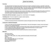
Scenes from Cameroon
Students examine art by a Peace Corps volunteer in Cameroon. Using the artwork, they identify three physical land features. They use sand and other materials to create their own day or evening scene in Cameroon. They share their...
Curated OER
Discovering the Past Using the Future: Remote Sensing and the Lost City of Ubar
Students identify and locate specific locations on the Arabian Peninsula, the Rub al Khali Desert, and present day Oman. They identify other names for the lost city of Arabia as Ubar, the Atlantis of the Sands, Iran, and the city of towers.
Curated OER
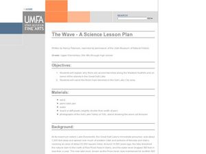
The Wave - A Science Lesson Plan
Young scholars investigate the geography surrounding the Great Salt Lake and the three main benches in the area. In this Great Salt Lake lesson, students read a background for the areas geography and make their own beach to analyze wave...
Curated OER
Local Area - Is the Land Connected to Us?#144
Students examine how human influences have affected the Connecticut River Valley. They determine what a region is in relation to its human influences. They label the important human features of this region including dams, canals, and...
Curated OER
Body and Mindscapes
Third graders view artwork by Robert Harris of landscapes and mountains. Using a map, they locate and identify the physical features of the Canadian province they live in. In groups, they use one of his paintings and add music to...
Curated OER
Missouri Time Scale
Young scholars plot events that happened years ago beginning with volcano activity. In this investigative lesson students are introduced to the different eras and plot them on a map.
Curated OER
Discovering the Past Using the Future: Remote Sensing and the Lost City of Ubar
Students use a video, maps, worksheets and Internet research to explore the role that sensing played in locating Ubar - the lost city of Arabia.
Curated OER
Water Above the Ground
Students create a river drainage basin using a plastic tub, sand and a pitcher of water. They simulate the flow of water through the basin then add chocolate syrup to model what would happen if stormwater pollution entered the basin.
Curated OER
Field Exercise: Stream Flow Dynamics & Sedimentation
Young scholars produce a vertical profile of a stream and map and define thalweg, point bar, and cut bank. They measure flow velocity differences across a stream transect and equate flow velocity with size of substrate sediment collected.
Curated OER
What is a Watershed, Anyway?
Students constrct a watershed and write about their observations. Students use maps to locate their area in relation to the watershed and inquire about what is applied to the ground above.
Curated OER
Earth's Surfaces
Students identify and define geology and earth surface vocaulary and their meanings to classify rocks and explore caves and their properties. Students find rocks and test them according to Moh's scale. They create a color coded earth...
Curated OER
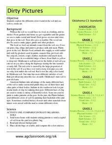
Dirty Pictures
Students investigate how food, clothing and shelter come from soil after they examine soil from their own backyards. They map soils on the color wheel before making glue and soil pictures and tie-dying T-shirts in red soil.
Curated OER
Nebraska's Geology, Soils, Groundwater Regions, and Topographic Regions
Students examine the distribution of geology, soils, groundwater, topography, and geography in Nebraska. They identify various regions and characteristics on a map, and develop a plan to manage the soil and groundwater resources of the...
Curated OER
Timbuktu: A Center of Trade
Students pretend to take a field trip to Timbuktu. Using the internet, they research the origins and secrets of this important city. They use a map to discover how important its location is to trade. They also examine why Timbuktu...
Curated OER
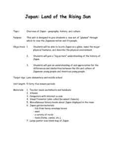
Japan: Land of the Rising Sun
Students locate Japan on a globe, name the major physical features, and describe the physical environment. They survey the differences and similarities between the life and culture of Japanese young people and American young people.
Curated OER
Neither Wind Nor Rain
Here is another in the interesting series of lessons that use the special State Quarters as a learning tool. This one uses the North Dakota State Quarter. During this lesson, your class learns about the different patterns of erosion, and...
Curated OER
Estimating the Mean State Area
Seventh grade statisticians randomly select five states and then determine the mean area. The class then works together to create a dot plot of their results.
S2tem Centers SC
Seasons
Winter, spring, summer, and fall—take the learning of the seasons beyond the elementary level to the middle school classroom. Curious learners begin by watching videos about the seasons and the rotation of planet Earth. Then, they...


