Curated OER
Big Fleas Have Little Fleas
A benthic habitat hosts a vast collection of organisms and its structure influences the biodiversity. Middle-school marine biology explorers will discuss how corals impact structure, and therefore diversity, on the ocean floor. They draw...
Curated OER
Properties of the Ocean: Measurement
Students simulate the development of an underwater amusement park after reading background on Coral Reef State Park. They decide which factors they would need to consider such as the ocean floor, currents, wave patterns and water...
NOAA
Plate Tectonics II
Mid-ocean ridges, rift valleys, island arcs, mountain ranges, earthquakes, volcanoes ... there are so many features associated with plate tectonics. The 14th installment of a 23-part NOAA Enrichment in Marine sciences and Oceanography...
Curated OER
Round and Round
Learners interpret data from a three-dimensional array of current monitors to determine an overall pattern of water circulation. They hypothesize what effect an observed water circulation pattern might have on seamount fauna. A very...
Curated OER
How Deep is the Ocean
Students predict and then analyze the layout of the tectonic plates that form the ocean's floor using mapping skills and Inquiry based problem solving, They compare the depth of various regions in the ocean with the geologic age to...
Curated OER
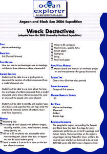
Wreck Detectives
Junior archaeologists examine types of artifacts from the Bronze Age on the internet. In collaborative groups, they create a story about a ship from this period and then construct a model of the ocean floor after their ship has sunk....
Curated OER
Bathymetry
Students study the topography of the ocean floor and the geological processes of how it is formed. They summarize what bathymetry, describe how islands are formed and illustrate a bathymetric model of the sea floor.
Curated OER
Mapping the Blue Part
Eighth graders determine the location of specific features of the stimulated ocean floor. The features include the continental shelf, continental slope, an ocean trench, and a mid-oceaniz ridge.
Curated OER
Structure of Earth
Seventh graders study and make a model of the significant formations of the ocean floor. They examine images and illustration and apply their imagination while creating the model. They are challenged to complete further research as an...
Curated OER
Oceanography
Fifth graders study the topography of the ocean floor. They determine its ever changing nature as they examine currents and trade winds. They write paragraph describing how the winds might affect land formations after the discussion of...
Curated OER
Weather History
Students study how weather is measured. In this climate lesson plan, students research how samples of the ocean floor reveal facts about the climate thousands of years ago. Students use clay samples to create layers that simulate real...
Curated OER
Sea Floor Spreading I
Students use Excel to explore the geodynamics Model equation for ocean depth around a sea-floor spreading center. They use an equation relating ocean floor depth to sea floor spreading rate and distance from spreading center for a...
Curated OER
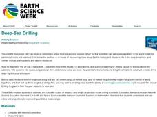
Deep Sea Drilling
Students explore ocean vessels that drill the ocean floor. In this ocean drilling lesson, students watch videos about drilling the ocean floor and discuss. Students get into groups, go outside and use string to mark off the amount of...
Curated OER
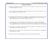
A Watered-Down Topographic Map
Eighth graders explore the ocean floor. In this topography lesson, 8th graders compare topographical maps to bathymetric charts. They will create a topographic map and note landmarks and other land features.
Discovery Education
Sonar & Echolocation
A well-designed, comprehensive, and attractive slide show supports direct instruction on how sonar and echolocation work. Contained within the slides are links to interactive websites and instructions for using apps on a mobile device to...
Curated OER
Tides & Lunar Cycles
Students demonstrate how the moon affects the tides, a neap tide, and spring tides by using their bodies as models. After students observe the model they created, they draw and label the diagram on a provided worksheet. They then log...
Curated OER
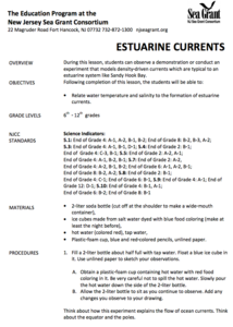
Estuarine Currents
Students experiment observing a demonstration on models of density-driven currents which are typically found in an estuarine system of water flow. They compare/contrast water temperature and salinity to the formations of estuarine currents.
Curated OER
Sonar Mapping
Students use a shoe box to create a seafloor model and use cardboard for layering inside of the shoe box to simulate the ocean floor. They probe the ocean floor to simulate sonar echoes. Finally, students graph their data to get a...
Curated OER
Cut-off Genes
Investigate the relationships between different deep-sea organisms by DNA sequencing. A worksheet provides instructions for DNA sequencing and space to work. They simulate gel electrophoresis by cutting out paper "DNA strands." Modeling...
Channel Islands Film
Island Rotation: Lesson Plan 1
How do scientists provide evidence to support the theories they put forth? What clues do they put together to create these theories? After watching West of the West's documentary Island Rotation class members engage in a series of...
Curated OER
Oceanography
Fourth graders define new vocabulary associated with oceanography. They locate and label the four oceans. They also identify features of the ocean floor.
Curated OER
How Volcanoes Grow
Students study volcanoes including rock fragments, ash, aerosols and gases. In this volcano lesson students divide into groups and build models of the three major types of volcanoes.
Curated OER
If I Can't See It, How Do I Know It's There?
Students build a model ocean using a variety of materials representing the various levels of the ocean. They collect data about the ocean floor in a partner activity. They practice working with topographical mapping grids.
Curated OER
Oceans Away
Students explore oceans. In this science lesson plan, students locate oceans, seas and continents of the world, identify ocean-related occupations, and complete activities pertaining to food chains as well as pollution.


