Curated OER
Michigan Outline Map
In this Michigan outline map learning exercise, students examine political boundaries of the state and the placement its capital city as well as its major cities. This map is not labeled.
Curated OER
Missouri Outline Map
In this Missouri outline map worksheet, students examine political boundaries of the state and the placement its capital city as well as its major cities. This map is not labeled.
Curated OER
Pennsylvania Outline Map
In this Pennsylvania outline map learning exercise, students examine political boundaries of the state and the placement its capital city as well as its major cities. This map is not labeled.
Curated OER
Oregon Outline Map
In this Oregon outline map worksheet, students examine political boundaries of the state and the placement its capital city as well as its major cities. This map is not labeled.
Curated OER
Ohio Outline Map
In this Ohio outline map worksheet, students examine political boundaries of the state and the placement its capital city as well as its major cities. This map is not labeled.
Curated OER
New Jersey Outline Map
In this New Jersey outline map learning exercise, students examine political boundaries of the state and the placement its capital city as well as its major cities. This map is not labeled.
Curated OER
New Hampshire Outline Map
In this New Hampshire outline map worksheet, students examine political boundaries of the state and the placement its capital city as well as its major cities. This map is not labeled.
Curated OER
Nevada Outline Map
In this Nevada outline map instructional activity, students examine political boundaries of the state and the placement its capital city as well as its major cities. This map is not labeled.
Curated OER
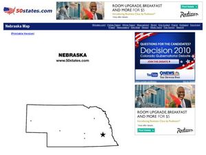
Nebraska Outline Map
In this Nebraska outline map worksheet, students examine political boundaries of the state and the placement its capital city as well as its major cities. This map is not labeled.
Curated OER
Wyoming Outline Map
In this Wyoming outline map worksheet, students examine political boundaries of the state and the placement its capital city as well as its major cities. This map is not labeled.
Curated OER
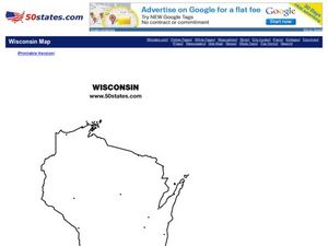
Wisconsin Outline Map
In this Wisconsin outline map activity, students examine political boundaries of the state and the placement its capital city as well as its major cities. This map is not labeled.
Curated OER
West Virginia Outline Map
In this West Virginia outline map worksheet, students examine political boundaries of the state and the placement its capital city as well as its major cities. This map is not labeled.
Curated OER
Utah Outline Map
For this Utah outline map worksheet, learners examine political boundaries of the state and the placement its capital city as well as its major cities. This map is not labeled.
Curated OER
Tennessee Outline Map
In this Tennessee outline map worksheet, students examine political boundaries of the state and the placement its capital city as well as its major cities. This map is not labeled.
Curated OER
South Dakota Outline Map
For this South Dakota outline map worksheet, students examine political boundaries of the state and the placement its capital city as well as its major cities. This map is not labeled.
Curated OER
Rhode Island Outline Map
In this Rhode Island outline map worksheet, students examine political boundaries of the state and the placement its capital city as well as its major cities. This map is not labeled.
Curated OER
Missouri Map
In this Missouri blank outline map worksheet, students examine the political boundaries of the state and then mark the state capital, other cities, and other state attractions on the map.
Curated OER
Washington Map
In this Washington state outline map worksheet, students examine political boundaries of the state and the placement its capital city as well as its major cities. This map is not labeled.
Curated OER
United States Map
In this United States outline map worksheet, students make note of the political divisions of 50 states of the nation. This map may be used in a variety of classroom activities.
Curated OER
United States Map: Capitals
In this United States outline map worksheet, students make note of the political divisions of 50 states of the nation. This map is labeled with the 50 state capitals.
Curated OER
United States of America Map: Capitals
In this United States outline map worksheet, students note the political boundaries of the states that are labeled with postal abbreviation codes as well the labeled state capitals.
Curated OER
South Dakota Map
In this South Dakota map worksheet, students fill in the state capital, major cities and other state attractions in an outline map of South Dakota.
Curated OER
North Dakota Map
In this North Dakota instructional activity, students study an outline map of North Dakota with the capital city marked. Students color the map and add other important cities and landmarks.
Curated OER
Utah Map
For this Utah worksheet, students analyze an outline map of the state of Utah. The capital city is marked. Students add other important cities, bodies of water or other important features. Students color the map.


