Curated OER
PLATE TECTONICS WITH AN ORANGE
Young scholars explore the concept of plate tectonics. They experiment to prove and explain plate tectonics.
Curated OER
Normal (dip-slip) Earthquake!
Students label the fault lines and tectonic plate boundaries on the world map. In this earth science lesson, students simulate ocean floor formation using CEENboTs. They explain the causes of earthquakes.
Curated OER
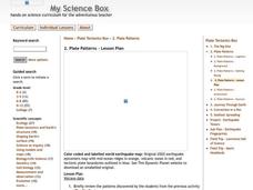
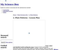
Plate Patterns
Learners read about a volcano and use the latitude and longitude information to plot and describe the volcano on the map. They discuss patterns seen on the map. In addition, they color code a map according to zones, plates, etc.
Curated OER
Plate Patterns
Students review the patterns they discovered from a previous activity. In this investigative lesson students plot data as a class and color a map.
Curated OER
What's Crackin' Under New Zealand
Students construct a model of the Earth using clay and oranges. In this earth science lesson, students explain the causes of earthquakes and volcanic activity. They write their findings in their science journal.
Science Matters
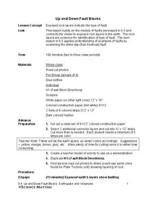
Up and Down Fault Blocks
The Sierra Mountains in Nevada and the Tetons in Wyoming originally formed as fault block mountains. In order to visualize these fault blocks, pupils use construction paper to create layers of earth. They cut the paper models and form...


