Curated OER
How Texas is Planning To Manage Its Water
Students research water management strategies in Texas. They analyze projected demand for water in the year 2050, interpret graphs and tables and then discuss the data as part of a written report. They research and map the locations of...
Curated OER
Solar Heating in the Himalayas
A fascinating lesson on how solar power is utilized by people who live in the Himalayas is here for you. In it, learners perform a case study which will help them understand that solar energy is a renewable resource, that geography...
Curated OER
The Zabbaleen, Cairo's Garbage Workers
Here is a fascinating human geography study of the Zabbaleen. They are a sub-class of people who work as garbage collectors in Cairo, Egypt. I can't say enough good things about this resource in my limited space here. It is fabulous! If...
Curated OER
Air Pollution in Mexico City
A fantastic lesson plan on urban air pollution problems throughout the world is here for you. Learners understand that there are many factors involved in creating pollution, that there are many health effects brought on by air pollution,...
Curated OER
Itaipu Dam and Power Plant (Brazil and Paraguay)
Learners study South America's Itaipu Dam and Power Plant in order to gain an understanding that hydroelectric power is a major means of generating electricity throughout the world. They also look into the environmental impacts that...
Curated OER
Freeform Texas Map
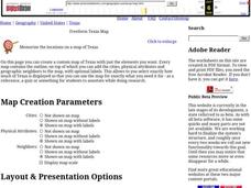
In this Texas map worksheet, students research, label and discuss the most important cities in Texas, its physical attributes and the states that surround Texas.
Curated OER
"Label Me" Texas Map
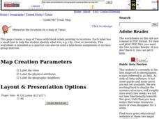
In this Texas map activity, students research, label and discuss the top ten major cities in Texas on a map, label the physical attributes and identify the surrounding states around Texas.
Curated OER
Texas Location Word Search
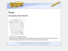
In this Texas location learning exercise, students identify, locate and label twenty six significant Texas locations on a Texas map. Students also complete a word search containing the twenty six key locations.
Curated OER
Follow the Yellow Brick Road
Students watch a portion of "The Wizard of Oz" and discuss how a map could be useful to Dorothy. They identify key components of maps and design a map of their classroom, including a key.
Curated OER
Mexican and American Views of Texas
Students study the territorial status of Texas in 1830, 1840, and 1846 and interpret an historical timeline. They develop a general statement of Mexican and American views of Texas.
Curated OER
Geography and Artifacts of Mexico
Students review the structure of government in Mexico and discuss how it is different than the United States. Using artifacts, they must label and identify the city or state in which the artifact originated. They use the artifact clues...
Curated OER
Water in the Texas Coastal Basins
High schoolers, after researching a Texas coastal basin, map and graph the information they collect and then translate it into a short report to be presented to their classmates. They brainstorm unique ways to maintain Texas estuaries as...
Curated OER
Geography: Why Is the Sacremento Valley a Good Place to Grow Rice?
Third graders locate the Sacramento Valley in California where rice is grown. In this rice growing location lesson, 3rd graders locate the Sacremento Valley, California on a map, and color the mountain ranges and terrain that is around...
Latin America Network Information Center
Urbanization
Brazil's population has been changing dramatically in the last century. Study the causes of Brazilian urbanization, including industrialization and and migration, and the implications for the country of the populations'...
Curated OER
Where in the World Am I?
Students participate in mapping activities to explore an area from different spatial perspectives. In this mapping lesson, students define the terms needed to understand a map. Students use representations such as a balloon and a...
Curated OER
Africa: A Cultural Safari
Students examine the kingdoms of West Africa during the Middle Ages. They label maps and identify Africa's physical features, simulate the trading of gold, buy and sell goods using cowrie shells, and participate in a cultural safari day.
Curated OER
Our City
Second graders familiarize themselves with the town they live in by practicing their imagination, library research and writing skills.
Curated OER
50 States: New England States
Students discover where certain states are located and what the look like. They look for their information on a web site. Each student is assigned a state which they must research then present to the entire class.
Curated OER
Run/Walk Across America
Walk, jog, or run across America. Maps of individual states, visual progress, competition, and rewards, seem to be great motivational ideas. Make sure that the distances that each class has to walk or run are the same, because getting...
Curated OER
Order Out of Borders
Learners examine the differences between natural and man-made borders by investigating the Texas quarter. They create clay models of the state of Texas.
Curated OER
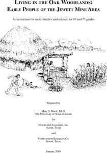
Living in the Oak Woodlands: Early People of the Jewett Mine Area
Students examine the archeology and native peoples of the Jewett Mine area of Texas. Using a map, they explain the economic patterns of the native groups and how the geography of the area affected activities. They compare and contrast...
Curated OER
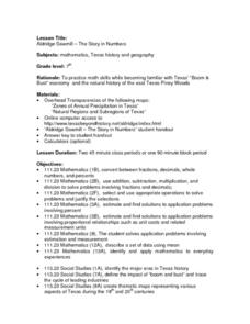
Aldridge Sawmill - The Story in Numbers
Seventh graders view overhead maps of Texas, explore history of Aldrige Sawmill, and practice math skills while becoming familiar with Texas' "Boom & Bust" economy and natural history of east Texas Piney Woods.
Curated OER
Aldridge Sawmill -- The Story in Numbers
Seventh graders view a recent transparency of the average rainfall zones of the state of Texas. Using another transparency, they identify the Piney Woods subregion of the Gulf Coastal Plain and locate national forests and sawmills. ...
Curated OER
Geographics in Arkansas
Third graders discuss where Arkansas is located on the United States map. They use geographic tools to participate in activities.


