Curated OER
Topographic Mapping
Students create a three dimensional model of a two dimensional topographic map. They explore how the two dimensional significance of a topographical map is helpful to create a three dimensional model. Students use other topograhical...
Curated OER
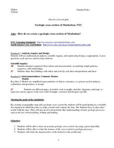
Geologic cross section of Manhattan, NYC
Students draw an accurate geologic cross section by using a given data table. They relate the features of the cross section to geologic processes. Students then relate the characteristics of the bedrock to the architecture.
Curated OER
Continents and Oceans on the Move
Students create an awareness of the vast percentage of water covering the earth. They relate similarities/differences between topographical maps and other maps of various time periods. Students examine how to use a topographical map.


