Curated and Reviewed by
Lesson Planet
This Google Earth Trip unit plan also includes:
- Lesson Plan
- Activity
- Worksheet
- Student Reference
- Answer Key
- Rubric
- Join to access all included materials
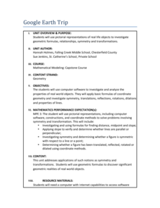
Travel the world instantly—and learn about math along the way. Using pictures of famous places taken from Google Earth, scholars look for parallel and perpendicular lines based on slope and angle measurements. They also calculate distances between locations and determine the cost of flying.
3 Views
3 Downloads
CCSS:
Adaptable
Additional Tags
Instructional Ideas
- Collaborate with a geography and/or social studies teacher to conduct a cross-curricular unit
Classroom Considerations
- Prior experience with GeoGebra is beneficial
- Learners should be familiar with slope and angle requirements for lines to be parallel and perpendicular
Pros
- Includes student handouts for extra practice
- Gives a rubric for each lesson
Cons
- None


