Curated and Reviewed by
Lesson Planet
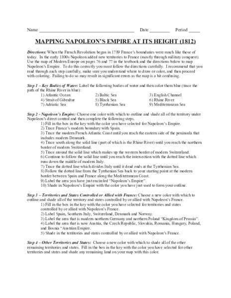
The complicated political history of Europe becomes apparent as young historians create a map of the borders of France when Napoleon's Empire was a its height in 1812.
34 Views
25 Downloads
Additional Tags
Instructional Ideas
- After class members have displayed their maps, overlay a map of France before the revolution with a map of the empire in 1812, and with a current map
Classroom Considerations
- No outline map of France is included nor is the textbook referenced identified; however, such maps are readily available on the internet
Pros
- Learners must read the directions very carefully to successfully complete the assignment
Cons
- None


