Curated OER
Oceania Map Quiz
In this online interactive geography quiz worksheet, students respond to 14 identification questions about Oceania. Students have 2 minutes to complete the quiz.
Curated OER
Drifting Continents
In this plate tectonics worksheet, students study the continents map and complete 8 short answer questions related to them. They predict what the Earth will look like millions from now.
Curated OER
Pacific Islands Crossword
In this geography worksheet, learners complete a crossword puzzle about the Pacific Islands. The twenty-three clues are about capitals, countries, and terrain.
Curated OER
University of Texas: Fiji: Relief Map
A relief map of Fiji showing its many islands. Included is an inset to show the islands in relation to others in the South Pacific. Clicking on the map will enlarge it. From the Perry Castaneda Collection.
Nations Online Project
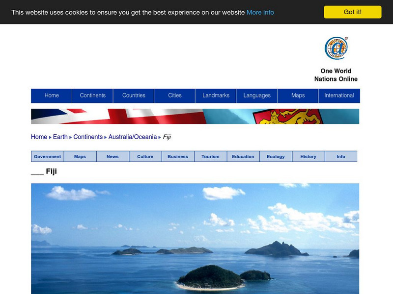
Nations Online: Fiji
Presents a country profile and travel guide to the Fiji islands, background details, and numerous links to in-depth information on the islands' culture, history, geography, economy, environment, population, news, government, and much more.
Central Intelligence Agency
Cia: World Factbook: Fiji
This resource from the CIA World Factbook provides a detailed fact sheet of Fiji. The content covers the country's geography, people, government, economy, communications, transportation, military, and transnational issues. It includes...
Encyclopedia of Earth
Encyclopedia of Earth: Fiji
The Encyclopedia of Earth provides an overview of Fiji, including its geography, natural resources, history, government, economy, and much more. Maps and images are also included, along with sources used to create the entry.
Curated OER
Science Kids: Science Images: Map of Fiji
A map featuring Fiji and its neighboring countries.
Other
Asia Society: Policy
A comprehensive storehouse of all types of information on Asia, both current and past: maps and statistics, Asian food, travel guides, photographs, articles, timelines, and more. Asia Source is the work of the Asia Society, a national...
Curated OER
Educational Technology Clearinghouse: Maps Etc: Dominion of New Zealand, 1920
A map from 1906 showing the Dominion of New Zealand with a detail inset of the Fiji Islands. In 1876 New Zealand abolished the provinces established by early European settlers, however this map shows the regional local entities of...
Curated OER
Etc: Maps Etc: Australia and Australasian Islands, 1882
A map of Australia and the Australasian islands in 1882 showing the states and territories of Australia at the time, including De Witt Land and Tasman Land in Western Australia, Alexandra Land and North Australia, Queensland, South...
Curated OER
Educational Technology Clearinghouse: Maps Etc: New Zealand, 1904
A geo-political map of New Zealand current to 1904, showing major cities, railroad lines, and navigable rivers. Physical features include mountain ranges with elevation measured in feet, major rivers and watersheds, and the 100-fathom...
Curated OER
Educational Technology Clearinghouse: Maps Etc: New Zealand, 1906
A map from 1906 showing the islands of New Zealand. In 1876 New Zealand abolished the provinces established by early European settlers, however this map shows the regional local entities of Auckland, Hawke's Bay, Taranaki, and Wellington...


