CK-12 Foundation
Ck 12: Earth Science: Surface Features of the Sun
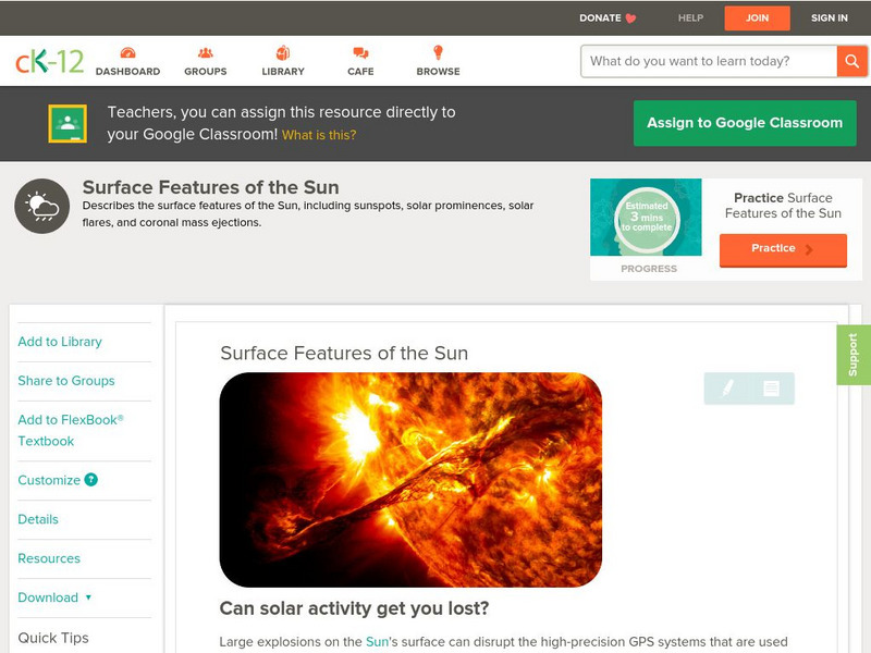
[Free Registration/Login may be required to access all resource tools.] Recognize surface features on the Sun, such as solar flares and sunspots.
CK-12 Foundation
Ck 12: Earth Science: Surface Features of the Sun
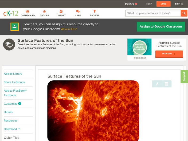
[Free Registration/Login may be required to access all resource tools.] Recognize surface features on the sun, such as solar flares and sunspots.
CK-12 Foundation
Ck 12: Earth Science: Surface Features of the Sun Study Guide
[Free Registration/Login may be required to access all resource tools.] This study guide summarizes key points about what the Sun's surface is like. Includes a few questions to check for understanding.
CK-12 Foundation
Ck 12: Fourth Grade Science: Earth Science: Theory of Plate Tectonics
[Free Registration/Login may be required to access all resource tools.] Discusses what a tectonic plate is and how scientists can recognize its edges, how the plates move by convection in the mantle, the three types of plate boundaries...
PBS
Pbs Learning Media: Earth's Systems: The Water Planet
Observe different forms of water and how it covers about 75 percent of Earth's surface in this media gallery captured by NASA and the U.S. Geological Survey (USGS). Use the satellite and ground images in this resource to enhance student...
Smithsonian Institution
Smithsonian: Earth From Space
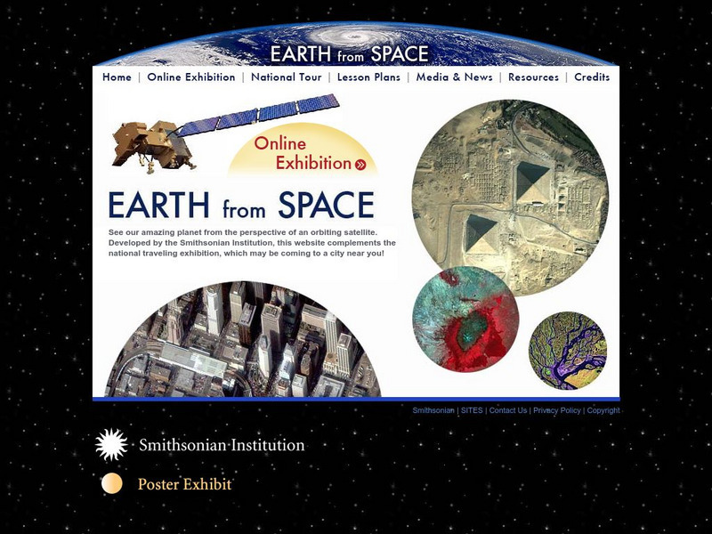
You may not have seen the monsoon rains in India or Mount Taranaki in New Zealand, but thanks to the Smithsonian's online exhibit, it's easy to observe the earths natural and man made features. Click on "Online Exhibition" to view and...
NASA
Nasa: Aerial Photography: The Adventures of Amelia the Pigeon
An animated adventure story, developed by NASA, that helps children understand earth science concepts by using satellite photography and other types of aerial photographs to identify physical features on the surface of the earth. Teaches...
NASA
Nasa Earth Observatory: Changing Global Land Surface
Learn how scientists view the changes in the land surface made by humans over time. Read questions that scientists pose to answer some unknown questions about global land surface and learn several things scientists are doing to try to...
American Geosciences Institute
American Geosciences Institute: Earth Science Week: Surficial Features
Using a surficial features map, students see the connections between those features and other Earth systems. They will consider the interactions of the geosphere, hydrosphere, biosphere, and atmosphere.
NASA
Nasa: Jsc Digital Image Collection: Earth From Space
Hundreds of amazing images of Earth from space. This site provides images of geographic regions, landscapes, cities, habitats, distinctive features, and much more. These images are easy to access and are of amazing quality.
NASA
Nasa Earth Observatory: Polar Ice Fact Sheet
Learn about polar ice, its effects on energy exchanges, how much surface area it covers, and how it is affected by global warming.
CPALMS
Florida State University Cpalms: Florida Students: Mantle Convection and Earth's Features
A resource to help understand that the movement of the Earth's tectonic plates is caused by convection. The plates' movements cause geologic features on the Earth's surface.
CK-12 Foundation
Ck 12: Fourth Grade: Earth Science: Erosion and Deposition by Flowing Water
[Free Registration/Login may be required to access all resource tools.] Discusses how flowing water causes erosion; describes how runoff, streams, and rivers change Earth's surface; and identifies features caused by groundwater erosion.
Math Science Nucleus
Math/science Nucleus: Observing Different Landforms
Lesson plan with subsequent pages to use with the lesson. Images with landform word match up and additional work on earth modeling.
Other
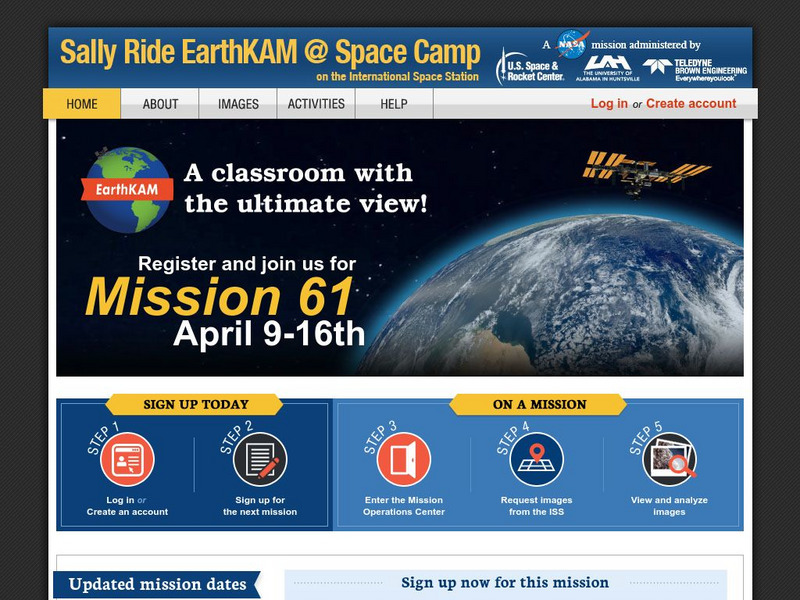
Nasa: Iss Earth Kam
Students get a whole new perspective of the world through images obtained from the International Space Station. Students can even request images to be taken through ISS EarthKAM. Activities and educator guides are provided.
National Association of Geoscience Teachers
Quaternary Glacio Fluvial History of the Upper Midwest Using Anaglyph Stereo Maps
Students examine the anaglyph stereo map and use textures to generate a surficial geology map of the Upper Midwest. They can then interpret the textures in terms of landforms, geomorphic features, and earth-surface processes, as well as...
PBS
Pbs Learning Media: Why Do We Have Seasons?
Explore what causes seasons on Earth in this interactive adapted from NASA materials that features four cities at different latitudes. Use this resource to view how Earth's axial tilt causes seasons from different perspectives and to...
Science Education Resource Center at Carleton College
Serc: Geologic History Field Investigation Minnehaha Falls
An inquiry-based geology field investigation where students investigate sedimentary geology, stream processes, topography, rock layers, and land surface features as well as study past changes in the depositional environment in the area.
CK-12 Foundation
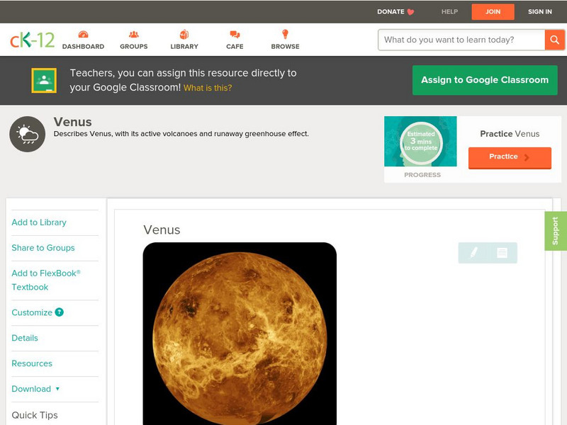
Ck 12: Earth Science: Venus
[Free Registration/Login may be required to access all resource tools.] Learn about the distinctive features of the planet Venus.
CK-12 Foundation
Ck 12: Earth Science: Venus
[Free Registration/Login may be required to access all resource tools.] Learn about the distinctive features of the planet Venus.
Indiana University
Indiana University Bloomington: Cupcake Drilling [Pdf]
In this lesson, students will model geologic drilling using layered cupcakes to learn about rocks below the Earth's surface. Students will locate features on a geologic map and observe cupcake cores to evaluate the scientific techniques...
CK-12 Foundation
Ck 12: Fourth Grade Science: Earth Science: Erosion and Deposition by Waves
[Free Registration/Login may be required to access all resource tools.] Discusses how waves cause erosion of shorelines, features formed by wave deposition, and ways to protect shorelines from wave erosion.
Other
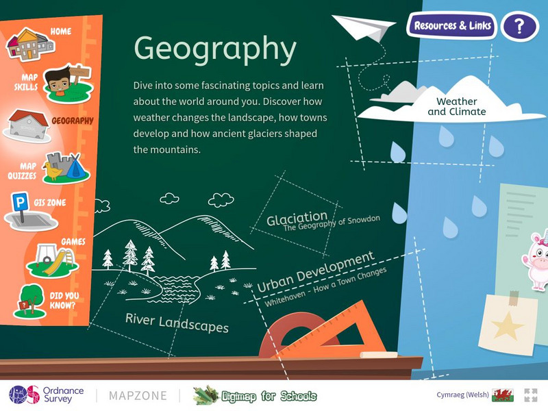
Ordnance Survey: Mapzone: Geography
Take a look outside, at the landscape. Explore the world, the features of the earth, the impact of weather on the earth through this resource. Discover weather, climate, glaciation, rivers, and urban development.
National Geographic
National Geographic: Landscape
A landscape is part of the Earths surface that can be viewed at one time from one place. It consists of the geographic features that mark, or are characteristic of, a particular area. This resource examines different ways types of...
