CK-12 Foundation
Ck 12: Plix: Map for Earth's Tectonic Plates: Earth's Tectonic Plates
[Free Registration/Login Required] Understand what is happening at the plate boundaries with this interactive map of Earth's tectonic plates. This page slso includes a short quiz over plate tectonics.
Smithsonian Institution
Smithsonian: This Magnetic Map Shows Earth as You've Never Seen It Before
This article discusses a map generated by the European Space Agency's Swarm mission that depicts Earth's magnetic field using satellites to measure magnetism. The map reveals magnetic stripes and magnetic anomalies. The article includes...
NASA
Nasa Earth Observatory: Global Maps: Land Surface Temperature
View a global map from NASA's Earth Observatory that shows land surface temperature from February 2000 to November 2008. Learn how land surface temperature is measured and monitored.
Other
Discover Canada Through National Maps and Facts: Relief
Links to all of Canada's provinces and territories relief maps. Maps can be viewed as a picture or as a .pdf file. Be sure to check out the links to lesson plans as well as the many other types of maps.
TeachEngineering
Teach Engineering: Projections and Coordinates: Turning a 3 D Earth Into Flatlands
Projections and coordinates are key advancements in the geographic sciences that allow us to better understand the nature of the Earth and how to describe location. These innovations in describing the Earth are the basis for everything...
TeachEngineering
Teach Engineering: Where Are the Plastics Near Me? (Mapping the Data)
In a student-led and fairly independent fashion, data collected in the associated field trip activity are organized by student groups to create useful and informative Google Earth maps. Each team creates a map, uses that map to analyze...
Other
Reach the World: Geogames Build Planet Earth
Practice your mapping skills with Build Planet Earth! This animated 3D globe challenges players to locate the Poles, continents, countries, and cities. Colorful graphics and sound effects as well as a teacher's lesson plan are included.
TeachEngineering
Teach Engineering: Digital Mapping and Geographic Information Systems (Gis)
Geographic information systems (GIS), once used predominantly by experts in cartography and computer programming, have become pervasive in everyday business and consumer use. This unit explores GIS in general as a technology about which...
Other
Bscs: Earth's Changing Surface Lesson 2: Landform Detectives
Using relief maps, students will learn that landforms can be different from one place to another. Included are a minute-by-minute lesson plan, activities, and teacher discussion points and questions.
NASA
Nasa Earth Observatory: Global Maps: Net Radiation
View a global map from NASA's Earth Observatory that shows net radiation from July 2006 to November 2008. Learn about radiation and the balance between incoming and outgoing energy in the atmosphere.
NASA
Nasa Earth Observatory: Global Maps: Total Rainfall
View a global map from NASA's Earth Observatory showing total rainfall from January 1998 to November 2008.
E-learning for Kids
E Learning for Kids: Mediterranean Sea: How Long Does It Take for the Earth to Go Around the Sun?
Learn about the Earth's revolution and rotation in this module.
Other
Earth Journalism Network: Climate Commons
A unique interactive tool that embeds news articles and information about climate change into a map of the United States. Users are able to explore what the impact of climate change at a local, regional or national level, as well as...
NASA
Nasa Earth Observatory: Global Maps: Chlorophyll
Discover how chlorophyll is related to photosynthesis and watch a map evolve from July 2002 to October 2008 showing the varying levels of chlorophyll. Read about how important chlorophyll and photosynthesis are to our environment.
NASA
Nasa Earth Observatory: Global Maps: Cloud Fraction
View a global map showing cloud fraction from January 2005 to November 2008. Learn how clouds have a warming and cooling influence depending on altitude.
Other
Zoom Earth: Aerial and Satellite Images
Type in the location you are searching for, and satellite imagery will produce an aerial map for you. Helps students better understand these concepts by providing a visual for them.
Concord Consortium
Concord Consortium: Exploring Earth's Seismicity
This sequence is an introduction to plate tectonics using evidence from topographical maps, earthquake location and depth, and volcano location using the Seismic Explorer model to investigate patterns of earthquake data and to infer the...
Other
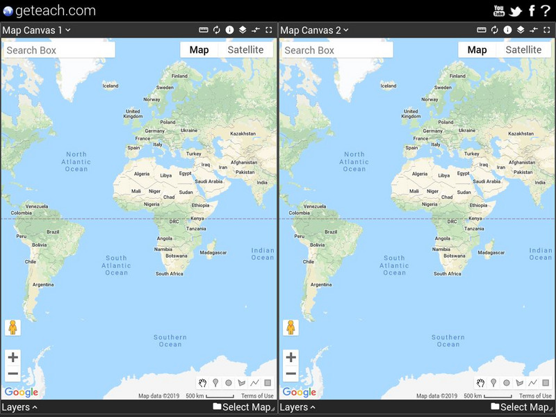
Google Earth Teach: Maps
A free opportunity to allow students and educators to learn and engage using Google Earth. A variety of maps may be selected and multiple layers chosen to display different aspects of each map.
CK-12 Foundation
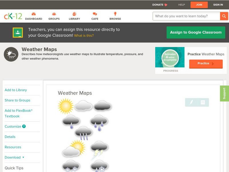
Ck 12: Earth Science: Weather Maps
[Free Registration/Login may be required to access all resource tools.] How meteorologists create and read weather maps.
CK-12 Foundation
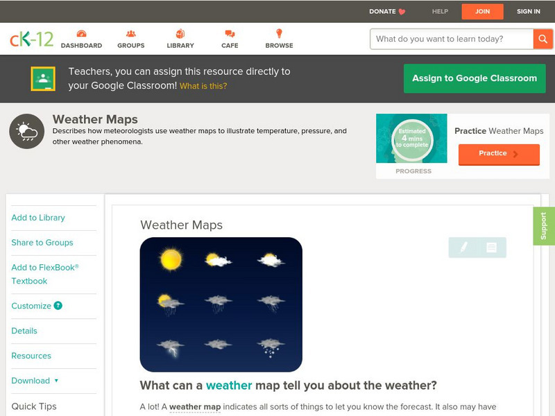
Ck 12: Earth Science: Weather Maps
[Free Registration/Login may be required to access all resource tools.] How meteorologists create and read weather maps.
CK-12 Foundation
Ck 12: Earth Science: Map Projections
[Free Registration/Login may be required to access all resource tools.] How to use topographic, bathymetric, and geologic maps.
NASA
Nasa: Probing Earth Through the Clouds
This site from the National Aeornautics and Space Administration provides a fun activity for the subject. "Clouds often hide large areas of the Earth's surface. We can use radar to make detailed maps of Earth right through clouds or...
Curated OER
Google for Education: Children and Technology: Google Earth
A demo presentation using Google Earth to fly around the world, visiting notable visitor points around the globe.
Other popular searches
- Earth Scene Concept Maps
- Earth Scone Concept Maps
- Earth Science Mapping
- Earth Sciecne Concept Maps
- Mapping Earths Surface
- Mapping Earthquakes


