Hi, what do you want to do?
Other
The Roman World 509 b.c. To a.d. 180
This narrative site provides great overview to life in ancient Rome and Roman history. The geography, early settlers, Roman monarchy, Roman conquest of Italy are all mentioned.
Stanford University
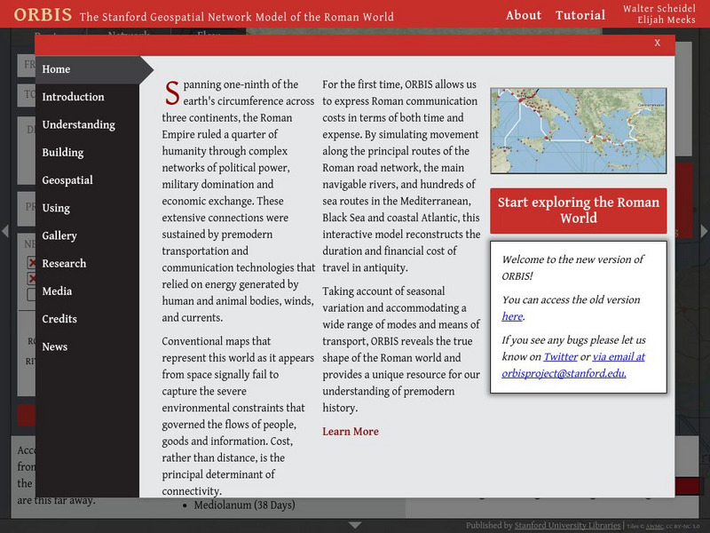
Orbis: The Stanford Geospatial Network Model of the Roman World
A geospatial model mapping the roads and trade routes of the Roman world reconstructs the time and cost associated with travel and trade around 200 CE.
Other
Maps of Ancient Rome
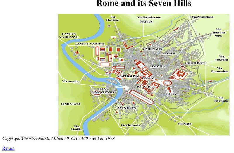
This ancient history site features maps of Rome from just the "seven hills" to the entire city plan with the areas labeled in Latin.
Franco Cavazzi
Roman empire.net: Roman Empire Map
This site from Roman-Empire.net provides an interactive map of the Roman Empire. The expanse of the empire can be viewed by dates. The site can be searched by Provinces, Territories, Tribes, Towns, Cities, or Barbarian Incursions.
Loyola University Chicago
De Imperatoribus Romanis: Rome and Its Seven Hills
This online map shows Rome, the seven hills, the roads that lead into Rome, and major buildings. Labeled in Latin, but easy to figure out.
Other
Ministry of Culture and Communication: Paris, a Roman City
Explore the history of Paris (or Lutetia, as the ancient Romans called it) by following archaeological remnants and still-extant traces of its earlier inhabitants. Paris, A Roman City, focuses principally on the Roman phase of the city's...
Forum Romanum
Outlines of Roman History: Introduction the Land and the People
This is the introductory chapter of Morey's 1901 textbook on Roman History. It sets out the geography of Italy and the Italic tribes who lived there. The text is old, but surprisingly easy to read and packs in a lot of information.
Franco Cavazzi
Roman Empire: The City of Rome
At this site from the Roman Empire, The Forum is explained, from its early beginnings to the later days of the Republic. This site colorfully describes the people, shops, markets, and the "Subura."
PBS
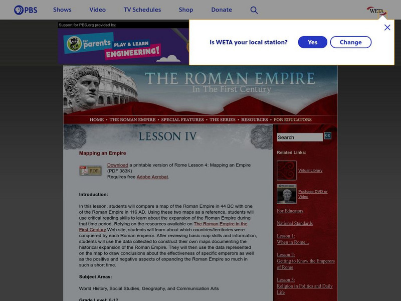
Pbs: The Roman Empire of the 1st Century: Mapping an Empire
In this lesson plan, students will compare a map of the Roman Empire in 44 BC with one of the Roman Empire in 116 AD. Using these two maps as a reference, students will use critical reading skills to learn about the expansion of the...
Forum Romanum
Outlines of Roman History: Beginnings of Rome: The Situation of Rome
The seven hills of Rome are shown on two maps, showing the hills and their relation to neighboring lands on the Italian peninsula. There is a brief discussion on the geographic importance of the hills.
University of Calgary
University of Calgary: Roman Domination of the Mediterranean
This map, which is provided for by the University of Calgary, displays the extent of the territories governed by the Roman Republic in 86 BC.
Franco Cavazzi
Roman empire.net: Roman Italy Map
This site from Roman-Empire.net is an interactive map of Roman Italy. Areas, Regions, Tribes, Towns, Cities, Rivers, Lakes, and Mountains can be searched for with pull-down menus.
Other
Edublog: Dalton School: Rome Project
Looking for data about Classical Rome, check out the resources provided by The Dalton School.
Hofstra University
Hofstra University: Transport Geography: Roman Road Appian Way
Hofstra University offers an excellent image and several paragraphs of information on the Appian Way, a road that set the standard for road construction throughout Roman territory.
Friesian School
Fresian School: Animated History of Rome and Romania
This animated graphic, which is provided by the Fresian School, allows you to see how Rome grew and shrank between 300 BC and 1453 AD. The map changes in increments of about 50 years.
New Advent
Catholic Encyclopedia: Catholicity in Canada
This entry from the Catholic Encyclopedia traces the history of the Roman Catholic Church in Canada from New France to discussions of state-funded schooling. Please note that the Catholic Encyclopedia is a historic reference document...
University of Calgary
U Calgary: Italy During the Decline of the Etruscan League and the Rise of Rome
A map showing the relative small size of Rome in relation to its neighbors in 380 BC. The Greek colonies are shown at the foot of the boot of Italy, the Etruscan League is to the north and the Italic Tribes to the east.
Israel Ministry of Foreign Affairs
Israel Ministry of Foreign Affairs: Second Temple Period
This site from the Israel Ministry of Foreign Affairs provides an article on the history of one part of Jerusalem called the "Upper City," during the period of King Herod and into the Roman period. Includes a nice description of a house...
Israel Ministry of Foreign Affairs
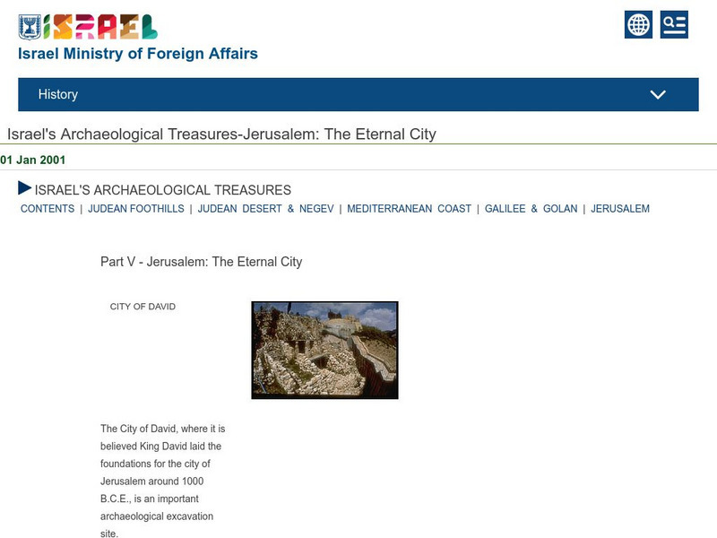
Imfa: Jerusalem the Eternal City
A pictorial tour from Israel Ministry of Foreign Affairs of the most famous of Jerusalem's archaeological sites starting with the "City of David," and ending with the "Western Wall," the only wall of the temple mount left standing after...
Other
Rene Seindal: The Seven Hills of Rome
An article which discusses the early history of Rome as it relates to its geographic setting. A description of each of the seven hills of Rome is provided. Each is accompanied by a set of photographs.
Channel 4 Learning
4 Learning: Geography Essentials, Village Settlers
Information about how village settlers first came to settle on foreign lands and what they needed to survive.
Israel Ministry of Foreign Affairs
Imfa: The Palace Fortress of King Herod
An account of the combined palace and fortress of King Herod located near Jerusalem. Give descriptions of the palace itself and how it was used during the revolt against Rome in 70 B.C.E.
Nations Online Project
Nations Online: Vatican City State
Comprehensive reference tool that takes you on a virtual trip to the Vatican. Much background details are given on its art, culture, people, environment, geography, history, economy, and government. There are numerous links available...
Other
Parco Del Delta / the Po River
A comprehensive description of the Po River, the largest river in Italy.


