National Earth Science Teachers Association
Windows to the Universe: The Andes Mountains
Satellite photography and brief outline information describe the Andes mountains and provide links to specific features within the landscape - Atacama desert, or evidence of volcanic activity for example.
Other
Habitats of the Andes Mountains
Great general information about the Andes Mountains. Excellent photos to go along with the info.
Encyclopedia Britannica
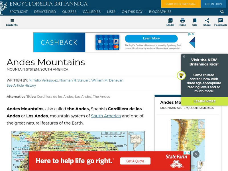
Encyclopedia Britannica: Andes Mountains
Brief overview of the Andes Mountains. Contains links to related topics and helpful facts about the Andes.
MadSci Network
What Plates Are Colliding to Form the Andes Mountains?
Read the informative and detailed explanation of what plates are colliding to form the Andes Mountains. David Scarboro provides his expert advice to help students understand the answer to this question.
Ducksters
Ducksters: Geography for Kids: Mountain Ranges
Learn about the geography of the world's mountain ranges such as the Himalayas, Rockies, Andes, and Alps on this site.
Other
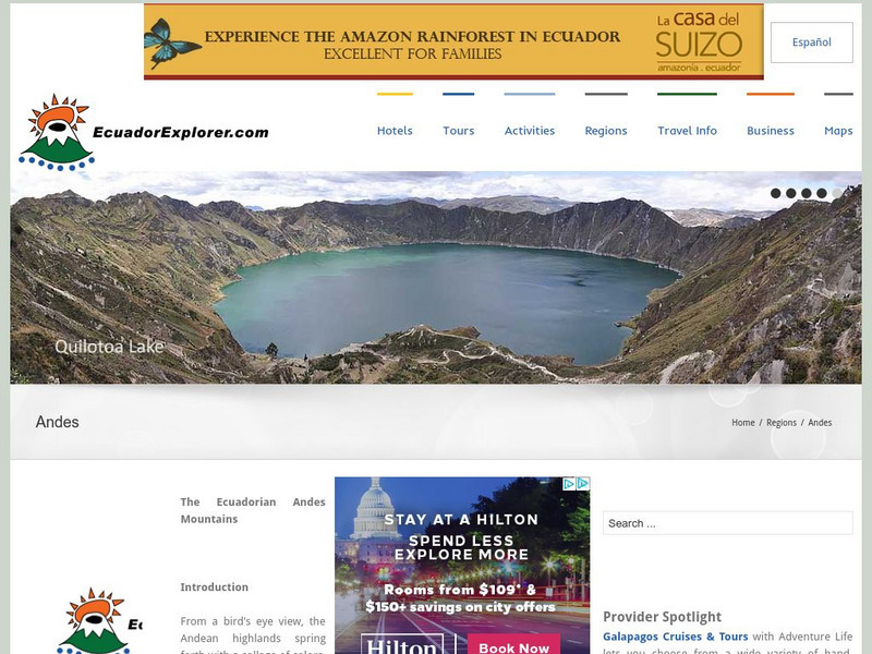
Ecuador Explorer: The Andes
Detailed information about individual cities of the Andes Mountains.
Other
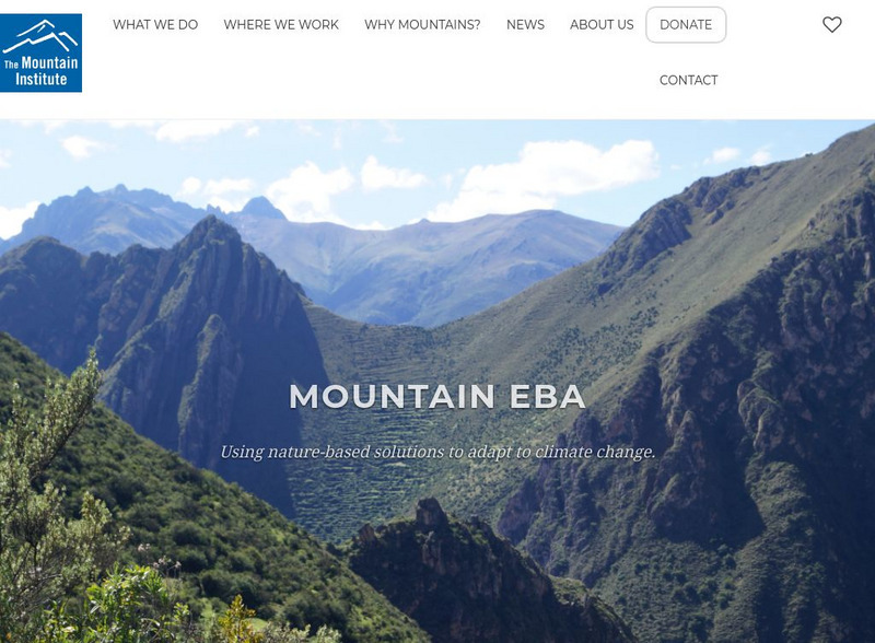
Mountain Institute: Learning About Mountains, Explore Mountains
The Mountain Institute provides information on three areas: Andes, Appalachians, and the Himalayas. Find resources on conservation, the mountain ecosystems, and the culture of the areas.
Other
Peakbagger: Mt. Aconcagua
Description and climbing notes about Mt. Aconcagua in Argentina. Includes a detailed description, notes, pictures, and links. Good informational site.
PBS
Pbs Teachers:patagonia: The Aeronautics of Condor Flight
Examine the size, range and habits of the Andean condor, construct a model condor and fly it.
A&E Television
History.com: How Early Humans Survived the Ice Age
The most recent ice age peaked between 24,000 and 21,000 years ago, when vast ice sheets covered North America and northern Europe, and mountain ranges like Africa's Mt. Kilimanjaro and South America's Andes were encased in glaciers. At...
Curated OER
Etc: Maps Etc: Physical Map of South America, 1898
A map from 1898 of South America showing the general physical features including mountain systems, prominent peaks and volcanoes, river and lake systems, plateaus, and coastal features. The map includes an insert of the Isthmus of...
Curated OER
Etc: Maps Etc: Physical Map of South America, 1916
A map from 1916 of South America showing the general physical features including mountain systems, prominent peaks and volcanoes, river and lake systems, plateaus, and coastal features. The map is color-contoured with land elevations...
Curated OER
Etc: Maps Etc: Physical Map of South America, 1910
A physical map from 1910 of South America showing color-contoured land elevations and water depths. Elevations range from sea level to over 6,500 feet, and water depths range from sea level to below 13,000 feet. This map shows the...


