Khan Academy
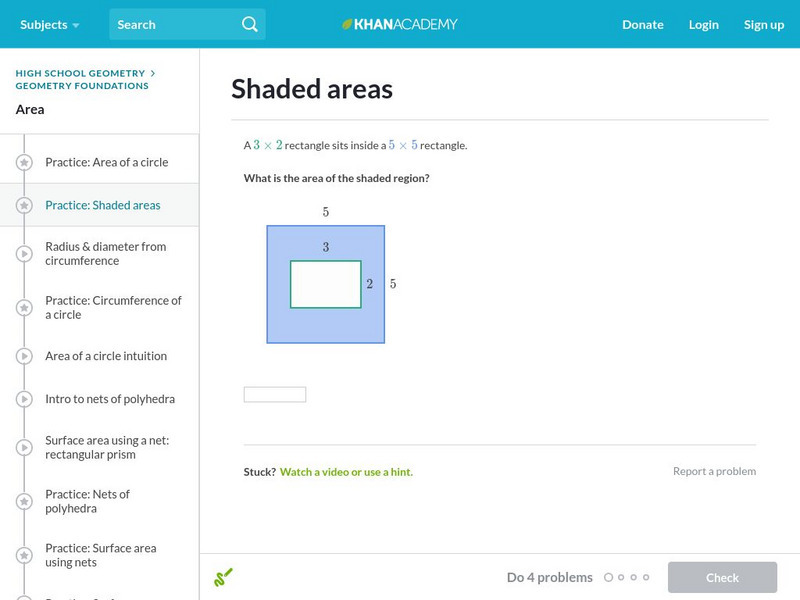
Khan Academy: Shaded Areas
Find the areas of shaded regions which are combinations of squares, triangles, and circles. Students receive immediate feedback and have the opportunity to try questions repeatedly, watch a video or receive hints.
Varsity Tutors
Varsity Tutors: Hotmath: Graphing Calculator Practice Problems Areas and Volumes
Practice using your graphing calculator for area and volume problems. If you get stumped or if you would like to check your work, then select the View Solution button, which is located directly under each problem.
Science Buddies
Science Buddies: Thinking in (Semi )Circles: The Area of the Arbelos
The arbelos is the white-shaded region between the three semicircles in the illustration at right. In this project, you'll prove an interesting method for determining the area of the arbelos.
CK-12 Foundation
Ck 12: Elem Math: Areas of Rectangular Composite Figures Overlap 2
[Free Registration/Login may be required to access all resource tools.] A video and practice questions where students are presented with a rectangle that has shaded areas. They must calculate the area of the unshaded region. [1:48]
CK-12 Foundation
Ck 12: Area of Sectors and Segments: Pacman Area
[Free Registration/Login Required] Students are to determine the area of the shaded region between two radii. Click challenge me to answer practice questions and click learn more to watch a video.
Better Lesson
Better Lesson: Shady Figures Stations Activity
Sixth graders will reinforcing the concept of finding the area of shaded regions using technology, independent work, and small groups.
Better Lesson
Better Lesson: Shady Figures
Making use of structure (MP7) to find the area of shaded regions!
Varsity Tutors
Varsity Tutors: Hotmath: Practice Problems: Applications of Integrals
Hotmath provides 24 practice problems dealing with integral applications. Each of the practice problems include a step-by-step guide for solving their application.
University of Colorado
University of Colorado: Normal Probabilities Applet #2
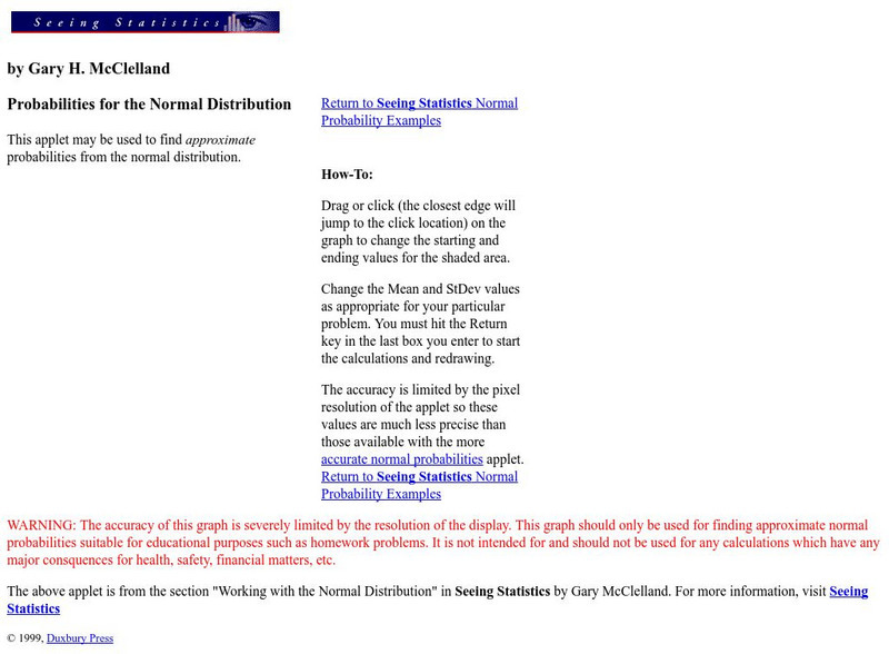
This Applet allows the user to grab and drag the ends of the included region below the standard normal curve to the appropriate places needed. The user directly experiences the connection between the shaded area under the curve and the...
Curated OER
Etc: Maps Etc: Forest Planting Regions in the United States, 1919
A map from 19169 of the United States showing the forest planting regions of the United States. The un-shaded areas are treeless except along the streams (riparian).
Purple Math
Purplemath: Linear Programming: Introduction
Linear programming is a part of a very important area of mathematics called "optimization techniques". This field of study (or at least the applied results of it) are used every day in the organization and allocation of resources. Linear...
University of Texas at Austin
The Perry Castaneda Library Map Collection
This collection contains more than 250,000 maps covering all areas of the world, and ranging from political and shaded relief maps to the detailed and the historical. Select from a region of the world or an area of highlighted interest.
Curated OER
Educational Technology Clearinghouse: Maps Etc: North America, 1750
A map of the eastern portion of North America, Central America, and western Caribbean showing the territorial claims in 1750 of the British, French, and Spanish in the region. The map shows major cities at the time, lakes, and rivers. As...
Curated OER
Etc: Maps Etc: Central America and West Indies, 1870
A map from 1870 of Central America and the West Indies, including the Bahamas, Greater Antilles, and Lesser Antilles. The map shows the political boundaries and British possessions (shaded pink) at the time, capitals and major cities,...


