Hi, what do you want to do?
Other
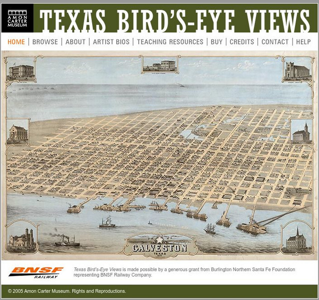
Amon Carter Museum: Texas Bird's Eye Views
A fascinating collection of fifty-nine bird's-eye view maps of Texas in the 1800s, covering forty-four cities in all. These maps were created by artists and provide historical records that would otherwise not exist. Each map is...
HotChalk
Hot Chalk: Lesson Plans Page: Birdseye View, Mapping
Lesson that helps students understand that maps show a "birds-eye view" of a place. Students stand above a teacher-made model and discuss how the objects in the model looked from above. Then students draw objects from a birds-eye view,...
NASA
Nasa: Aerial Photography: The Adventures of Amelia the Pigeon
An animated adventure story, developed by NASA, that helps children understand earth science concepts by using satellite photography and other types of aerial photographs to identify physical features on the surface of the earth. Teaches...


