Other
Science Explained: Montserrat Volcano
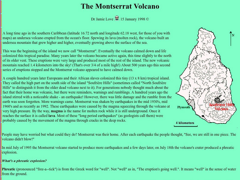
Read an illustrated description of how an undersea volcanic eruption formed the Caribbean island of Montserrat. Includes a lengthy description of volcanic processes and defines many volcanic terms, such as lahar, tephra, and pyroclastic...
InterKnowledge Corp.
Geographia.com: Grenada
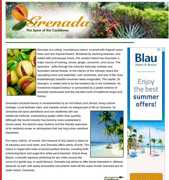
Featured is the official online tour guide from Geographia.com of the island of Grenada in the Caribbean. Learn about the geography, history and tourist attractions of these volcanic islands.
Curated OER
Educational Technology Clearinghouse: Maps Etc: North America, 1868
A map from 1868 of North America, Central America, and the Caribbean showing the physical features of the region, vegetation types, ocean currents, temperatures, principal products and mineral deposits. Mountain chains are represented by...
Curated OER
Educational Technology Clearinghouse: Maps Etc: South America (Physical), 1901
A map from 1901 of South America showing the physical features of the region. This map is color-coded to show general elevations from sea level to over 6,500 feet, mountain systems, drainage divides, lakes, rivers, coastal features, and...
Curated OER
Etc: Maps Etc: Physical Map of South America, 1910
A physical map from 1910 of South America showing color-contoured land elevations and water depths. Elevations range from sea level to over 6,500 feet, and water depths range from sea level to below 13,000 feet. This map shows the...
Curated OER
Etc: Maps Etc: Physical Map of South America, 1901
A map from 1901 of South America showing the general physical features including mountain systems, prominent peaks and volcanoes, river and lake systems, plateaus, and coastal features. The map is color-coded with the highlands above...
Curated OER
Etc: Maps Etc: Physical Map of South America, 1902
A map from 1902 of South America showing the general physical features including mountain systems, prominent peaks and volcanoes, river and lake systems, plateaus, and coastal features. The map is color-coded with the highlands above...


