Rice University
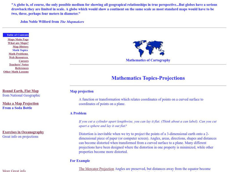
Rice University: Cynthia Lanius: Mathematics of Cartography: Projections
Understanding map projections is an important map-reading skill. Features graphics and links to examples of many different projections and an activity on making a Mercator projection.
University of Minnesota
University of Minnesota: Immigration: Projecting Maps, Making Representations
This resource compares four different world maps. The goals are to encourage critical thinking about maps as representations and to show how maps influence the ways in which one conceptualizes the world.
Science Buddies
Science Buddies: Interpreting Area Data From Maps vs. Graphs
Graphical methods of data presentation are a key feature of scientific communication. This project asks the question, "What's the best way to compare the land area of states: a map or a bar graph?" You'll be measuring performance on two...
Science Buddies
Science Buddies: Making Species Maps
Conservation biologists know which places are important to protect. How nature guides know which animals can be found in which places, are made possible partly by conservation biology. This experiment allows you to discover how maps can...
Science Buddies
Science Buddies: Science Careers: Mapping Technician
Mapping technicians, also called surveying technicians, as their name suggests, use many different tools to make maps of many kinds. This Science Buddies site lays out the requirements needed to become a mapping technician, as well as...
Texas State Historical Association
Texas State Historical Association: Texas County Maps [Pdf]
An activity guide where students refer to the Texas Almanac, which is free to download, for information needed to complete assigned tasks. In this lesson, they research information about different counties in Texas. Assignments include...
Vroma Project
V Roma Project: Forum Romanum: Clickable Map of the Roman Forum
VRoma provides a map of the Roman Forum. Click on different areas of the map to learn more about the history and architecture of the many buildings in the Forum.
TeachEngineering
Teach Engineering: Projections and Coordinates: Turning a 3 D Earth Into Flatlands
Projections and coordinates are key advancements in the geographic sciences that allow us to better understand the nature of the Earth and how to describe location. These innovations in describing the Earth are the basis for everything...
SMART Technologies
Smart: Final Project Map Skills
This lessons explores the different ways we can view our world along with the different parts of a map or globe.
Science Buddies
Science Buddies: Dry Spells, Wet Spells: How Common Are They?
Here's a project that looks at what the weather was like for over a hundred years. The goal of the project is to compare long-term precipitation patterns in different regions of the country. You will work with historical climate data,...
TeachEngineering
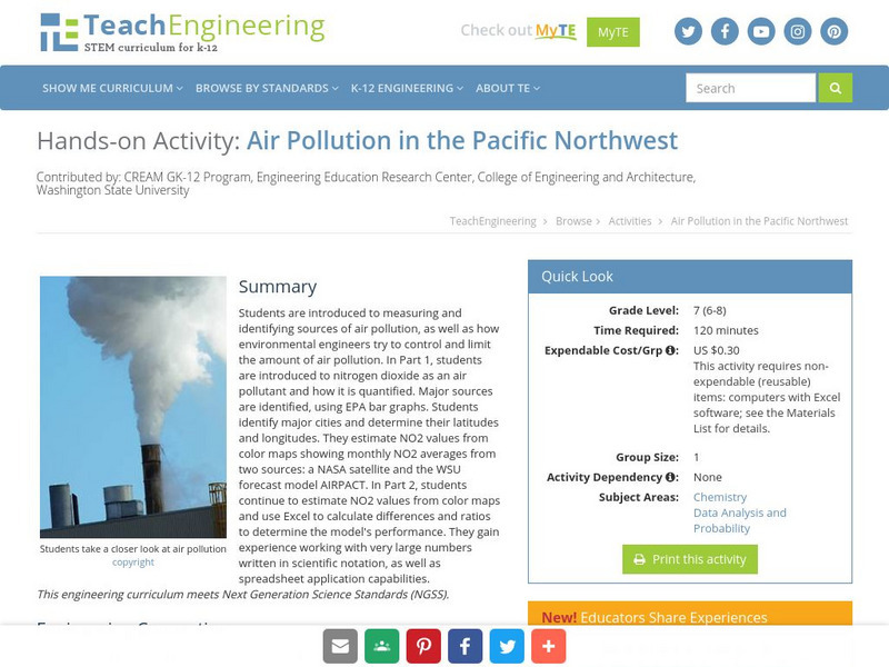
Teach Engineering: Air Pollution in the Pacific Northwest
Students are introduced to measuring and identifying sources of air pollution, as well as how environmental engineers try to control and limit the amount of air pollution. In Part 1, students are introduced to nitrogen dioxide as an air...
Glenbow Museum
Glenbow Museum: Mavericks: An Incorrigible History of Alberta
The Glenbow Museum presents the stories of almost 40 different mavericks who shaped the history of Alberta. The website breaks down the province's history into the following nine areas: Uninvited Guests, Mounties, Railway, Ranching,...
Science Buddies
Science Buddies: Ozone Depletion
The ozone layer is important for blocking most of the harmful radiation that comes from the sun. You can find maps of the ozone layer and compare different regions of the globe for ozone coverage. Some scientists think that aerosols in...
Cengage Learning
Investigating Social Change: Midwest
Explore the evolution of the Midwest region of the United States. Students and teachers will gain a different perspective about the Midwest when they check out this site.
EL Education
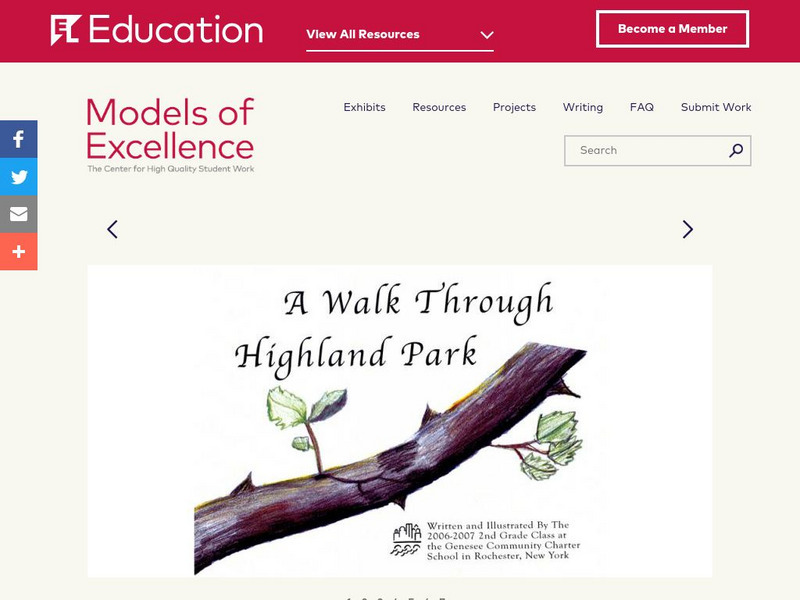
El Education: A Walk Through Highland Park
This book was created by 2nd grade students in Rochester, New York as part of a three-month learning expedition on animals and habitats called, "A Walk Through Highland Park. Students spent time in their local park doing fieldwork making...


![Texas State Historical Association: Texas County Maps [Pdf] Lesson Plan Texas State Historical Association: Texas County Maps [Pdf] Lesson Plan](https://static.lp.lexp.cloud/images/attachment_defaults/resource/large/FPO-knovation.png)


