Hi, what do you want to do?
City University of New York
Earth and Environmental Sciences: Treasure Hunt
Looking for enrichment? Here's an online treasure hunt requiring skill with directions, distance, contour maps, latitude, and longitude. Also supplementing the activity are interactive quizzes on latitude, longitude, and other related...
Science Buddies
Science Buddies: Mapping Troposhperic Ozone Levels Over Time
Ozone in the stratosphere protects the earth by absorbing harmful ultraviolet radiation from the sun. However, when ozone occurs in the troposphere, it is harmful to health. In this project you can use data from EPA monitoring stations...
CK-12 Foundation
Ck 12: Plix: Branches of Earth Science
[Free Registration/Login Required] An interactive concept map that shows how the different branches of earth science. After completing the concept map, students can test their knowledge with a "challenge me" quiz.
Science Buddies
Science Buddies: Making Species Maps
Conservation biologists know which places are important to protect. How nature guides know which animals can be found in which places, are made possible partly by conservation biology. This experiment allows you to discover how maps can...
American Geosciences Institute
American Geosciences Institute: Earth Science Week: Geologic Maps & Earthquakes
This activity is designed to give students practice using a geologic map to assess the likelihood and location of a particular natural hazard- earthquakes- in California.
TeachEngineering
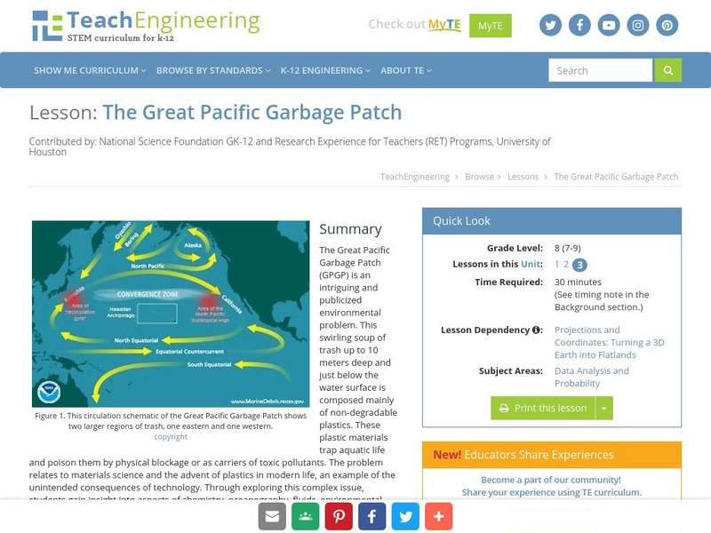
Teach Engineering: The Great Pacific Garbage Patch
The Great Pacific Garbage Patch (GPGP) is an interesting and somewhat publicized environmental problem. A swirling soup of trash up to 10 meters deep and just below the water surface is composed mainly of non-degradable plastics. These...
Other
Canadian Arctic Profiles
Detailed sections providing further information on the Canadian Arctic's exploration, climate, maps, migration, and indigenous people, make this resource useful for many topics. Put together with images, this resource is useful for high...
Science Education Resource Center at Carleton College
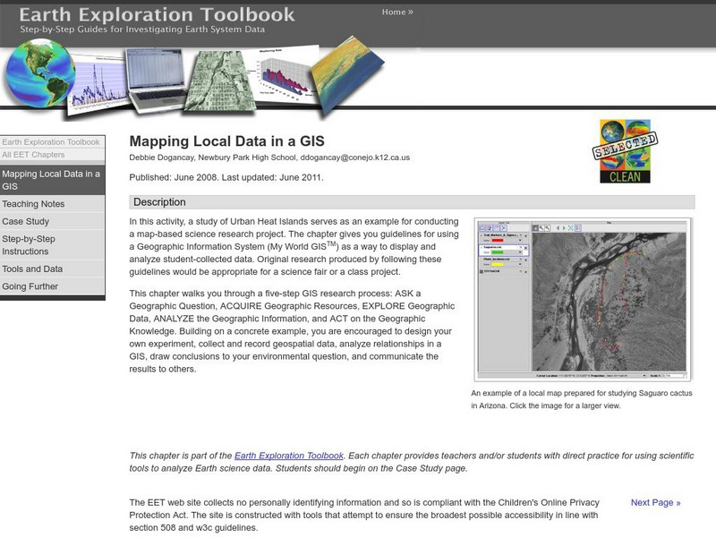
Serc: Mapping Local Data in a Gis
In this activity, young scholars will learn how to conduct a map-based science research project using a Geographic Information System (GIS). They will design an experiment, collect and record geospatial data, analyze geospatial...
Other
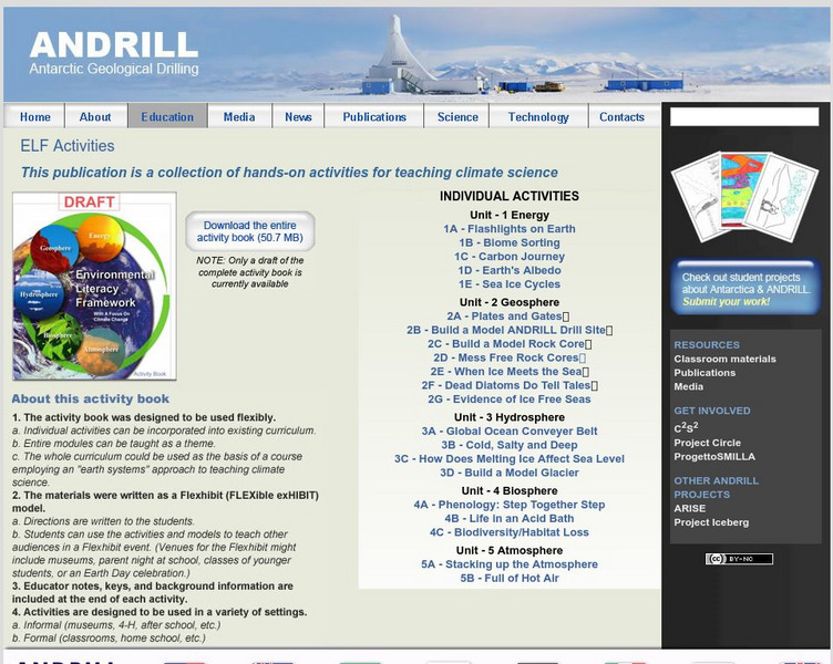
Antarctic Geological Drilling: Environmental Literacy Framework Activities
An impressive collection of lessons on climate science and climate change. The entire book can be downloaded. As well, each lesson has its own page with some combination of background information, PowerPoints, images, maps, glossaries,...
University of Guelph
Canada's Polar Environments
This site is a set of images along with volumes of information make this site a treasure trove. The site has satellite images.
E-learning for Kids
E Learning for Kids: Science: California: How Do Environments Affect Living Things?
Jesse loves animals. She lives in California and is checking out where different animals live. Join along and learn about conservation with her.
E-learning for Kids
E Learning for Kids: Science: Pacific Ocean: Mexico: Why Must We Care for the Environment?
Join Mateo on his trip to Mexico. During his trip, he will teach all about conservation, and contributing to a healthy environment.
E-learning for Kids
E Learning for Kids: Science: Denmark: What Are Natural Resources and Why Are They Important?
Learn about natural resources, both renewable and nonrenewable, and the impact humans have on the natural world.
BSCS Science Learning
Bscs: Stocking Rivers With Trout
This inquiry looks at fish farming and the management of trout by state environmental resource specialists in Colorado. Young scholars will practice working with data generated from a statewide citizen science project called River Watch...
Science Education Resource Center at Carleton College
Serc: Investigating Neighborhood Wetlands
In this Environmental Science and Engineering field activity, students will map a neighborhood wetland and generate various watershed questions. Students will identify engineered structures in or around this wetland and consider how...
BSCS Science Learning
Bscs: Invitations to Inquiry With Data Using Field Scope
Invitations to Inquiry are short instructional activities designed to help middle and high school students work with large data sets. Teachers and students use the interactive FieldScope platform to collect, visualize, and analyze...
US Geological Survey
Usgs: Earth Surface Dynamics (Research Activities)
This site from USGS provides several activities to help understand the interrelationships among earth surface processes, ecological systems, and human activities. Also included are links to new findings and programs concerning Earth...
E-learning for Kids
E Learning for Kids: Nova Zembla: How Does Temperature Affect Plant Growth?
Viktor brought his pet plant on his trip to Nova Zembla. Help him figure out what to do to take care of the plant.
Columbia University
Scientific Background on the Indian Ocean Earthquake and Tsunami
This site features information and related links that can be used by students and scientists to understand the events that led to the December 2004 Indian Ocean tsunami.


