Google
Google Maps: Galapagos Islands
Explore isolated volcanic islands. Charles Darwin's observations and collections of the Galapagos wildlife in 1835 contributed to his theory of evolution by natural selection. [7:08]
Other
Galapagos Islands
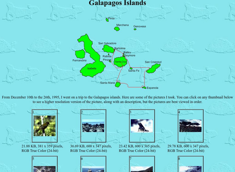
In this personal site find 28 large high-quality pictures of the islands nature - huge turtles, iguanas, exotic birds, sea cats, and of course perfect landscapes. It's an interesting photo cruise to Galapagos islands.
PBS
Pbs Nova: Explore the Galapagos
Using the interactive, multimedia map, see the Islands as they exist today and learn how they inspired Darwin, who pointed to them as the "origin of all my views." You can trace the trip of Darwin and hear from biologists at each spot....
Khan Academy
Khan Academy: Activity: The Voyage of the Beagle
In this activity, you'll learn how to interpret images and maps in order to extract information about Darwin's trip to the Galapagos Islands. Links provided for a gallery of images and a worksheet.
Other
Worldpress.org: Map of South America
This interactive map lets you click on the name of a country in South America to get a more detailed view and facts about its geography, economy, media, and demographics.
Curated OER
Galapagos Islands Guided Tour Take a Virtual Tour of the Galapagos!
Take a yacht to the Galapagos Islands, at least virtually. This site is a travel guide to Galapagos tours and offers an introduction, map, trip planinng tips and guided tours to all of the islands.
Curated OER
Galapagos Islands Tours Fun for the Whole Family!
Take a yacht to the Galapagos Islands, at least virtually. This site is a travel guide to Galapagos tours and offers an introduction, map, trip planinng tips and guided tours to all of the islands.
Curated OER
Discover Galapagos Map...
Take a yacht to the Galapagos Islands, at least virtually. This site is a travel guide to Galapagos tours and offers an introduction, map, trip planinng tips and guided tours to all of the islands.
Adventure Learning Foundation
Adventure Learning Foundation: Ecuador
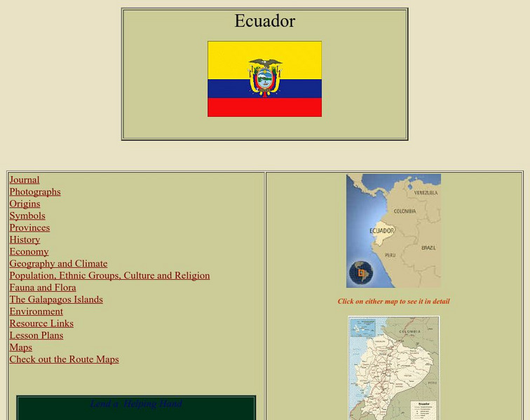
Comprehensive reference tool with an abundance of country specific information about the South American country of Ecuador. Content covered includes photos, symbols, provinces, history, economy, geography, climate, population, culture,...
Other
Voyages: Scientific Circumnavigations: Dampier
Read about the unlikely journals and observations of William Dampier, an English pirate who sailed the Pacific, making landfall in the Philippines, East Indies, and Australia. See his maps, descriptions of the Pacific, and observations...
Curated OER
Discover Santa Fe Island in the Galapagos...
Take a yacht to the Galapagos Islands, at least virtually. This site is a travel guide to Galapagos tours and offers an introduction, map, trip planinng tips and guided tours to all of the islands.
Curated OER
Discover Bartolomew Island in Galapagos...
Take a yacht to the Galapagos Islands, at least virtually. This site is a travel guide to Galapagos tours and offers an introduction, map, trip planinng tips and guided tours to all of the islands.
Curated OER
Follow the Iguana to Hood Island...
Take a yacht to the Galapagos Islands, at least virtually. This site is a travel guide to Galapagos tours and offers an introduction, map, trip planinng tips and guided tours to all of the islands.
Curated OER
Educational Technology Clearinghouse: Maps Etc: Peru and Bolivia, 1906
A map of Peru and Bolivia from 1906 showing the political boundaries at that time. The map shows the capital cities of Lima (Peru) and La Paz (Bolivia), major cities, towns, and ports, railroads, rivers, lakes, mountains and terrain, and...
Curated OER
Educational Technology Clearinghouse: Maps Etc: South America, 1902
A map from 1902 of South America showing the national boundaries at the time. The map shows capitals, major cities, ports, railroads, canals, rivers, and coastal features. Railroads appear as red lines, with important trunk lines shown...
Curated OER
Educational Technology Clearinghouse: Maps Etc: South America, 1920
A map of South America from 1920 showing the political boundaries of the time. The map shows capitals, major cities, ports, rivers, and coastal features. An inset map shows the Galapagos Islands. A key-grid reference to countries and...
Curated OER
Educational Technology Clearinghouse: Maps Etc: Northwestern South America, 1916
A physical and political map of northwestern South America in 1916 showing the boundaries for Columbia, Venezuela, the Guianas, Ecuador, Peru, and Bolivia at the time. The map uses color-contouring to show elevations from sea level to...
Curated OER
Etc: Maps Etc: Political Map of South America, 1922
A map of South America from 1922 showing the political boundaries of the time. The map shows capitals, major cities, ports, rivers, and coastal features. An inset map shows the Galapagos Islands.
Curated OER
Educational Technology Clearinghouse: Maps Etc: South America, 1906
A map of South America from 1906 showing the political boundaries of the time. The map shows capitals, major cities, ports, rivers, and coastal features. An inset map shows the Galapagos Islands.
Curated OER
Educational Technology Clearinghouse: Maps Etc: South America, 1909
A map of South America from 1909 showing the political boundaries of the time. The map shows capitals, major cities, ports, rivers, and coastal features. An inset map shows the Galapagos Islands.
Curated OER
Educational Technology Clearinghouse: Maps Etc: South America, 1919
A map of South America from 1919 showing the political boundaries of the time. The map shows capitals, major cities, ports, rivers, and coastal features. An inset map shows the Galapagos Islands.
Curated OER
Educational Technology Clearinghouse: Maps Etc: South America, 1920
A map of South America from 1920 showing the political boundaries of the time. The map shows capitals, major cities, ports, rivers, terrain, and coastal features. An inset map shows the Galapagos Islands.
Curated OER
Educational Technology Clearinghouse: Maps Etc: South America, 1903
A map from 1903 showing the national boundaries of South America at the time (note the boundaries between Peru and Bolivia, and that Columbia, Ecuador, and Panama are shown as one country). The map shows capitals and major cities, towns,...
Curated OER
Educational Technology Clearinghouse: Maps Etc: South America, 1921
A map from 1921 of South America showing the political boundaries of the time, major cities, railroads, terrain, rivers, and coastal features, and includes an insert map of the Galapagos Islands. " South America, the fourth largest grand...


