National Geographic
National Geographic: Geographic Groceries
This site provides activities and lesson plans for all age levels on mapping.
National Geographic
National Geographic: Mapping Landforms
Students will study landform maps of states and then create a project of their own.
National Geographic
National Geographic: Mapping the Classroom
Learning to use and create maps builds students' spatial thinking skills as well as language skills in the early years. In this lesson, students practice using the language of location and then apply that language when creating a map of...
National Geographic
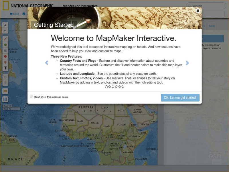
National Geographic: Mapmaker Interactive
Interactive map maker in which students can manipulate world maps adding layers and data with multiple sources of information.
BBC
Bbc: Bitesize Geography: Os Map Skills
A short tutorial on mapping tools and how to read maps. Covers features of maps, symbols, the compass, scale, distance, how height is represented, and grid references. Includes multiple-choice quiz at the end.
Soft Schools
Soft Schools: Geography/map Skills Quiz
In this ten question quiz, students can assess their understanding of key geographical features on maps.
National Endowment for the Humanities
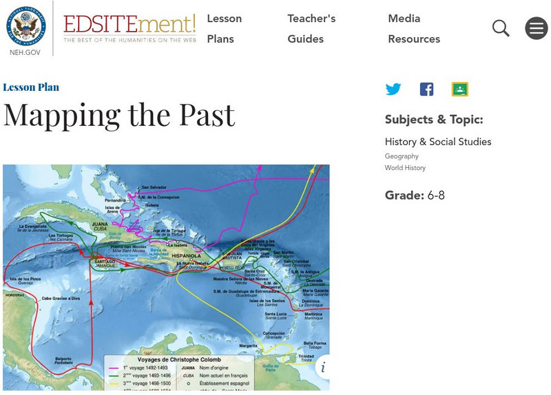
Neh: Edsit Ement: Mapping the Past
This lesson plan requires the students to examine past maps from various cultures in order to learn how the people from that time period interacted and understood their world.
Other
Ordnance Survey: Map Zone: Measuring Distance
Read how to measure distance on maps using straight lines, string, or a ruler in order to strengthen students' mapping skills.
Other
Usps: The Flags of Our Nation: All Over the Map
This activity reinforces students' geographic, directional, and map skills while conveying interesting facts and state trivia.
National Geographic
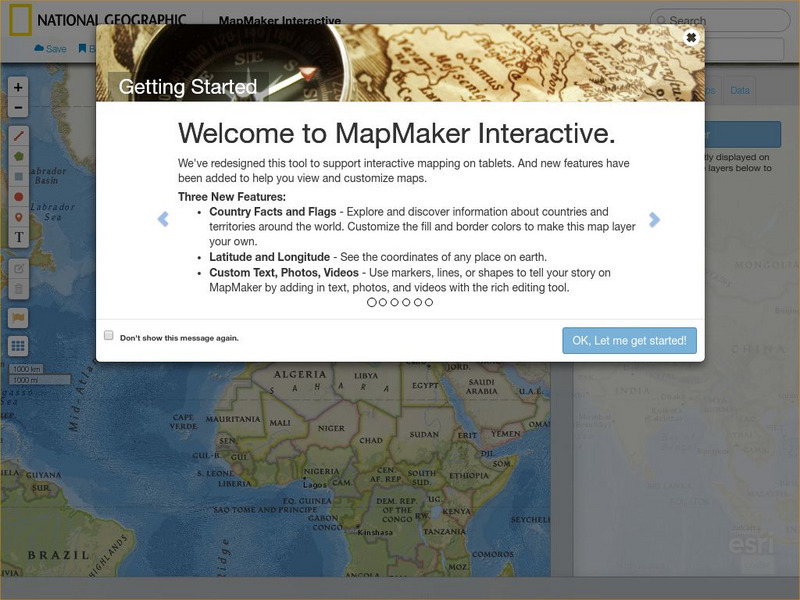
National Geographic: Map Maker Interactive and 1 Page Map Maker
This National Geographic feature allows visitors to create their own world maps complete with capitals, oceans, climate information, satellite view, personalized trail markings and more. Choose from a detailed color map or the second...
C3 Teachers
C3 Teachers: Inquiries: Maps and Geography
A comprehensive learning module on maps that includes three supporting questions accompanied by formative tasks and source materials, followed by a summative performance task. Students learn about map symbols, cardinal directions, and...
Annenberg Foundation
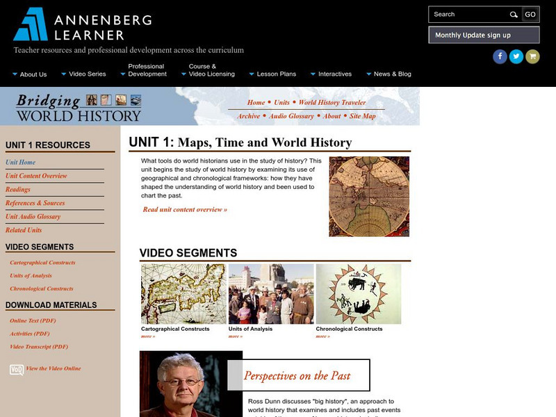
Annenberg Learner: Bridging World History: Maps, Time, and World History
Learn how map projections and chronological constructs are used in the study of world history and help us to understand and interpret the past. Part of a larger site on world history, this unit on maps offers complete reading,...
Other
Ordnance Survey: Map Zone: Relief and Contour Lines
Discover how to read and show height on maps using relief and contour lines.
American Geosciences Institute
American Geosciences Institute: Earth Science Week: Analyzing Hurricanes Using Web and Desktop Gis
In this activity, students research hurricane data to discover their behavior and patterns. They map them across decades to see whether their frequency is increasing. They study Hurricane Andrew and investigate the relationship between...
Other
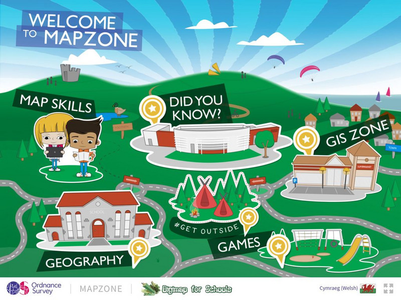
Ordnance Survey: Map Zone
All kinds of fun and interesting ways to learn about maps and acquire mapping skills.
TeachEngineering
Teach Engineering: What Is Gis?
Geographic information systems (GIS) are important technology that allows rapid study and use of spatial information. GIS have become increasingly prevalent in industry and the consumer/internet world in the last 20 years. Historically,...
TeachEngineering
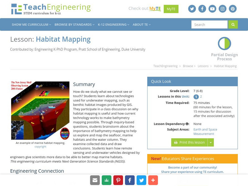
Teach Engineering: Habitat Mapping
The marine environment is unique and requires technologies that can use sound to gather information since there is little light underwater. In this activity, the students will be shown benthic habitat images produced by GIS. These images...
National Geographic
National Geographic: Places in the Park
Modeling the use of maps in and out of school can help students to recognize the value of maps and gain confidence with them. Using maps of places that are familiar to students will strengthen their spatial thinking skills before...
National Geographic
National Geographic: Encyclopedia: Mantle
An in-depth look at the structure and composition of Earth's mantle, with lots of visuals. Covers lithosphere, Mohorovicic discontinuity, asthenosphere, transition zone, lower mantle, the d double-prime region, mantle convection, mantle...
Other
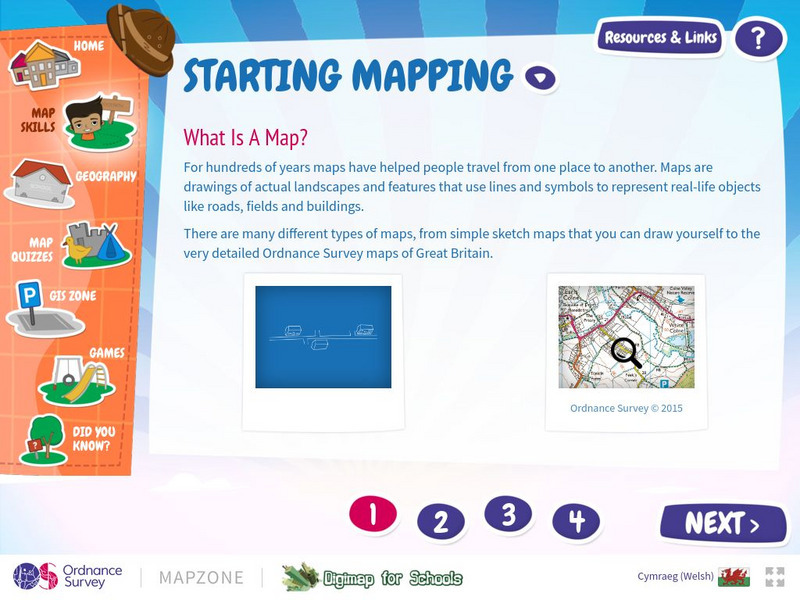
Map Zone: Starting Mapping
Discover the basics of mapping by reading about what maps are, what they provide, how to fold them, and how to use them properly. Content focuses on Great Britain.
National Geographic
National Geographic: Getting Lost
The National Geographic Society provides this lesson on cardinal directions for primary students that employs common classroom materials.
National Geographic
National Geographic: Reading a Resource Map
Students will study maps to recognize where natural resources are found through exercises provided.
National Geographic
National Geographic: To Build an Island
"This lesson gives students a basic overview of the geography of islands. They learn where islands are located throughout the world and will study two very different island groups (the Philippines and the British Isles) to illustrate the...
National Geographic
National Geographic: Geostories: Geography on the Job
Each story point in this Geostory includes images, a short bio, and an interactive mapping tool that allows students to see the regions where geography work takes place.


