BBC
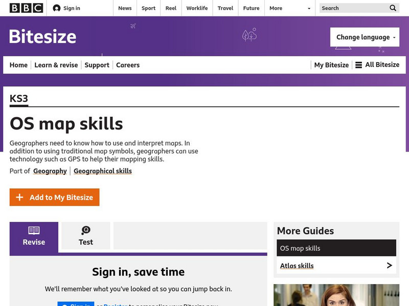
Bbc: Bitesize Geography: Os Map Skills
A short tutorial on mapping tools and how to read maps. Covers features of maps, symbols, the compass, scale, distance, how height is represented, and grid references. Includes multiple-choice quiz at the end.
Ohio Test Prep
Ohio Test Prep: Module 7: Geography
Learning module with Ohio state test preparation material on Geography, including map skills and modifying the environment. Inlcudes video tutorial, interactive review game, and module assessment.
SMART Technologies
Smart: Geography Unit: Maps
This geography unit is designed to follow the 1st Grade geography skills required in Virginia. Students are expected to use cardinal directions, read map keys and understand map symbols, as well as identify our city and capital.
Soft Schools
Soft Schools: Geography/map Skills Quiz
In this ten question quiz, students can assess their understanding of key geographical features on maps.
PBS
Pbs Kids: Where's Buster?: A u.s. Geography Game About the States
Develop map and directional skills as well as skills in following a series of clues to find which U.S. state Buster is in.
City University of New York
Virtual Geology: Maps Home Page: Topic and Quiz Menus
This collection of resources cover map topics and includes quizzes for improving map and globe usage skills.
Other
Jayzeebear.com: The World Online Map Game
Want a fun way to practice map skills and to learn geography? This colorful interactive online game is great for students.
C3 Teachers
C3 Teachers: Inquiries: Maps and Geography
A comprehensive learning module on maps that includes three supporting questions accompanied by formative tasks and source materials, followed by a summative performance task. Students learn about map symbols, cardinal directions, and...
National Geographic
National Geographic: Map Maker Interactive and 1 Page Map Maker
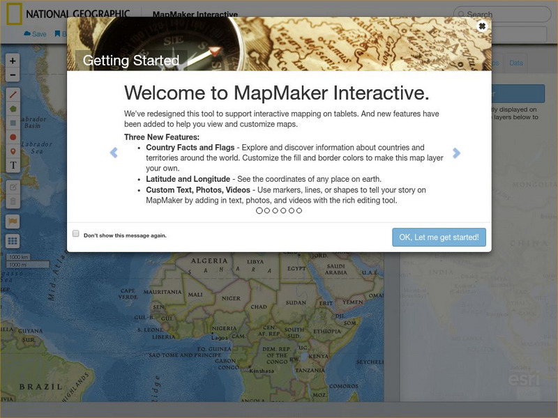
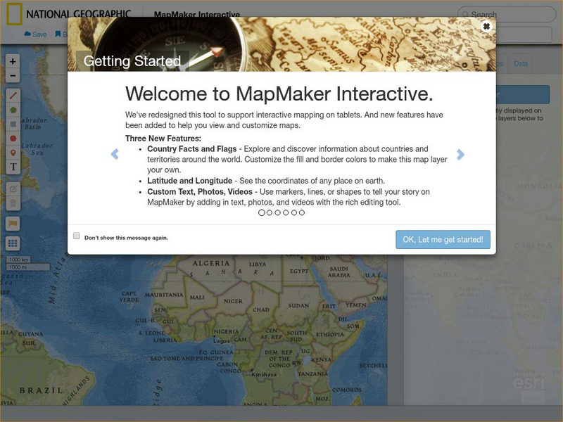
This National Geographic feature allows visitors to create their own world maps complete with capitals, oceans, climate information, satellite view, personalized trail markings and more. Choose from a detailed color map or the second...
Other
21st Century Skills: Geography
This "roadmap" can show how Information and Communication Technology tools can be used to develop and enrich geography content instruction. Examples are given for 4th, 8th and 12th grades.
National Geographic
National Geographic: Mapmaker Interactive
Interactive map maker in which students can manipulate world maps adding layers and data with multiple sources of information.
PBS
Pbs Wisconsin Education: Into the Map
In this learning module, students will explore the world of geography by creating and analyzing maps.
National Geographic
National Geographic: Geographic Groceries
This site provides activities and lesson plans for all age levels on mapping.
Geographyiq
Geography Iq
Detailed geographical information on any country is available at this site. Within the World Map section, you can get facts and figures about each country's geography, demographics, government, political system, flags, historical and...
Other
Physical Geography: Glossary of Terms
Teachers who are looking for a complete course study in physical geography need this site. It is very well organized and colorfully designed. It contains an online glossary, study guides, links, clip art, maps etc.
Science Education Resource Center at Carleton College
Serc: State Map Poster
This is a project where students pick a state, study its landforms and data about its geology, and produce a poster that outlines how the state's geography evolved over time. An example of such a poster is provided on a downloadable...
Other
Sacmeq: Stat Planet Map Maker: Interactive Mapping and Visualization Software
Free application for creating thematic maps and graphs using demographic, educational, environmental, health and socioeconomic indicators from various sources such as the World Health Organization. Includes demos, a video, and other...
Other
Edte.ch: Maths Maps
Maths Maps is a collaborative project where participants use Google maps to choose a location within one of the cities highlighted, then create a Math problem about the site. The problems are marked on the map with various colors...
Middle East Policy Council
Mepc: Teach Mideast: Comparing Maps of the Middle East
A lesson plan to explore the Middle East region via maps and classroom discussion to better understand the Middle East. An Internet connection is needed to utilize the links provided.
Other
Ordnance Survey: Map Zone
All kinds of fun and interesting ways to learn about maps and acquire mapping skills.
Utah Education Network
Uen: Lesson Plan: Map Trap
Lesson to reinforce maps skills and concepts. Students map locations around their school and use world maps to locate major landmarks.
PBS
Pbs: The Roman Empire of the 1st Century: Mapping an Empire
In this lesson, students will compare a map of the Roman Empire in 44 BC with one of the Roman Empire in 116 AD. Using these two maps as a reference, students will use critical reading skills to learn about the expansion of the Roman...
Johns Hopkins University
The Johns Hopkins University: Kansas State Maps
At this site from The Johns Hopkins University Applied Physics Laboratory, you can learn more about the great state of Kansas through its geography. You can learn a lot of information by studying maps. Different types of maps can give...
Johns Hopkins University
The Johns Hopkins University: Maryland State Maps
At this site from Johns Hopkins University Applied Physics Laboratory, you can learn more about the geography of Maryland by studying the maps found on this website. The maps are colorful and easy to understand.
Other popular searches
- Geography Map Skills Scale
- Geography Map Skills Europe
- Usa Geography Map Skills
- Geography Map Skills Us
- Canada Geography Map Skills
- Map Skills Geography Themes
- Geography Map Skills Ohio
- Map Skills Geography
