Hi, what do you want to do?
Google
Where on Google Earth Is Carmen Sandiego? The Crown Jewels Caper
Test your knowledge of geography as you travel around the world with Carmen Sandiego to famous landmarks and interview "witnesses" to recover the stolen loot.
Google
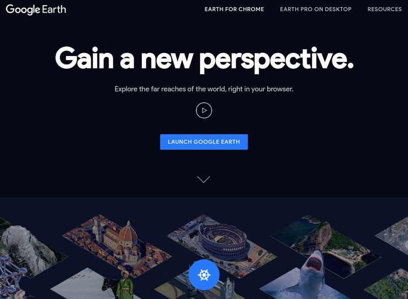
Google Earth Explore, Search and Discover
Find a specific location in the world. View exotic locations, famous buildings, and even your own home! See the terrain and buildings in 3D. Search for restaurants, hotels, parks and schools within a certain area.
Google
Google Earth Explore, Search and Discover
Find a specific location in the world. View exotic locations, famous buildings, your own home! See the terrain and buildings in 3D. Search for restaurants, hotels, parks and schools within a certain area.
TeachEngineering
Teach Engineering: What's Wrong With the Coordinates at the North Pole?
Students complete a self-guided exercise in worksheet format combined with Google Earth that helps them explore practical and observable differences between different projection and coordinate systems. The activity improves their skills...
TeachEngineering
Teach Engineering: Digital Mapping and Geographic Information Systems (Gis)
Geographic information systems (GIS), once used predominantly by experts in cartography and computer programming, have become pervasive in everyday business and consumer use. This unit explores GIS in general as a technology about which...
Other
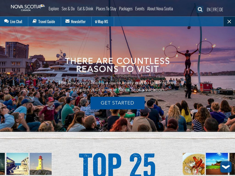
This Is Nova Scotia
This is the home of Nova Scotia's Official Tourism Website. Find much useful information about this beautiful Canadian province including learning about its history, culture, music, climate, and geography. Capture its charm while viewing...
Sophia Learning
Sophia: Urban Models in the Real World
By using Google Earth and city road maps, learners will compare the layout of their city to one of the three North American urban models and see which one is the best fit.
Other
Geo Guessr: Let's Explore the World
Let's Explore the World is an online game where students are shown a place and asked to guess where in the world it can be found! Places depicted allow students to zoom in or out and scroll to look around similar to Google Earth.
Science Education Resource Center at Carleton College
Serc: Arctic Climate Curriculum, Activity 1: Exploring the Arctic
This activity introduces students to the Arctic, including different definitions of the Arctic and exploration of the Arctic environment and Arctic people. Students set out on a virtual exploration of the geography of the Arctic using...
Middle East Policy Council
Middle East Policy Council: Teach Mideast
TeachMideast, a comprehensive instructional portal home to a variety of resources on the Middle East and Islam, considers this region of the world from seven thematic perspectives: stereotypes, geography, history, language, religion,...
Curated OER
Geology.com: Burma Map: Burma Satellite Image
An easy to read political map of Burma. Be sure to scroll down to see a satellite image of Burma from Google Earth. You can also find some facts about Burma at the bottom of the page.
Curated OER
Geology.com: Kazakhstan Map Kazakhstan Satellite Image
Check out this great satellite image of Kazakhstan from Google Earth. Scroll past the informative political map to see the image. There is more information about the country below the satellite map.
Curated OER
Geology.com: Kyrgyzstan Map Kyrgyzstan Satellite Image
Check out this great satellite image of Kyrgyzstan from Google Earth. Scroll past the informative political map to see the image. There is more information about the country below the satellite map.
Curated OER
Geology.com: China Map China Satellite Image
Check out this great satellite image of China from Google Earth. Scroll past the informative political map to see the image. There is more information about the country below the satellite map.
Curated OER
Geology.com: Kuwait Map Kuwait Satellite Image
Check out this great satellite image of Kuwait from Google Earth. Scroll past the informative political map to see the image. There is more information about the country below the satellite map.
Curated OER
Geology.com: Albania Map: Albania Satellite Image
Check out this great satellite image of Albania from Google Earth. Scroll past the informative political map to see the image. There is more information about the country below the satellite map.
Curated OER
Geology.com: Angola Map Angola Satellite Image
Check out this great satellite image of Angola from Google Earth. Scroll past the informative political map to see the image. There is more information about the country below the satellite map.
Curated OER
Geology.com: Lesostho Map Lesotho Satellite Image
Check out this great satellite image of Lesotho from Google Earth. Scroll past the informative political map to see the image. There is more information about the country below the satellite map.
Curated OER
Geology.com: Madagascar Map Madagascar Satellite Image
Check out this great satellite image of Madagascar from Google Earth. Scroll past the informative political map to see the image. There is more information about the country below the satellite map.
Curated OER
Geology.com: Malawi Map Malawi Satellite Image
Check out this great satellite image of Malawi from Google Earth. Scroll past the informative political map to see the image. There is more information about the country below the satellite map.
Curated OER
Geology.com: Namibia Map Namibia Satellite Image
Check out this great satellite image of Namibia from Google Earth. Scroll past the informative political map to see the image. There is more information about the country below the satellite map.
Curated OER
Geology.com: Zambia Map Zambia Satellite Image
Check out this great satellite image of Zambia from Google Earth. Scroll past the informative political map to see the image. There is more information about the country below the satellite map.
Curated OER
Geology.com: Ireland Map Ireland Satellite Image
Check out this great satellite image of Italy from Google Earth. Scroll past the informative political map to see the image. There is more information about the country below the satellite map.
Curated OER
Geology.com: Chile Map Chile Satellite Image
Check out this great satellite image of Chile from Google Earth. Scroll past the informative political map to see the image. There is more information about the country below the satellite map.


