Hi, what do you want to do?
Other
Esri What Is Gis?
This site is provided by ESRI, a leading GIS software developer. It explains how GIS works and ways in which it is used.
American Geosciences Institute
American Geosciences Institute: Earth Science Week: Analyzing Hurricanes Using Web and Desktop Gis
In this activity, students research hurricane data to discover their behavior and patterns. They map them across decades to see whether their frequency is increasing. They study Hurricane Andrew and investigate the relationship between...
University of California
Us Geological Survey: Cartogram Central
The USGS offers detailed information on Types of Cartograms, Congressional Districts, Software for Cartograms, Publications, and a Carto-Gallery.
Science Education Resource Center at Carleton College
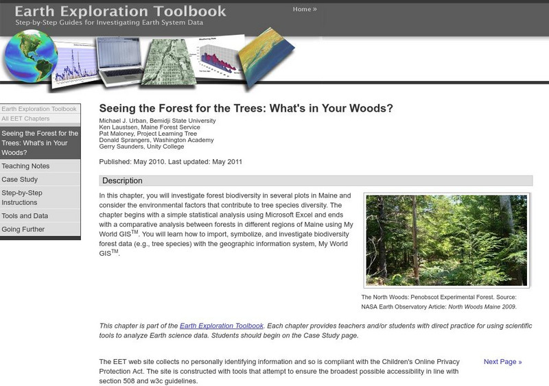
Serc: Seeing the Forest for the Trees: What's in Your Woods?
In this learning module, students will look at the state of forest biodiversity in Maine, and what conditions lead to greater species diversity of trees. They will use geographic data from different regions of Maine to compare forest...


