Hi, what do you want to do?
Science Education Resource Center at Carleton College
Serc: Gis Exploration Using the High Plains Aquifer Databases
Students work with databases and GIS to develop saturated thickness maps. Each database consists of observations made by drillers where they have encountered the High Plains aquifer base and the annual water-level measurements taken in...
Other
Great Lakes Information Network
The Great Lakes Science Center provides research on various topics concerning the Great Lake environment such as fish advisories, contaminants, threatened species, low water levels, and sustainable development of the Lakes.
TeachEngineering
Teach Engineering: Renewable Energy Living Lab
Students become familiar with the online Renewable Energy Living Lab interface and access its real-world solar energy data to evaluate the potential for solar generation in various U.S. locations. They become familiar with where the most...
Science Education Resource Center at Carleton College
Serc: Water Availability
This instructional activity helps students discover the relationship between precipitation, evaporation, and surface runoff data. Using FieldScope, an online GIS created at the National Geographic Society, students will explore data...
US Geological Survey
U.s. Geological Survey
The U.S. Geological Survey reports on the latest news affecting the earth today, as well as providing a wealth of data, reports, and information.
Geographyiq
Geography Iq
Detailed geographical information on any country is available at this site. Within the World Map section, you can get facts and figures about each country's geography, demographics, government, political system, flags, historical and...
TeachEngineering
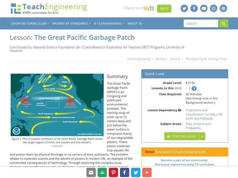
Teach Engineering: The Great Pacific Garbage Patch
The Great Pacific Garbage Patch (GPGP) is an interesting and somewhat publicized environmental problem. A swirling soup of trash up to 10 meters deep and just below the water surface is composed mainly of non-degradable plastics. These...


