Hi, what do you want to do?
Curated OER
Google for Education: Children and Technology: Google Earth
A demo presentation using Google Earth to fly around the world, visiting notable visitor points around the globe.
Other
Jefferson County Schools: Google Earth and Social Studies
This document explains how to use Google Earth in the classroom and offers ideas to get you started.
Other
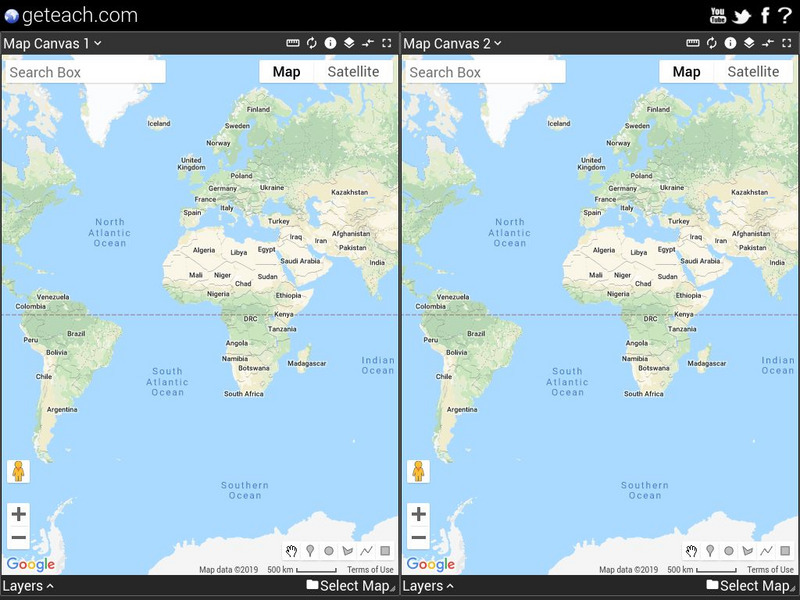
Google Earth Teach: Maps
A free opportunity to allow students and educators to learn and engage using Google Earth. A variety of maps may be selected and multiple layers chosen to display different aspects of each map.
Climate Literacy
Clean: Investigating Weather and Climate With Google Earth
In this activity, students will investigate the change in global temperature by analyzing data on Google Earth for 13 different cities. Students will then interpret the climate patterns for those cities to make conclusion about the...
Google
Google Earth: Hubble Telescope
Get a tour of space with images collected from the Hubble telescope. See nebulae, galaxies, and star clusters on this site. Google Earth must be downloaded to use.
Google
Google Earth: Showcase: u.s. Presidents
Google Earth provides a showcase for which to meet the presidents of the United States throughout its history. Find their birthplaces and other facts about them.
Climate Literacy
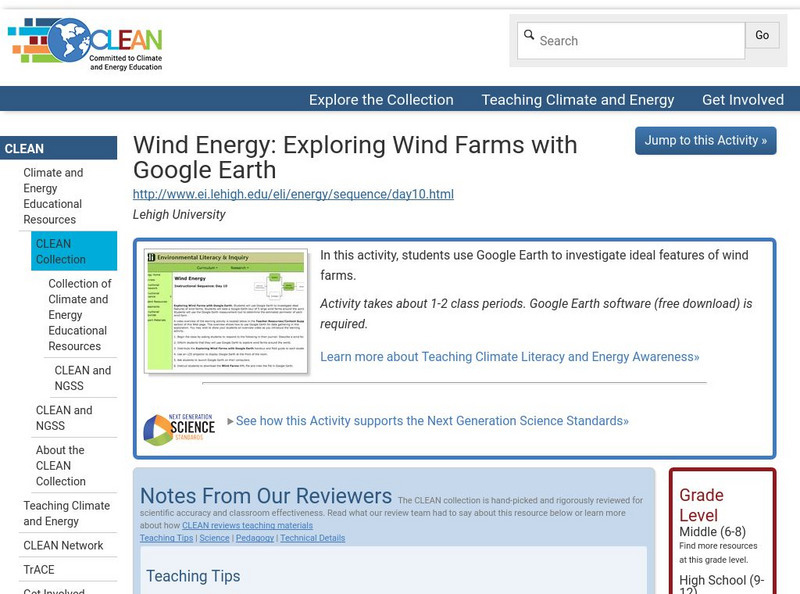
Clean: Wind Energy Using Google Earth
In this activity students will use Google Earth to investigate ideal features of wind farms and they will use the Google Earth measurement tool to determine the estimated perimeter of each wind farm.
Alabama Learning Exchange
Alex: Jet, Set, Go! Travel Google Earth in Ben's Dream
This lesson uses the picture book by Chris Van Allsburg Ben's Dream with Google Earth to highlight ten major landmarks of the world. After reading and discussing Ben's Dream, young scholars "travel" to each location using the free...
Google
Google Earth Blog
The author has extensive experience using GPS and has worked with NASA. In his blog he posts information about the latest uses and applications of Google Earth.
Science Buddies
Science Buddies: Do Large Mammals Align Themselves With Earth's Magnetic Field?
In this science fair project, use Google Earth to determine if large mammals align themselves in respect to the earth's magnetic field. The Science Buddies project ideas are set up consistently beginning with an abstract, objective, and...
Climate Literacy
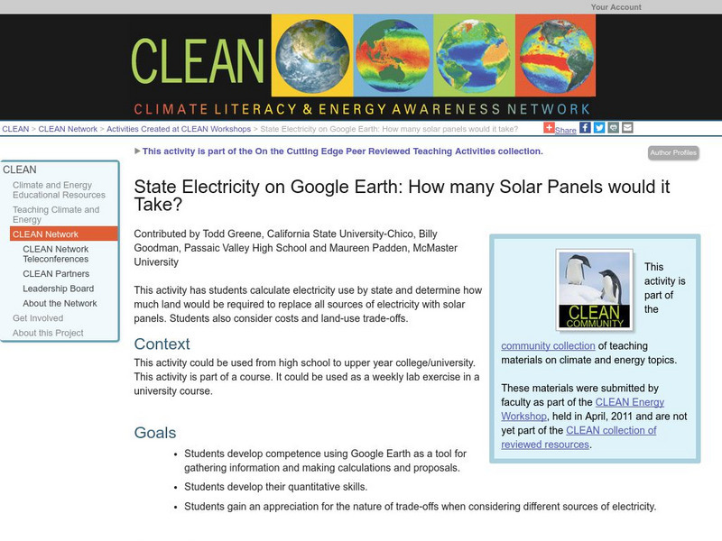
Clean: State Electricity on Google Earth: How Many Solar Panels Would It Take?
This activity addresses the Energy Awareness Principle by having students calculate electricity use by state, and also determine how much land would be required to replace all sources of electricity with solar panels considering costs...
Google
Google Earth Timelapse
See an aerial view of how communities around the globe have changed over time.
Google
Where on Google Earth Is Carmen Sandiego? The Crown Jewels Caper
Test your knowledge of geography as you travel around the world with Carmen Sandiego to famous landmarks and interview "witnesses" to recover the stolen loot.
Google
Google Earth Explore, Search and Discover
Find a specific location in the world. View exotic locations, famous buildings, and even your own home! See the terrain and buildings in 3D. Search for restaurants, hotels, parks and schools within a certain area.
Google
Google Earth Explore, Search and Discover
Find a specific location in the world. View exotic locations, famous buildings, your own home! See the terrain and buildings in 3D. Search for restaurants, hotels, parks and schools within a certain area.
Alabama Learning Exchange
Alex: Run Around the World
Lesson where young scholars utilize Google Maps and Google Earth to create a three mile running course from their houses, addressing any safety concerns that arise (large intersections, availability of sidewalks, etc.). Detailed...
Google
Cs Education at Google: Cs First: Create Your Own Google Logo
A set of three activities where students learn how to use the programming language Scratch to create Google logos, including ones for Valentine's Day and one for Earth Day.
Science Education Resource Center at Carleton College
Serc: Lab 4: A Bird's Eye View: Exploring Your Region
An investigation that is part of a series of lab lessons that expose students to Earth Systems through research, data, and visualizations. In this lab, students will investigate their region by using Google Earth and predicting what...
TeachEngineering
Teach Engineering: Projections and Coordinates: Turning a 3 D Earth Into Flatlands
Projections and coordinates are key advancements in the geographic sciences that allow us to better understand the nature of the Earth and how to describe location. These innovations in describing the Earth are the basis for everything...
Google
Google Earth: Appalachian Voices
This site contains information about a nonprofit organization that is protecting the resources of the central and southern Appalachian region.
Alabama Learning Exchange
Alex: Tech Tours Using Google Earth
Grab your passport and head around the world as K-2 students become reporters using Google Earth and podcasting to learn and share about maps, globes, people and places around the community, state and world. Tools featured include:...
Google
Google for Education: Applying Discrete and Continuous Data in a Map
Using various tools, student will be able to analyze and calculate the amount of urban open space available in their city.
Curated OER
Google for Education: Children and Technology: Google Sketch Up
Using Google SketchUp build a house or upgrade your school building to be the tallest and the most colorful in the world! Then place your buildings on Google Earth and fly over them with Google Earth to see what they look like.
Other popular searches
- Google Earth Landforms
- Google Earth Scavenger Hunt
- Google Earth North Pole
- Google Earth Game
- Social Studies Google Earth
- Geography Google Earth
- Google Earth Lesson Plans
- Google Earth and Regions
- Google Earth Geology
- Google Earth Journalism
- Google Earth Glaciation
- Google Earth Ratings=3


