Hi, what do you want to do?
TeachEngineering
Teach Engineering: Hurricanes
Students learn what causes hurricanes and what engineers do to help protect people from destruction caused by hurricane winds and rain. Research and data collection vessels allow for scientists and engineers to model and predict weather...
Geographypods
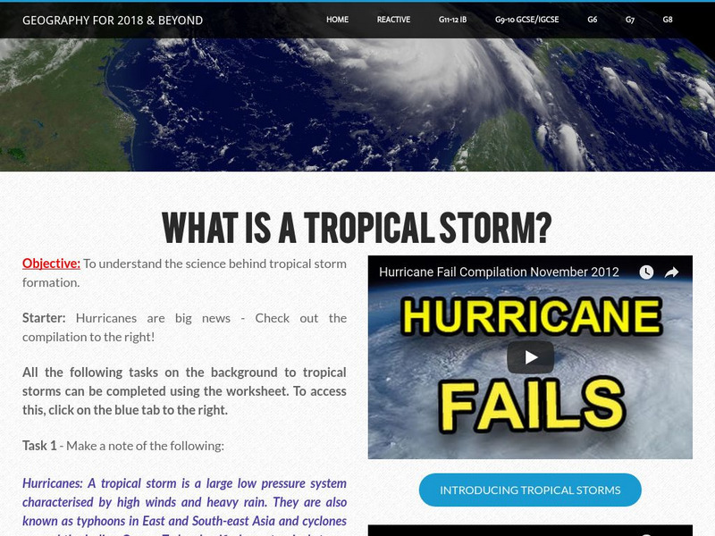
Geographypods: Hazards and Risk Management: Tropical Storms
This learning module looks at tropical storms. It explains the characteristics of a tropical storm, how they form, how they are predicted, and their frequency. Includes student tasks, graphs, videos, and an interactive animation of...
CNN
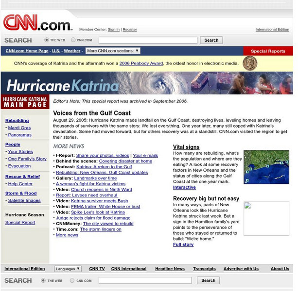
Cnn: Hurricane Katrina
Comprehensive look at Hurricane Katrina. Photos, interactive media, video, news stories, and a lot more can be found on this page.
CNN
Cnn: Hurricane Katrina: Rebuilding
Impressive interactive web page that has a great deal of information on Hurricane Katrina. Information on this site includes graph of population changes, updates on the status of housing, schools, utilities, and the status of New Orleans...
CNN
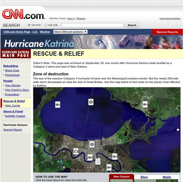
Cnn: Rescue and Relief
Interactive map that takes you to information, news, photos, and videos of Hurricane Katrina. Excellent source.
BBC
Bbc: In Pictures: New Orleans Before and After
Vivid slideshow of photographs of New Orleans during the flooding by Hurricane Katrina and two months later.
Other
Rita and Katrina: How Hurricanes Compare [Pdf]
Interesting map with information comparing Hurricanes Rita and Katrina.
A&E Television
History.com: How Levee Failures Made Hurricane Katrina a Bigger Disaster
By the time Hurricane Katrina made landfall near Buras, Louisiana early on the morning of August 29, 2005, the flooding had already begun. In all, levees and floodwalls in New Orleans and surrounding areas fell in more than 50 locations...
PBS
Nova: How New Orleans Flooded
View some before and after pictures of New Orleans to get an idea of the flood damage caused by Hurricane Katrina.
A&E Television
History.com: Hurricane Katrina: 10 Facts About the Deadly Storm and Its Legacy
Hurricane Katrina, the tropical cyclone that struck the Gulf Coast in August 2005, was the third-strongest hurricane to hit the United States in its history at the time. With maximum sustained winds of 175 mph, the storm killed a total...
University of Texas at Austin
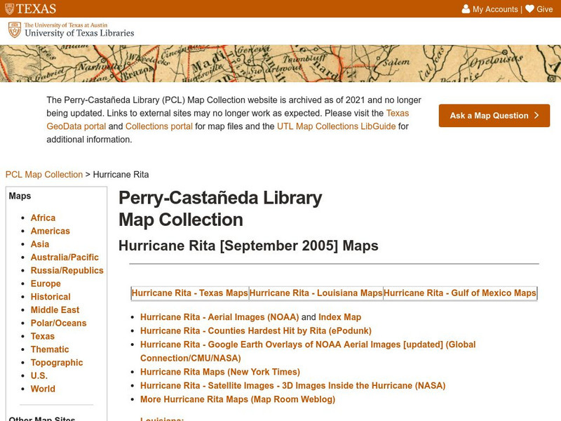
University of Texas: Hurricane Rita Maps
Web page with a large quantity of links to information on Hurricane Rita including maps, aerial images, satellite images, data, and much more.
NASA
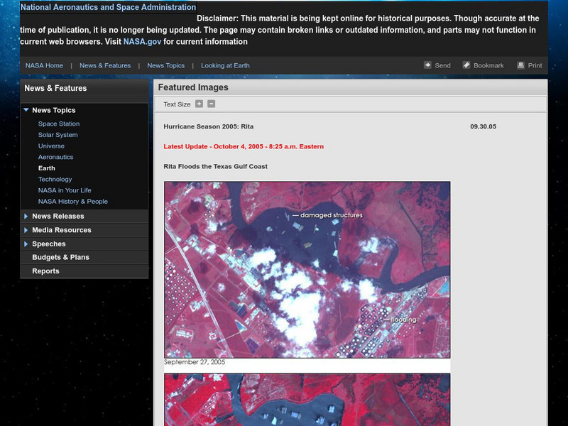
Nasa: Hurricane Season 2005: Rita
Outstanding web site from NASA that details Hurricane Rita and has a plethora of visuals such as interactive maps, aerial photographs, videos, and more. Great source.
CNN
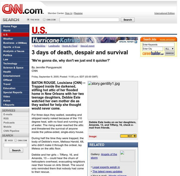
Cnn: 3 Days of Death, Despair and Survival
Captivating September, 2005, article that vividly recounts the story of a family trapped in their attic as they escaped the flood waters brought by Hurricane Katrina.
BBC
Bbc: Hurricane Aid Efforts Gather Pace
The Bush administration receives some criticism for its response to Hurricane Katrina. Also, the rescue and relief effort for impacted by the hurricane is also chronicled. Video, photo slideshow, and a speech by New Orleans Ray Nagin...
The Washington Post
Washington Post: Mapping America's Wicked Weather and Deadly Disasters
Features data collection for natural disasters and maps the trends giving us an idea of where disasters have a tendency to strike.
BBC
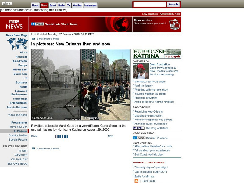
Bbc: In Pictures: New Orleans Then and Now
Photographic slide show that allows you to compare areas of New Orleans in September 2005 with the city a year later in 2006.
NOAA
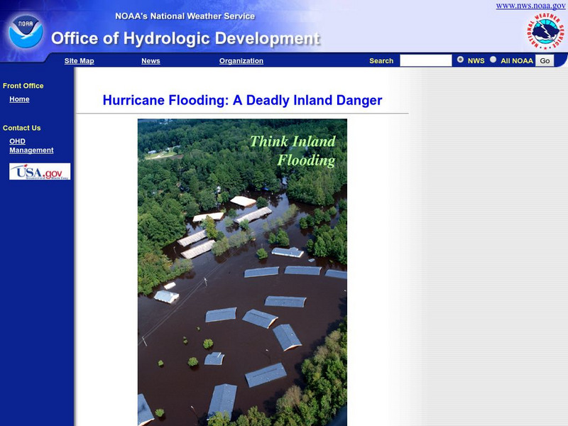
Noaa: Hurricane Flooding: A Deadly Inland Danger
Detailed on-line brochure about hurricanes and the flooding that comes with these dangerous storms. Find photos and information about how to prepare for hurricanes.
PBS
Pbs Learning Media: The Lowdown: After the Fires: North Bay Teachers and Students Talk Disaster Prep Lesson Plan
Wildfires burned whole neighborhoods in Northern California in a matter of minutes. In Texas, Florida and Puerto Rico, hurricane winds and flood waters wreak havoc on buildings, power lines and roads. No community is entirely safe from...
CNN
Cnn: New Orleans Disaster Plan: Get Out of Town
New Orleans Mayor Ray Nagin and Homeland Security announces the new evacuation plan for New Orleans in case of disaster. This interesting article also recaps evacuation problems that plagued New Orleans during Hurricane Katrina, as well...
A&E Television
History.com: Hurricane Katrina
Early in the morning on August 29, 2005, Hurricane Katrina struck the Gulf Coast of the United States. While the storm itself did a great deal of damage, its aftermath was catastrophic Levee breaches led to massive flooding, the federal...
BBC
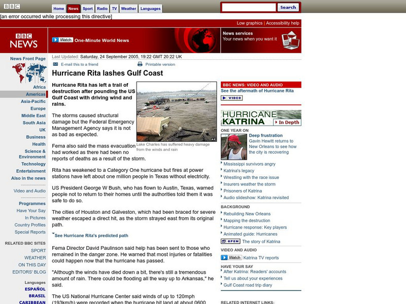
Bbc News: Hurricane Rita Lashes Gulf Coast
In this September, 2005, report, the Gulf Coast is hit by Hurricane Rita. Along with report, is a photographic slideshow, satellite images, and links to other articles.
CNN
Cnn: Katrina Evacuees Weigh Possible Return
In-depth report examining Hurricane Katrina evacuees and discussing the issues they face as they decide to move back to New Orleans. The New Orleans levee system, living conditions, Mayor Nagin's plan to rebuild New Orleans, and other...
BBC
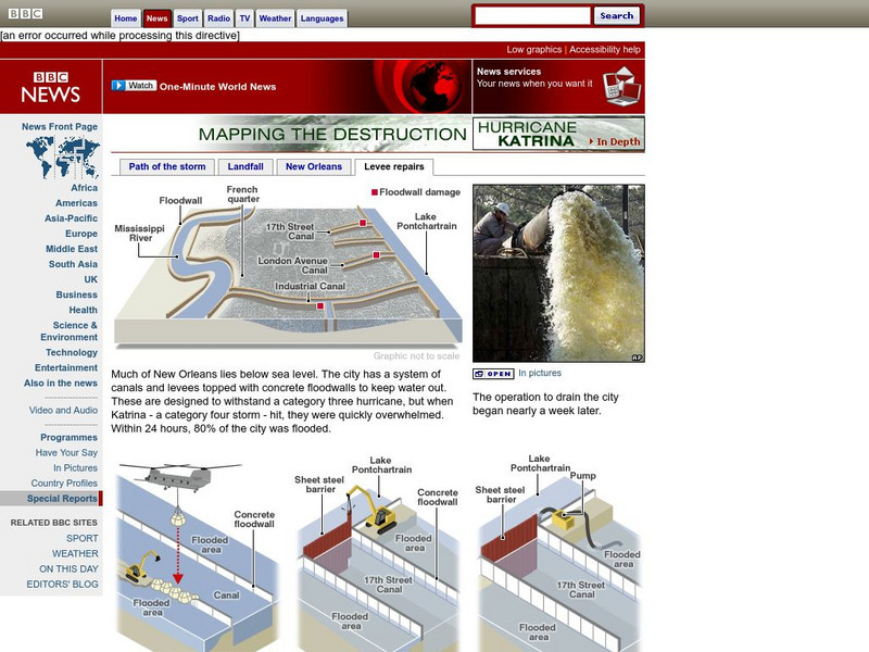
Bbc: Mapping the Destruction: Levee Repair
Graphic and photographic slideshow that shows how the failed New Orleans levees are repaired.
NOAA
Noaa: Century's Top Weather, Water and Climate Events
Discover what experts view as the top weather related events of the 20th century, get background information on them and see photos. Some of the events covered are the Galveston Hurricane of 1900, the 1930s Dust Bowl, Hurricanes Camille...




![Rita and Katrina: How Hurricanes Compare [Pdf] Graphic Rita and Katrina: How Hurricanes Compare [Pdf] Graphic](https://static.lp.lexp.cloud/images/attachment_defaults/resource/large/FPO-knovation.png)
