Curated OER
University of Texas: Pakistan: Agriculture and Land Use
See how Pakistan's agricultural land use follows the Indus River Valley. From the Perry-Castaneda Collection, this map shows the use of land for agricultural purposes and the land that is unfit for agriculture.
Curated OER
University of Texas: Bahrain: Land Use
From the Perry-Castaneda Collection, this 1993 map of Bahrain shows the land use that is so dependent on irrigation.
Curated OER
U. Of Texas: Sri Lanka: Ethnic Communities; Population Density; Land Use
Three great maps of Sri Lanka on one page. You can see the ethnic groups and religions on one map, the population density of the country on another, and the land use and economic activity on the third. From the Perry-Castaneda Collection
Curated OER
University of Texas: Map: Uae: Land Use
Discover from this map that most of UAE is wasteland with a few oases scattered across the desert. From the Perry Castaneda collection.
University of Texas at Austin
University of Texas: Qatar: 7 Maps and Charts
This is a nice set of maps of Qatar from the Perry-Castandeda Collection which includes a map of the country, population map, map of economic activity, among others.
Other
Canada: Thematic Maps
At this site find examples of thematic maps from the Canadian census. "A thematic map shows the spatial distribution of one or more specific data themes for standard geographic areas."
Library of Virginia
Virginia Memory: Blank Space: Mapping the Unknown
How did early maps show the mapmakers' perception of the known world? Early mapmakers used maps drawn from coastal explorations, land travels, and even information heard word of mouth from American Indians or from colonists or traders....
The Newberry Library
Newberry: Environmental History: Map 7: Distribution of Woodland in u.s., 1873
Lesson plans for K-12 using maps that show the distribution of wooded land in 1873. Students examine the impact of humans on the environment.
Other
Bscs: Earth's Changing Surface Lesson 2: Landform Detectives
Using relief maps, students will learn that landforms can be different from one place to another. Included are a minute-by-minute lesson plan, activities, and teacher discussion points and questions.
Library of Congress
Loc: Language of the Land
Language of the Land uses the metaphor of a journey to tour the rich literary heritage of the US through maps, the words of authors, images of characters, and photographs.
University of Texas at Austin
University of Texas: Perry Castaneda Library: Brazil Maps
Presents a great collection of maps all having to do with Brazil. There are country maps, city maps, and thematic maps that cover topics such as politics, geography, economy, land use, population, climate, and more.
Geographypods
Geographypods: Theme 1: Population and Settlement
A rich collection of highly engaging learning modules on topics related to population and settlement. Covers six main areas - population growth, population change, population migration, land use, settlement characteristics and patterns,...
The Newberry Library
Newberry: Settlement and Migration: Map 6: Indian Removal, Oklahoma Land Rush
Lessons for all ages on the European quest for land and the displacement of Native Americans during the late 1800s. Lessons use maps and supplemental material.
Other
Map Fight
A useful tool that facilitates comparison of any two countries to find out the land size ratio between them.
University of Alberta
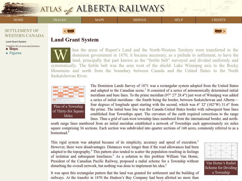
Atlas of Alberta Railways: Land Grant System
Presented by the University of Alberta, this resource contains information on the land grant system in the Alberta region. Information on how the Canadian government used land grants in the late 19th century to spur population growth in...
National Council of Teachers of Mathematics
Nctm: Illuminations: State Data Map
Data can be displayed in a variety of ways. This interactive map of the United States shows data by degrees of color. Choose to display data such as: land area, population, population density, gas use, and much more.
US Department of Agriculture
Nrcs: Helping People Understand Soils
Comprehensive resource for the study of soil regions. Special information for teachers and students include soil facts, resources, state soils, urban soil issues, state of the land, and more. Be sure to click on their special...
PBS
Pbs Learning Media: Decolonizing the Map: Creating the Indigenous Mapping Collective
For many Indigenous communities, mapping plays a large role in reclaiming their lands. Mapping is not new to Indigenous peoples, in fact, some of the world's earliest maps can be seen in cave paintings or heard in the stories that have...
American Geosciences Institute
American Geosciences Institute: Earth Science Week: Geologic Maps and Groundwater
This activity is designed to give students practice using a geologic map to understand how water shapes the land- and is stored within the land- in part of the Grand Canyon.
PBS
Pbs Learning Media: Plum's Island Explorer: Land and Water
Navigate around the island to explore various landforms and water bodies in this interactive game from PLUM LANDING. Journey around the island and pick up trash to unlock information - including videos and ground-level and aerial images...
BSCS Science Learning
Bscs: Frog Eat Frog World
Using maps and graphs of large data sets collected in FrogWatch, middle schoolers will determine the range, preferred land cover, and proximity to water of the American bullfrog to figure out the bullfrog's requirements for food, water,...
Climate Literacy
Clean: Earth's Albedo
This engaging activity introduces students to the concept of albedo and how it relates to Earth's energy balance. They measure the albedo using maps, data tables, and a shaker filled with popcorn kernels. Then, they estimate the Earth's...
Other
The Aboriginal Mapping Network
Need a map pertaining to a First Nations issue, land claim, or land use? Check out the vast collection of maps organized by the Aboriginal Mapping Network. Thematic maps include information on historic treaty to urban Aboriginals.
PBS
Pbs Teachers: Water Use: Tragedy in the Owens River Valley
Map the geographical area of a watershed, evaluate watershed use and describe land use practices of the people within one. Investigate the events surrounding the war over the Owens River in California at the turn of the 20th century.


