Science Buddies
Science Buddies: Making Species Maps
Conservation biologists know which places are important to protect. How nature guides know which animals can be found in which places, are made possible partly by conservation biology. This experiment allows you to discover how maps can...
Rice University
Rice University: Cynthia Lanius: Mathematics of Cartography: Projections
Understanding map projections is an important map-reading skill. Features graphics and links to examples of many different projections and an activity on making a Mercator projection.
University of Minnesota
University of Minnesota: Immigration: Projecting Maps, Making Representations
This resource compares four different world maps. The goals are to encourage critical thinking about maps as representations and to show how maps influence the ways in which one conceptualizes the world.
Other
Edte.ch: Maths Maps
Maths Maps is a collaborative project where participants use Google maps to choose a location within one of the cities highlighted, then create a Math problem about the site. The problems are marked on the map with various colors...
Science Buddies
Science Buddies: Using Weather Balloon Data to Map Atmospheric Temperature
Snow-capped mountains make a picturesque scene, especially in summertime when the peaks are in such contrast to the warmth below. This project shows you a way to see how temperature changes with altitude using data collected twice daily...
Science Buddies
Science Buddies: Science Careers: Mapping Technician
Mapping technicians, also called surveying technicians, as their name suggests, use many different tools to make maps of many kinds. This Science Buddies site lays out the requirements needed to become a mapping technician, as well as...
TeachEngineering
Teach Engineering: Digital Mapping and Geographic Information Systems (Gis)
Geographic information systems (GIS), once used predominantly by experts in cartography and computer programming, have become pervasive in everyday business and consumer use. This unit explores GIS in general as a technology about which...
Other
Richard Phillips: Making Maps Easy to Read
This geography research project surveys factors that make maps easy to read and to use.
Rice University
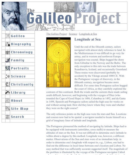
Galileo Project: Longitude at Sea
This site from the Galileo Project of the Rice University provides an in-depth look at the historic problems figuring out longitude. Links are provided throughout this article along with pictures, making this a great site to check out.
University of California
Us Geological Survey: Cartogram Central
The USGS offers detailed information on Types of Cartograms, Congressional Districts, Software for Cartograms, Publications, and a Carto-Gallery.
Geographypods
Geographypods: Theme 1: Population and Settlement
A rich collection of highly engaging learning modules on topics related to population and settlement. Covers six main areas - population growth, population change, population migration, land use, settlement characteristics and patterns,...
Science Buddies
Science Buddies: Watch Out! That Wild Animal Might Be Rabid!
The word rabid often makes people think of an animal that is extremely violent, crazy, and maybe even foaming at the mouth. But not all animals infected with the rabies disease fit that description. Nevertheless, it is important to avoid...
EL Education
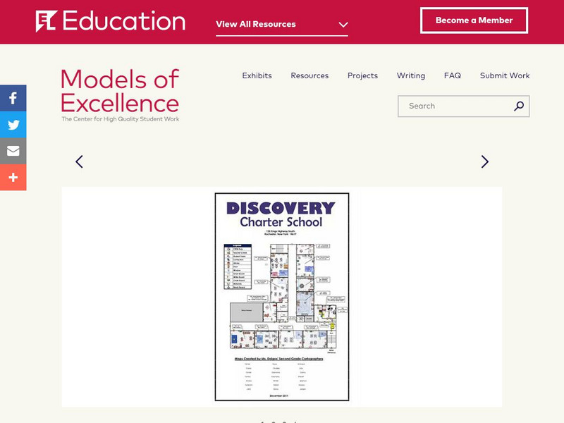
El Education: Discovery Charter School Map
Second grade students at Discovery Charter School created this map as the final product for an expedition titled "Discovering Discovery." This expedition was an opportunity for students to explore maps and map-making through the lens of...
Cynthia J. O'Hora
Mrs. O's House: Geo Web: Be a Cyber Cartographer
Take a close look at the resources provided and consider how students can put their school and/or community on the map. Discover cartography, virtual mapping, and points of interest in town or of the school.
Science Buddies
Science Buddies: Dry Spells, Wet Spells: How Common Are They?
Here's a project that looks at what the weather was like for over a hundred years. The goal of the project is to compare long-term precipitation patterns in different regions of the country. You will work with historical climate data,...
Science Buddies
Science Buddies: Molecular Scissors
Ever used a pair of molecular scissors? Restriction enzymes are molecular scissors that cut DNA into pieces. Find out which enzymes will cut, and where by making a restriction map. Then you can figure out what will happen if you change...
Alabama Learning Exchange
Alex: Land Surveying Project
This project resulted from of the collaboration of a computer aided drafting teacher, Chris Bond, and a math teacher, Lee Cable, (Hewitt-Trussville High School) to provide higher math expectations in CT and real life application in...
EL Education
El Education: Sapling Rise a Micro Field Guide
Students create a field guide for a three foot by three foot plot of ground. Students name their plots, graph temperature, create an inventory and table to record observations, make illustrations, and write informational text based on...
Science Buddies
Science Buddies: Career Profile:cartographers and Photogrammetrists
Cartographers and photogrammetrists--big words for careers in mapping, both 2-D and 3-D. Watch interviews with people who use their expertise in geographic information to help make policy decisions. This Science Buddies site lays out the...
National Geographic Kids
National Geographic Kids: Animals: Tigers
"The scientific name for the tiger is 'Panthera Tigris.'" This site includes video and audio clips, fun facts and a map. Other web links are available, which makes this a good site for research projects.
TeachEngineering
Teach Engineering: Air Pollution
Students are introduced to the concept of air quality by investigating the composition, properties, atmospheric layers and everyday importance of air. They explore the sources and effects of visible and invisible air pollution. By...
Curated OER
Educational Technology Clearinghouse: Maps Etc: South China, 1971
"South China comprises the drainage basins of the middle and lower Yangtze River, the basin of the His Chiang (West River) in Kwangtung and Kwangsi; and the mountainous coastal provinces of Fukien and Chekiang. The division between the...
Writing Fix
Writing Fix: An I Pod Inspired Writing Lesson: Oh, the Places You'll Go!
After listening to Van Morrison's "Days Like This" and Lee Ann Womack's "I Hope You Dance " and reading Dr. Seuss' Oh, the Places You'll Go! students will consider their choices in life. After asking students, "Who decides your lives are...
McGraw Hill
Glencoe Biology: The Human Genome: Self Check Quiz
Take this quick self-checking, multiple-choice question quiz over the human genome.
