Other
Richard Phillips: Making Maps Easy to Read
This geography research project surveys factors that make maps easy to read and to use.
Science Buddies
Science Buddies: Science Careers: Mapping Technician
Mapping technicians, also called surveying technicians, as their name suggests, use many different tools to make maps of many kinds. This Science Buddies site lays out the requirements needed to become a mapping technician, as well as...
Other
Reading Quest: Making Sense of Social Studies
Teaching students to read well in areas other than language arts requires teaching and reinforcing the kinds of reading strategies taught here. There are 27 strategies, ranging from brainstorming to word mapping. The site includes PDF...
Library of Congress
Loc: Local History: Mapping My Spot
Students often think of history as tattered documents, worn photographs, and musty books, all of which have little or no relevance to their lives. Maps provide an often-overlooked source of information and a new and compelling...
Other
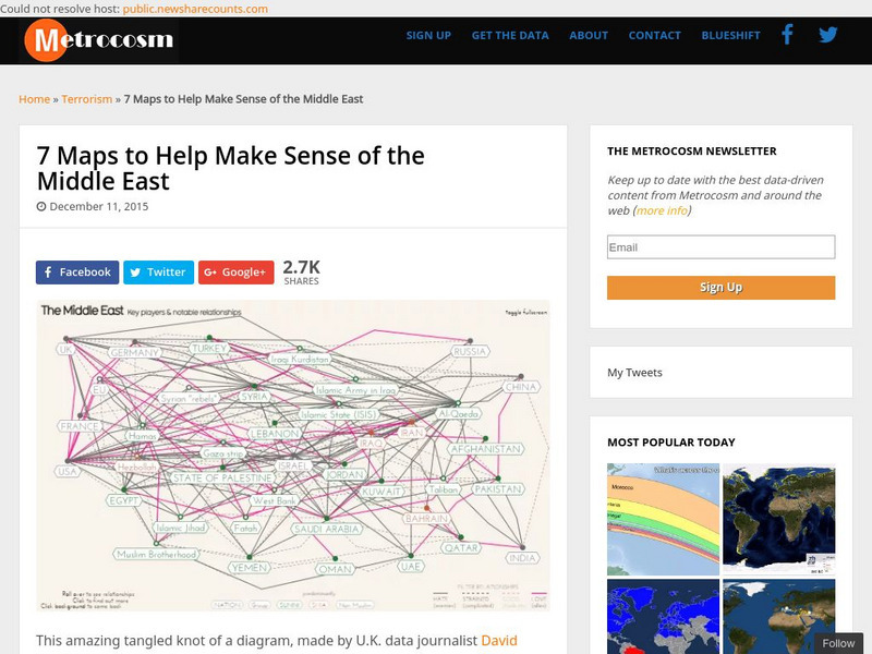
Metrocosm: 7 Maps to Help Make Sense of the Middle East
Keep up to date with the everchanging Middle East Region. The Middle East has been a tangled web of alliances since WWI. These maps attempt to make sense out of the this often confusing area. The 7 maps show the relationships among...
Other
Edte.ch: Maths Maps
Maths Maps is a collaborative project where participants use Google maps to choose a location within one of the cities highlighted, then create a Math problem about the site. The problems are marked on the map with various colors...
Library of Congress
Loc: Zoom Into Maps
What can we learn from maps? How can we use maps? How can we best read maps? Find out the answers to these with detailed explanations of making the most of maps presented to us. Examples of historical, pictoral, miratory, etc. types of...
Science Buddies
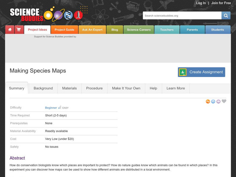
Science Buddies: Making Species Maps
Conservation biologists know which places are important to protect. How nature guides know which animals can be found in which places, are made possible partly by conservation biology. This experiment allows you to discover how maps can...
Curated OER
University of Texas: Mauritius: Political Map
This map of Mauritius from the Perry-Castaneda Collection shows the island of Mauritius in isolation as well as a map inset showing its location east of the mainland of Africa and an inset of one of the smaller islands making up the...
Curated OER
University of Texas: Bahamas: Political Map
Here you will find a map showing the many islands that make up the Bahamas. Click on the map to enlarge it. The several islands are named and the major cities are identified. From the Perry-Castaneda collection.
Curated OER
University of Texas: Vanuatu: Relief Map
A relief map of the several islands that make up the country of Vanuatu. An inset shows the islands in relation to others in the South Pacific. Clicking on the map will enlarge it. From the Perry Castaneda Collection.
Curated OER
University of Texas: New Caledonia: Relief Map
A relief map of the islands that make up New Caledonia. You can clearly see the mountainous terrain of the main island. You can also see the highways on the islands. Clicking on the map will enlarge it. From the Perry Castaneda Collection.
Curated OER
University of Texas: Nepal: Political Map
This political map of Nepal shows the many zones that make up the country. You can also find the major cities, roadways, and major trails that traverse the country. From the Perry-Castaneda Collection.
Curated OER
University of Texas: Philippines: Relief Map
This relief map of the Philippines from the Perry Castaneda Collection shows clearly the large number of islands that make up this country. An inset shows the Manila area.
Curated OER
University of Texas: Philippines: Political Map
See on this political map of the Philippines the series of islands that make up the archipelago. You can follow the Pan-Philippine Highway from the north at Laoag to the south at Zamboanga. From the Perry-Castaneada Collection.
National Geographic
National Geographic: Mapping Ocean Currents
An unfortunate spill of 92,000 rubber ducks into the ocean in 1992 elicited invaluable information about global ocean currents as scientists tracked their journeys around the world. In this lesson, students first learn about the Ocean...
PBS
Kqed: Quest: Education: Media Making Toolkit [For the Science Classroom]
A comprehensive guide to integrating media-making into a science classroom provides an engaging way for students to demonstrate knowledge and build 21st-century learning skills. Supplies tools for teachers to make science-based media,...
Choices Program, Brown University
Choices: u.s. Policy in the Middle East: Analyzing Political Cartoons
Multi-media resources including video, PowerPoint, articles and maps from which students explore current issues in the Middle East and their relation to U.S. policy and interpret political cartoons on Middle East politics.
CK-12 Foundation
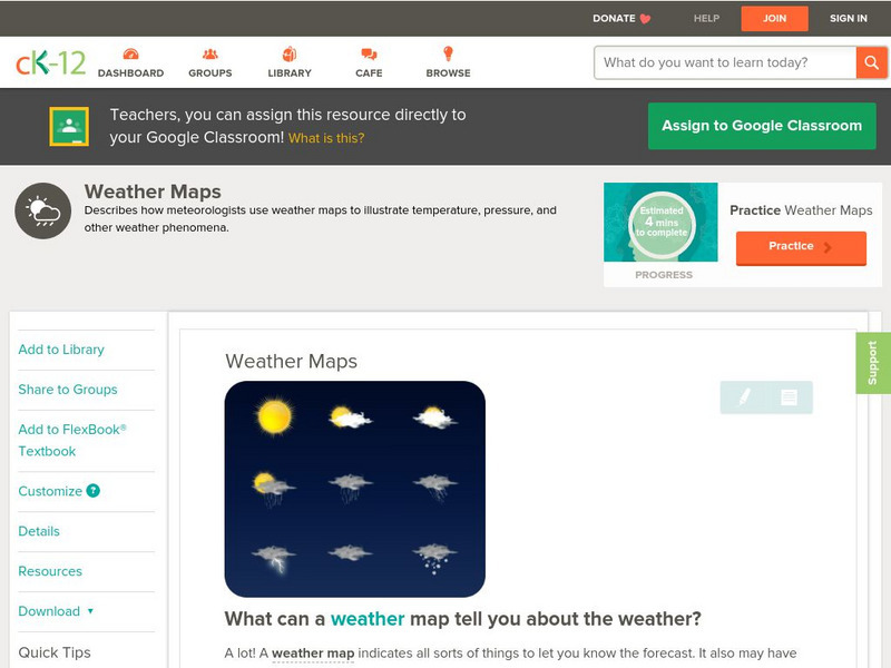
Ck 12: Earth Science: Weather Maps
[Free Registration/Login may be required to access all resource tools.] How meteorologists create and read weather maps.
Harvard University
Harvard University: Maps and Mapping
This site is provided for by Harvard University. Students follow a map on a scavenger hunt, create a map of their classroom and their town, learn how to read topographic maps, and discover latitude and longitude in these inquiry activities.
BBC
Bbc: Bitesize Geography: Os Map Skills
A short tutorial on mapping tools and how to read maps. Covers features of maps, symbols, the compass, scale, distance, how height is represented, and grid references. Includes multiple-choice quiz at the end.
Other popular searches
- Making Maps Geography
- Making Maps and Research
- Making Maps Using Technology
- Making Maps of History
- China, Making Maps
- Making Maps of Community
- Reading Making Maps
- Neigborhoods and Making Maps
- Making Maps Lesson Plans
- Making Maps Usign Technology
- China Making Maps
- Neighborhoods and Making Maps




![Kqed: Quest: Education: Media Making Toolkit [For the Science Classroom] Website Kqed: Quest: Education: Media Making Toolkit [For the Science Classroom] Website](https://content.lessonplanet.com/knovation/original/245823-e730f67262f9a7f20ea974f3178b54ff.jpg?1661496315)
![Kqed: Quest: Education: Media Making Toolkit [For the Science Classroom] Website Kqed: Quest: Education: Media Making Toolkit [For the Science Classroom] Website](https://content.lessonplanet.com/knovation/original/246841-d486db05b9554a6d83889d2481c68ebc.jpg?1661803394)

