Other
Richard Phillips: Making Maps Easy to Read
This geography research project surveys factors that make maps easy to read and to use.
National Geographic
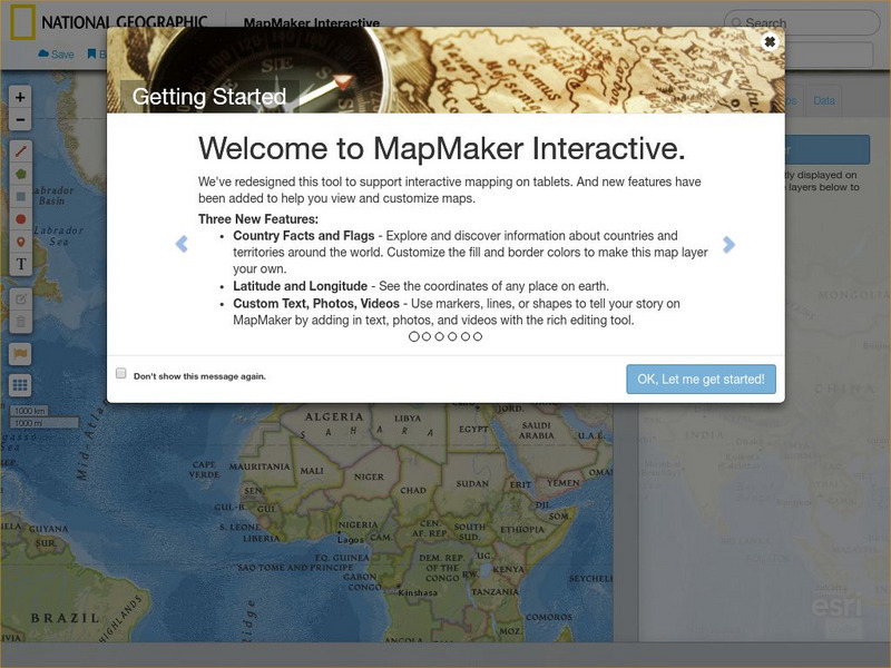
National Geographic: Map Maker Interactive and 1 Page Map Maker
This National Geographic feature allows visitors to create their own world maps complete with capitals, oceans, climate information, satellite view, personalized trail markings and more. Choose from a detailed color map or the second...
Other
Edte.ch: Maths Maps
Maths Maps is a collaborative project where participants use Google maps to choose a location within one of the cities highlighted, then create a Math problem about the site. The problems are marked on the map with various colors...
NASA
Nasa: World Map Puzzle
This site from the National Aeornautics and Space Administration provides an interesting activity with a relief map and its correlation with space. "Wouldn't it be fun to make your own miniature world, complete with mountains, valleys,...
BBC
Bbc: Bitesize Geography: Os Map Skills
A short tutorial on mapping tools and how to read maps. Covers features of maps, symbols, the compass, scale, distance, how height is represented, and grid references. Includes multiple-choice quiz at the end.
National Geographic
National Geographic: My Wonderful World: World Wall Maps (Pdf)
Make your own full color or black and white mosaic wall map on your own printer. World maps, continents, Asian regions, and oceans are available for downloading, printing, and assembling.
TeachEngineering
Teach Engineering: Digital Mapping and Geographic Information Systems (Gis)
Geographic information systems (GIS), once used predominantly by experts in cartography and computer programming, have become pervasive in everyday business and consumer use. This unit explores GIS in general as a technology about which...
University of Minnesota
University of Minnesota: Immigration: Projecting Maps, Making Representations
This resource compares four different world maps. The goals are to encourage critical thinking about maps as representations and to show how maps influence the ways in which one conceptualizes the world.
Johns Hopkins University
The Johns Hopkins University: Iowa State Maps
Find out more about the state of Iowa through maps at this site from The Johns Hopkins University Applied Physics Laboratory. This site has several map choices for you to look at.
Other
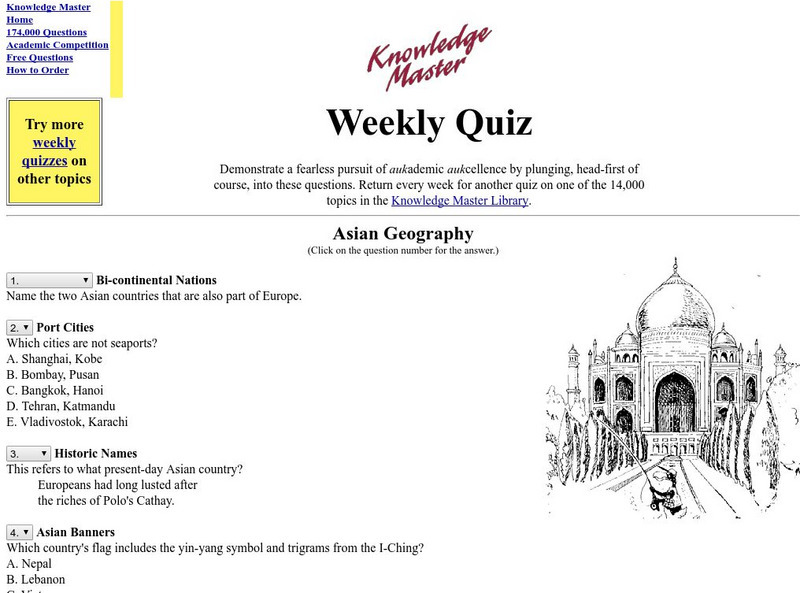
Knowledge Master Weekly Quiz: Asian Geography
This site offers thirty multiple-choice quiz questions about the geography of Asia. Answers are shown at bottom.
Library of Virginia
Virginia Memory: My County Tis of Thee: Counties of Virginia
A lesson in how to use historical maps to identify Virginia's counties and learn the political geography of Virginia.
Annenberg Foundation
Annenberg Learner: Teaching Geography: European Union
Explore the European region and consider what makes a successful city and how effective is supranationalism? A video features Berlin and Amsterdam for urban development and then looks into the concept of supranationalism in the European...
HotChalk
Hot Chalk: Lesson Plans Page: Edible Geography
Students learn directional geography and the physical geography of a state by making an edible map using different objects to display the different geographical landmarks.
Other
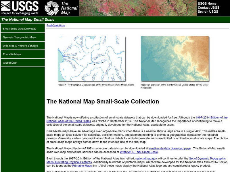
National Atlas
This site is excellent for mapping. You can create ANY kind of map you need. Select all kinds of layers: agriculture, biology, boundaries, climate, history, and more, and then select the geography. It does take some time to figure out...
Other
Monroe County Women's Disability Network: Maps & Globes: Water Forms
This site is provided for by the Monroe County Women's Disability Network. Some basic information about water on our planet and the various water forms that make up three-quarters of the earth's surface. Includes some simple quizzes to...
Cynthia J. O'Hora
Mrs. O's House: Geo Web: Be a Cyber Cartographer
Take a close look at the resources provided and consider how students can put their school and/or community on the map. Discover cartography, virtual mapping, and points of interest in town or of the school.
University of Colorado
University of Colorado: Error, Accuracy, and Precision Exam
A university exam on the topics of error, accuracy, and precision. Includes essay, short answer, and multiple-choice. Links to lecture and discussion notes. Answers to short essay and multiple-choice are provided.
Other
Canadian Arctic Profiles
Detailed sections providing further information on the Canadian Arctic's exploration, climate, maps, migration, and indigenous people, make this resource useful for many topics. Put together with images, this resource is useful for high...
National Library of France
National Library of France: Heaven and Earth
Learn how art through the ages has been influenced by the Earth and the heavens. See paintings that attempted to explain the Earth's creation from a scientific standpoint, sacred architecture that provided a place to worship the heavens,...
National Geographic
National Geographic: Observing Physical and Cultural Landscapes
In this lesson, students examine photographs of Europe as they learn to distinguish between physical and cultural characteristics of a landscape, and make observations and inferences about the places and people in the photographs. They...
Other
Space Hopper: Where Is This?
Study the place shown in the photograph. Where is it on the big map? Try interacting with the image or slideshow to look for more information about the location. Find the location on the map and click the red dot to make your choice,...
National Geographic
National Geographic: Introduction to Latitude and Longitude
In this lesson, students learn to determine the latitude and longitude of locations within the United States, while making observations about climate and the ways in which these measurements can be useful. Includes maps and discussion...
University of Washington
A Visual Sourcebook of Chinese Civilization [Pdf]
The goal of this "visual sourcebook" is to add to the material teachers can use to help theirstudents understand Chinese history, culture, and society. It was not designed to standalone; we assume that teachers who use it will also...
Science Education Resource Center at Carleton College
Serc: A Data Rich Exercise for Discovering Plate Boundary Processes
This article in the Journal of Geoscience Education describes a classroom exercise based on four world maps containing earthquake, volcano, topographical and seafloor age data. Students participate in this exercise by using a "jigsaw"...

