Library of Congress
Loc: Local History: Mapping My Spot
Students often think of history as tattered documents, worn photographs, and musty books, all of which have little or no relevance to their lives. Maps provide an often-overlooked source of information and a new and compelling...
Harvard University
Harvard University: Maps and Mapping
This site is provided for by Harvard University. Students follow a map on a scavenger hunt, create a map of their classroom and their town, learn how to read topographic maps, and discover latitude and longitude in these inquiry activities.
TeachEngineering
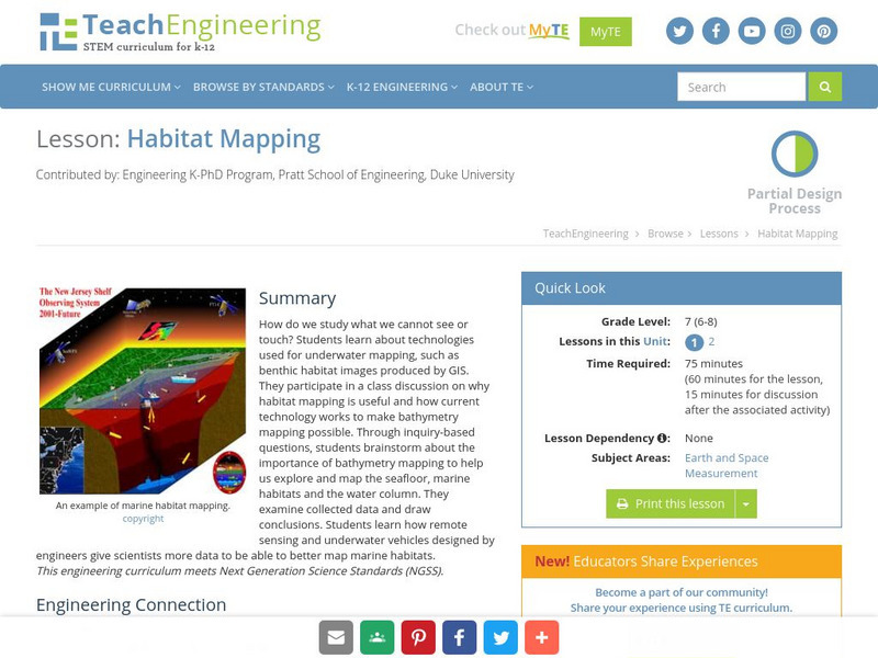
Teach Engineering: Habitat Mapping
The marine environment is unique and requires technologies that can use sound to gather information since there is little light underwater. In this lesson, the middle schoolers will be shown benthic habitat images produced by GIS. These...
PBS
Pbs Learning Media: Mapping Landforms and Water Bodies: Lesson Plan
Learn about different landforms and water bodies and the various characteristics that make them distinct from one another in this lesson plan from WGBH. Navigate around a virtual island to unlock information -- including videos and...
Microsoft
Microsoft: Map Reading in the 21st Century
Learners learn how to make informed use of new digital mapping information and tools. Learners create hands-on learning experiences for understanding the relevance of maps. The lesson plan consists of student activities, resources,...
Science Education Resource Center at Carleton College
Serc: Mn Step: Student Created Landform Maps With Glacial Emphasis
An activity where students work together to make topographic maps of a local park. The map must include a key and the grid locations of landforms in the park.
Alabama Learning Exchange
Alex: Don't Get Lost in Story Writing: Follow the Map!
In this lesson, teachers will guide the students, as a group, through the process of writing a meaningful story using a story map. First the teacher will review the parts that make up a successful story. Then, the students will be guided...
Science Education Resource Center at Carleton College
Serc: Mapping Your World
This activity serves as an introduction to mapping skills and the classroom. Students will create a map of the classroom, analyze and determine qualities that make a clear, concise map, then create a database of qualities they will use...
National Association of Geoscience Teachers
Nagt: Urban Planning 101: Map Appreciation
In this lesson students will begin by looking at a series of maps and they will brainstorm ways the natural world may interact with humans and vice-versa. Students will then come up with a list of features of a city or town, make...
National Association of Geoscience Teachers
Serc: Mapping Potato Island
In this hands-on activity, students make a topographic map to describe the shape of a potato. They will gain an understanding of how contour lines are used to describe the shape of the land surface.
Alabama Learning Exchange
Alex: Sonar Mapping of the Ocean Floor
Mapping the ocean floor must be done by indirect observation. One method involves bouncing a sonar signal off of the ocean floor and measuring the length of time this signal takes to return. This length can be translated into distance:...
Science Education Resource Center at Carleton College
Serc: Map and Compass Lab
Science Scope article presents an activity on topography and land masses that helps students learn about scientific inquiry. Students also practice making and interpreting scale drawings and learning about computation, estimation and new...
Library of Virginia
Virginia Memory: My County Tis of Thee: Counties of Virginia
A lesson in how to use historical maps to identify Virginia's counties and learn the political geography of Virginia.
American Geosciences Institute
American Geosciences Institute: Earth Science Week: Find Your Bearing: Mapping
In this exercise, students use compasses to make a map of the school's campus.
TeachEngineering
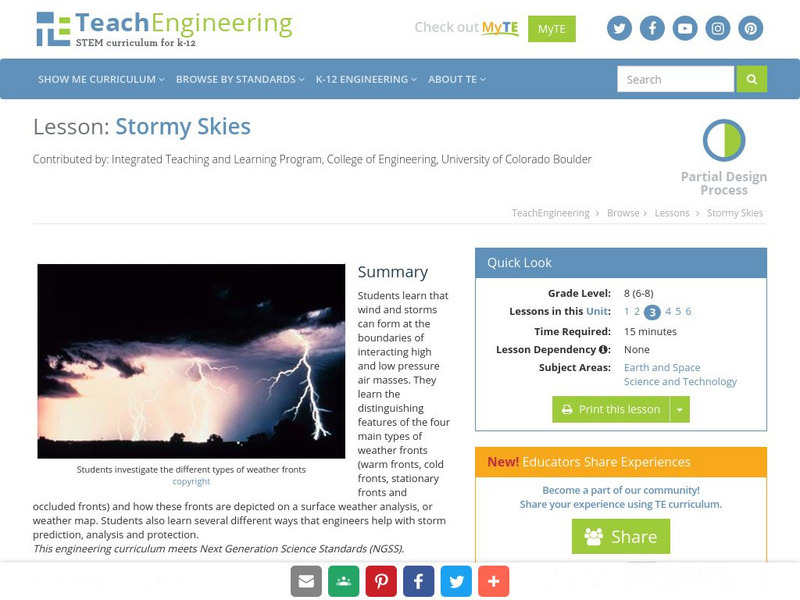
Teach Engineering: Stormy Skies
Young scholars learn that wind and storms can form at the boundaries of interacting high and low pressure air masses. They learn the distinguishing features of the four main types of weather fronts (warm fronts, cold fronts, stationary...
PBS
Pbs Teachers: Scientific American: Make Up Your Mind: Mind Mapping
Investigate the pseudoscience of phrenology and its attempt to organize and assign different purposes to different parts of the brain. Create a phrenology chart on a bathing cap and compare it to modern understanding of brain function...
Utah Education Network
Uen: Memories, a Connection to the Past
This lesson engages students in reading comprehension strategies related to Elizabeth Howard's Aunt Flossie's Hats, Mem Fox's Wilford Gordon McDonald Partridge, Bill Martin's Knots On A Counting Rope, and Lucia Gonzales' The Bossy...
Better Lesson
Better Lesson: Comparing and Contrasting With "Then and Now"
This lesson plan is a great small group reading lesson plan that has a social studies connection. In this lesson plan, students will be comparing and contrasting schools from long ago and schools of today using informational texts....
PBS
Pbs Kids Afterschool Adventure!: Operation: Lost and Found Activity Plan
Gorillas, groceries, pirate treasure, and aardvark homes: these are just a few of the things children will search for and find in this week's Afterschool Adventure, Lost and Found. Children will use position words like above, below, and...
Better Lesson
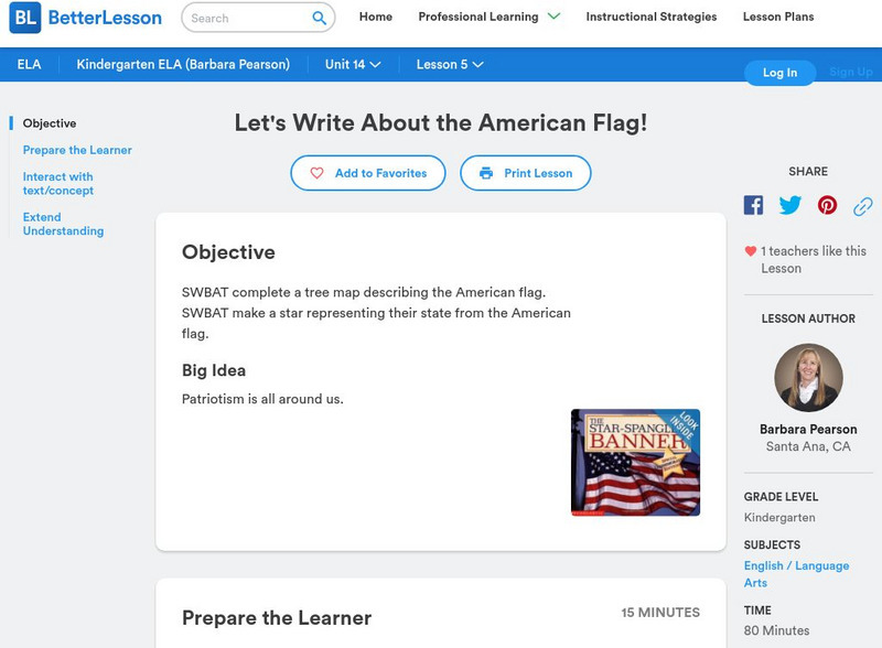
Better Lesson: Let's Write About the American Flag
Students will brainstorm adjectives to describe the American Flag and will write two descriptive sentences for homework. Students will also create star art to accompany their writing to show the relationship between words and pictures...
Other
Bscs: Budburst Lilac Festival
In this self-directed activity, students use graphs and maps of lilac phenology data to determine the best time to host a lilac blossom festival in their area. A handout with everything the student needs to complete this lesson is...
Cynthia J. O'Hora
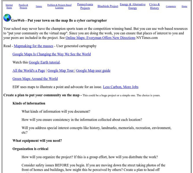
Mrs. O's House: Geo Web: Be a Cyber Cartographer
Take a close look at the resources provided and consider how students can put their school and/or community on the map. Discover cartography, virtual mapping, and points of interest in town or of the school.
ArtsNow
Arts Now Learning: Adventure Island [Pdf]
In this lesson, students will study examples of treasure maps and make a list of features and symbols. They will use their imaginations to create their own treasure maps and compose narratives to describe them.
Other popular searches
- Making Maps Geography
- Making Maps and Research
- Making Maps Using Technology
- Making Maps of History
- China, Making Maps
- Making Maps of Community
- Reading Making Maps
- Neigborhoods and Making Maps
- Making Maps Lesson Plans
- Making Maps Usign Technology
- China Making Maps
- Neighborhoods and Making Maps


