Hi, what do you want to do?
US Environmental Protection Agency
Epa: Ecological Regions of North America
A helpful map of North America which color codes its 15 ecological regions. Click on the different regions for a brief description of the area.
University of Georgia
University of Georgia: A Map of North America (1784)
A large and detailed Dutch map of North America as known to the Europeans in 1784.
Princeton University
Mammals of North America: Dolphins and Porpoises
From the pages of "Mammals of North America," a field guide published by Princeton University Press, this website offers general descriptions of striped, blunt-nosed dolphins and porpoises. Detailed pictures and maps of habitat range are...
Princeton University
Mammals of North America: Procyonids (Raccoons & Others)
From the pages of "Mammals of North America," a field guide published by Princeton University Press, this website offers general descriptions of several procyonids, including ringtails, northern raccoons, and white-nosed coati. Detailed...
Princeton University
Mammals of North America: Spotted and Hog Nosed Skunks
From the pages of "Mammals of North America," a field guide published by Princeton University Press, this website offers general descriptions of both spotted and hog-nosed skunks. Detailed pictures and maps of habitat range are also...
Other
Ecological Regions of North America [Pdf]
A helpful map of North America which color codes its 15 ecological regions. Click on the different regions for a brief description of the area. Requires Adobe Reader. [PDF]
Library of Congress
Loc: The Rochambeau Map Collection
A collection of the maps of North America, dating from 1717 to 1795. They were used by Jean Baptiste Donatien de Vimeur, the Comte de Rochambeau, when he was captain of the French forces during the American Revolution. Includes maps of...
University of Regina (Canada)
University of Regina: Math Central: Map of First Nations Peoples Pre Contact Culture Areas
A color coded map of North America which contains the regions inhabited by different aboriginal nations.
University of Texas at Austin
Univerisity of Texas: Maps of the Americas
A large collection of maps of all countries in the Americas including relief maps, political maps, and reference maps.
Princeton University
Mammals of North America: Elk and Moose
From the pages of "Mammals of North America," a field guide published by Princeton University Press, this website offers general descriptions of both elk and moose. Detailed pictures and maps of habitat range are also included.
Princeton University
Mammals of North America: Giant Eared Bats
From the pages of "Mammals of North America," a field guide published by Princeton University Press, this website offers general descriptions of several giant-eared bats, including the Spotted Bat, Rafinesque's Big-Eared Bat, Townsend's...
Other
The Conquest of North America by Hernando De Soto, Coronado and Cabeza De Vaca
Describes the conquest of North America in the 1500s by the explorers Hernando de Soto, Vasquez de Coronado, and Cabeza de Vaca. The text has many embedded links to maps showing the routes they traveled as well as to additional information.
InterKnowledge Corp.
Maps of Countries in the Americas
Maps of the Americas are available on this site.
Ducksters
Ducksters: Geography Games: Capital Cities of North America
Play this fun geography map game to learn about the capital cites of the countries of North America.
World Atlas
World Atlas: North America
Features maps and a description of the geography and history of North America with links to information on its countries, famous people, flags, symbols, and much more.
Library of Congress
World Digital Library: Map of Atlantic Coast: Chesapeake Bay to Florida
A historic map of the Atlantic coast of America created by cartographer Joan Vinckeboons around 1639 for the Dutch West India Company. A feature on the page allows the visitor to listen to and read the accompanying descriptive text in...
Library of Congress
Loc: Maps of Cities and Towns
Looking for old maps of somewhere in the United States? Check out this huge collection of maps! Search by the name of a city or town, another keyword, subject, title, or geographic location.
University of Georgia
University of Georgia: A Map of the u.s. Of North America (1783)
A large detailed map of newly formed United States upon the agreement on the Treaty of Paris of 1783, showing the agreed boundaries between the British and new United States lands.
That Quiz
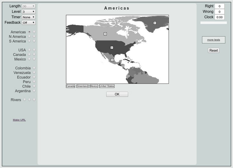
That Quiz: Practice Test: Americas
This resource provides a practice test which allows users to test their geographical knowledge of the Americas.
Ducksters
Ducksters: Geography Games: Flags of North America
Play this fun geography map game to learn about the flags of the countries of North America.
Other
Paleogeography and Geologic Evolution of North America
A collection of maps depicting the paleogeography of 550 million years of geologic history.
Curated OER
Etc: Maps Etc: Orographical Map of North America, 1911
A map from 1911 of North America, Central America, Greenland, and the Caribbean showing mountain systems (orographical), highlands, plains, and major rivers of the region. The map uses colot-contouring to show general land elevations...
Curated OER
Etc: Maps Etc: A Complete Map of North America, 1915
A map from 1915 of North America showing average temperatures for the month of July, given in degrees Fahrenheit.
Curated OER
Etc: Maps Etc: A Complete Map of North America, 1915
A map from 1915 of North America showing average temperatures for the month of January, given in degrees Fahrenheit.


