Enchanted Learning
Enchanted Learning: Map Reading Activity #1
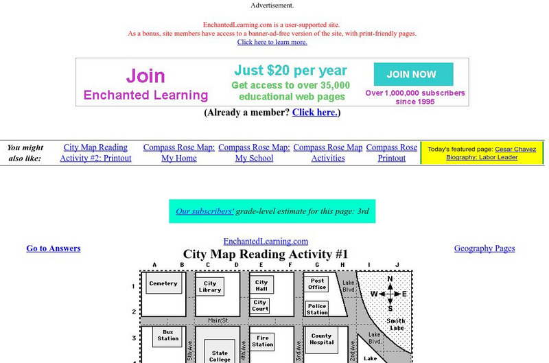
At this site from Enchanted Learning, students can use this printable worksheet and then follow the directions given and practice their map reading skills.
Enchanted Learning
Enchanted Learning: City Map Reading Activity #1
Using a diagram of a labeled map, students follow the directions given to find a certain location.
Microsoft
Microsoft: Map Reading in the 21st Century
Learners learn how to make informed use of new digital mapping information and tools. Learners create hands-on learning experiences for understanding the relevance of maps. The lesson plan consists of student activities, resources,...
Better Lesson
Better Lesson: Comparing and Contrasting Our Stories With a Double Bubble Map
Students will identify the similarities and differences between different versions of fictional stories by completing a double bubble map. Included in this lesson are teacher questions, a bubble map printable, a video of a class...
National Geographic
National Geographic: Measuring Distances on a Map
Activities will enhance students' understanding of how to read the map scale and apply it to measuring distances between locations.
US Geological Survey
U.s. Geological Survey: 27 Ideas for Teaching With Topographic Maps
A collection of twenty-seven activities that can be done with topographic maps, for elementary up to university level students. Includes many accompanying resources.
Other
Reading Quest: Strategies for Reading Comp.: History Frames: Story Maps
This activity will help you teach students chronological order as well as identifying key people and events. Printable worksheets.
University of South Florida
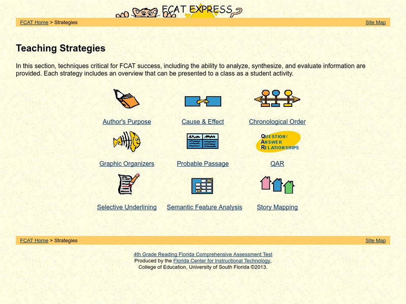
Fcat Reading Grade 4: Teaching Strategies
This is a great resource that concentrates strategies and student activities in one place in an easy to use format, and can be navigated easily. Find great examples of probable passage, selective underlining, and semantic feature...
Library of Congress
Loc: Teachers: Local History: Mapping My Spot in History
Through interpreting and investigating historical maps, young scholars gain new perspective not only of their local communities but also of their own homes. Student activities include collecting data about their homes, reporting on the...
Science Education Resource Center at Carleton College
Serc: Geo Map App Learning Activities: Rules of Contouring
Using GeoMap software, students learn how to read topographic maps, and the rules for using contour lines on a map. Detailed teacher and student handouts are provided. (GeoMap software can be downloaded at: http://www.geomapapp.org/.)
National Geographic
National Geographic: Comparing Historical Maps
Consider the changes that occur in towns, cities, countries through viewing maps from hundreds of years ago and modern day.
Other
Edte.ch: Maths Maps
Maths Maps is a collaborative project where participants use Google maps to choose a location within one of the cities highlighted, then create a Math problem about the site. The problems are marked on the map with various colors...
PBS
Pbs Kids Afterschool Adventure!: Operation: Lost and Found Activity Plan
Gorillas, groceries, pirate treasure, and aardvark homes: these are just a few of the things children will search for and find in this week's Afterschool Adventure, Lost and Found. Children will use position words like above, below, and...
Other
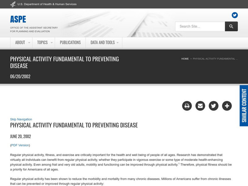
Hhs: Physical Activity Fundamental to Preventing Disease
Here, read statistics from the US Department of Health and Human Services concerning exercise and its key role in preventing chronic illness and premature death. Use these findings from medical studies in which diseases were studied in...
Harvard University
Harvard University: Maps and Mapping
This site is provided for by Harvard University. Students follow a map on a scavenger hunt, create a map of their classroom and their town, learn how to read topographic maps, and discover latitude and longitude in these inquiry activities.
Other
Kim's Korner: Graphic Organizers for Writing and Reading
What are graphic organizers for reading and writing? Use this site to learn more about these learning tools.
Other
Usps: The Flags of Our Nation: All Over the Map
This activity reinforces students' geographic, directional, and map skills while conveying interesting facts and state trivia.
US Geological Survey
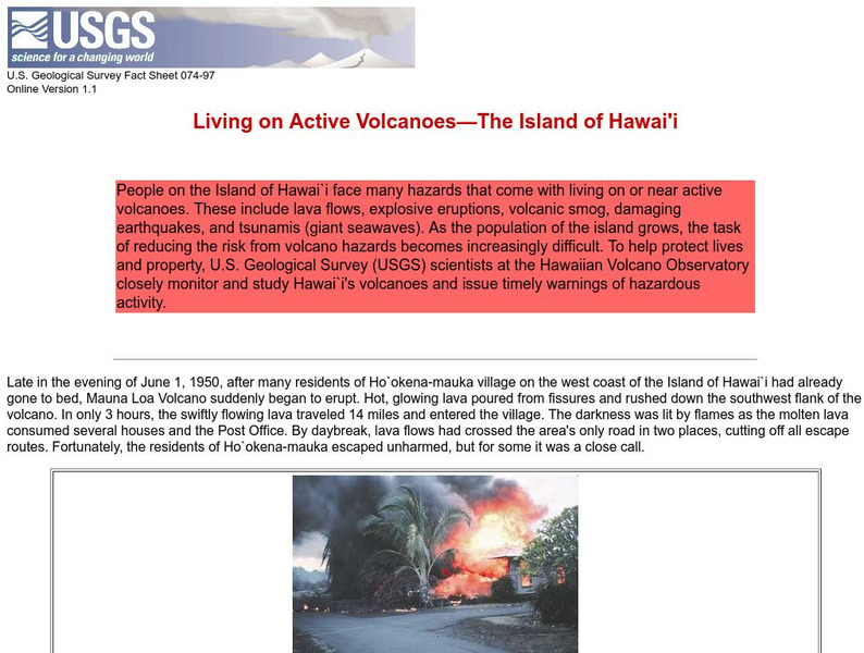
Living on Active Volcanoes on Hawaii
Living on the island of Hawaii brings you the hazard of living near a volcano. Read about actual eruptions and get scientific seismic information and maps.
Randall Davis
Esl Cyber Listening Lab: Basic English Quiz: Directions Around Town 2
This exercise combines map-reading and listening skills designed especially for English language learners. Students locate designated buildings on a map by following directions for turning right, walking two blocks forward, and so on.
Randall Davis
Esl Cyber Listening Lab: Basic English Quiz: Directions Around Town 3
This true-or-false exercise for English language learners tests their map-reading and listening skills. Using a small street map for visual reference, students answer a series of true/false questions about locations on the map.
University Corporation for Atmospheric Research
Ucar: Hurricanes and Climate
Young scholars investigate maps and data to learn where and when hurricanes form and how climate change may be affecting them.
National Geographic
National Geographic: Reading a Resource Map
Students will study maps to recognize where natural resources are found through exercises provided.
Texas Instruments
Texas Instruments: Map It!
In this activity, students explore map making. Students' read a story, identify the locations of different places in the story, decide the distance between each set of places in the story, and create a map with a legend.

