C3 Teachers
C3 Teachers: Inquiries: Maps and Geography
A comprehensive learning module on maps that includes three supporting questions accompanied by formative tasks and source materials, followed by a summative performance task. Students learn about map symbols, cardinal directions, and...
SMART Technologies
Smart: Geography Unit: Maps
This geography unit is designed to follow the 1st Grade geography skills required in Virginia. Students are expected to use cardinal directions, read map keys and understand map symbols, as well as identify our city and capital.
Louisiana Department of Education
Louisiana Doe: Louisiana Believes: Social Studies: Grade 1: Using Maps
First graders develop and express claims through discussions and writing in which they explore and create maps using map keys, and map symbols. Students engage with the sources to build their map skills.
PBS
Pbs Learning Media: Earth's Systems: Map It
Explore different types of maps and how different things are represented on maps in this media gallery from WGBH. Maps are used to help locate different places and different things. Map symbols are representations of larger things in the...
National Geographic
National Geographic: Places in the Park
Modeling the use of maps in and out of school can help students to recognize the value of maps and gain confidence with them. Using maps of places that are familiar to students will strengthen their spatial thinking skills before...
BBC
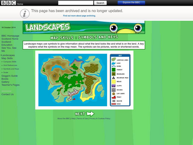
Bbc: Landscapes: Map Skills: Symbols and Keys
A guide for young learners to understand reading maps and their keys.
Enchanted Learning
Enchanted Learning: Texas Facts, Maps, and State Symbols
This site has a colorful display of information about Texas. It contains a map, pictures, a list of state symbols, and links to related information.
Enchanted Learning
Enchanted Learning: Pennsylvania: Facts, Map, and State Symbols
A list of key facts about the state of Pennsylvania, including information about Pennsylvania's state symbols. Useful extras for teachers include black-line masters of concept diagrams, maps, and thought organizers.
ClassFlow
Class Flow: Parts of a Map
[Free Registration/Login Required] This flipchart explores the basic parts of a map including the map title, compass rose and map legend.
Annenberg Foundation
Annenberg Learner: China Through Mapping
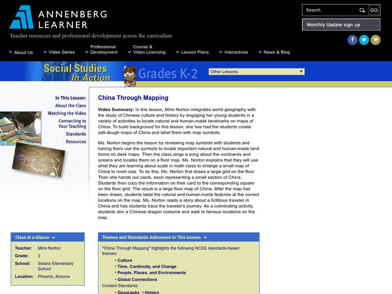
In this lesson, Mimi Norton integrates world geography with the study of Chinese culture and history by engaging her young students in a variety of activities to locate natural and human-made landmarks on maps of China. To build...
HotChalk
Hot Chalk: Lesson Plans Page: Find Captain Hook's Treasure
Lesson that helps students understand maps, map directions, and map symbols. Students use teacher-created maps to locate numbered keys on the playground.
ClassFlow
Class Flow: Map Key
[Free Registration/Login Required] This flipchart introduces the purpose of a map, map symbols, and the map key or legend. Activote questions reinforce the concepts.
Other
Canadian Heritage: Provincial and Territorial Symbols
By following the hyperlinks on the image map of Canada, one can learn about the symbols of each province and territory, as well as connect with each of provincial and territorial web pages.
Enchanted Learning
Enchanted Learning: Indiana
Enchanted Learning provides an Indiana fact sheet and map as well as a list of state symbols and links to related information.
Other
Office of the Prime Minister: Colouring Book
Colour six pictures of Canadian Symbols. Download the pictures and colour them with crayons or coloured pencils.
Enchanted Learning
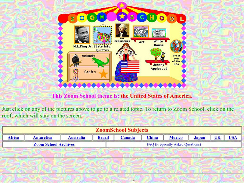
Enchanted Learning: Zoom School: United States of America
Use this resource to explore each state to get facts, maps and symbols; learn about the presidents; read about bald eagles and dinosaur fossils found in the U.S., find fun and exciting patriotic crafts and more.
50 States
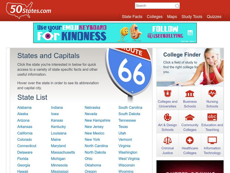
50 States: States and Capitals
This guide to the 50 U.S. states provides maps, pictures of state symbols, statistical information, and links to many other related sights. Test your knowledge with one of the quizzes or search for one of the fun facts.
Ducksters
Ducksters: United States Geography for Kids: New Hampshire
Kids learn facts and geography about the state of New Hampshire including symbols, flag, capital, bodies of water, industry, borders, population, fun facts, GDP, famous people, and major cities.
E-learning for Kids
E Learning for Kids: Math: Music, Dance Performance: Chance & Data
Nadir and his family play in a band. Can you help him get all the instruments together? In these activities, students will write data using symbols, use one object to represent one item, create a column graph, and determine whether...
Curated OER
Organization of American States: Venezuela
Full of useful information relating to the country of Venezuela. Topics covered include: population, language, geography, government, photos, national symbols, national heroes, and folklore.
ClassFlow
Class Flow: The United States Virgin Islands America's Caribbean
[Free Registration/Login Required] This flipchart introduces the major islands of the United States Virgin Islands. It also introduces calypso music, symbols, and maps.
Other popular searches
- Weather Map Symbols
- Weather Map Weather Symbols
- Topographic Map Symbols
- Map Symbols First Grade
- Teaching Map Symbols
- Geography Map Symbols
- Os Map Symbols
- Map Symbols and Neighborhood
- Location/ Map Symbols
- Wetaher Map Symbols
- Reading Weather Map Symbols
- Weather Map Symbols Exercise


