US Geological Survey
U.s. Geological Survey:the Great M9.2 Alaska Earthquake of March 27, 1964
A description of the earthquake in Prince William Sound, Alaska in 1964. Links to isoseismal map, earthquake damage photos, and seismogram of the earthquake.
US Geological Survey
U.s. Geological Survey: Real Time Earthquake Map
An interactive, real-time map showing current earthquakes happening all over the world. Students may choose options for which earthquakes to display by age, depth, magnitude, or intensity.
PBS
Pbs Learning Media: Global Earthquakes Activity and Seafloor Features
Learners will examine patterns between volcanic activity and seafloor features. NASA tracked volcanic activity for 15 years and created an animated map from their data. Compare this map to a map of seafloor features to reveal interesting...
Other
Digital Library for Earth System Education: Teaching Box: Earthquake Country
A suite of lessons focusing on all aspects of earthquakes. Inquiry-based exploration of earthquakes includes measuring seismic waves, predicting earthquakes, investigating magnitude and intensity, mapping fault lines, and evaluating...
The Washington Post
Washington Post: Mapping America's Wicked Weather and Deadly Disasters
Features data collection for natural disasters and maps the trends giving us an idea of where disasters have a tendency to strike.
Incorporated Research Institutions for Seismology
Iris: Earthquake Browser
A live, real-time data global map of all current earthquake activity.
Other
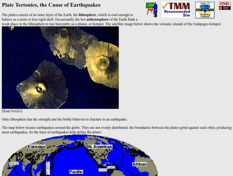
Nevada Seismological Laboratory: Plate Tectonics, the Cause of Earthquakes
This site contains an in-depth explanation of the causes of earthquakes as they relate to plate tectonics, and also has many nice and easy to read pictures, maps, and diagrams of plate tectonics and earthquakes.
US Geological Survey
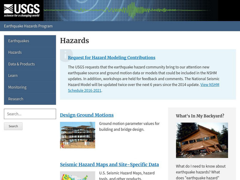
Us Geological Survey: Earthquake Hazards
Find out about earthquake hazards and damage. Some of the topics are an introduction to hazards, hazard maps, soil types and damage, and recent damage caused by earthquakes.
US Geological Survey
U.s. Geological Survey: Earthquake Lists, Maps, and Statistics
All kinds of earthquake data compiled here. Find the deadliest earthquakes, most damaging earthquakes, world and US statistics, historical earthquake lists, and more.
American Geosciences Institute
American Geosciences Institute: Earth Science Week: Geologic Maps & Earthquakes
This activity is designed to give students practice using a geologic map to assess the likelihood and location of a particular natural hazard- earthquakes- in California.
E-learning for Kids
E Learning for Kids: Science: Seychelles: Earthquakes and Effects
Students learn about what happens inside the Earth to cause an earthquake, how earthquakes are measured, their impact on the surface, and safety precautions to take during an earthquake.
Natural History Museum
Natural History Museum: Volcanoes and Earthquakes
As an online exhibit from the Natural History Museum, this site provides three videos on natural processes of Earth. The videos cover tsunamis, earthquakes, and volcanoes.
US Geological Survey
U.s. Geological Survey: Earthquakes: Liquefaction
Maps and images that show liquefaction, the process by which water-filled sediment loses strength and acts like a fluid.
American Geosciences Institute
American Geosciences Institute: Earth Science Week: Mapping Quake Risk
Students use GIS to observe worldwide patterns of earthquakes and volcanoes and analyze the relationships of those patterns to tectonic plate boundaries. Then they identify cities at risk.
Science Buddies
Science Buddies: Locating the Epicenter of an Earthquake
When an earthquake happens, how are scientists able to determine the original location of the quake? In this project, you'll use archived data from a network of seismometers to find out for yourself. You'll create your own seismograms...
Science Buddies
Science Buddies: Ring of Fire 2: What Earthquakes Tell Us About Plate Tectonics
The theory of plate tectonics revolutionized geology in the 1960's. In this project you can explore the connection between plate tectonics and earthquakes by mapping historical seismic data.
Other
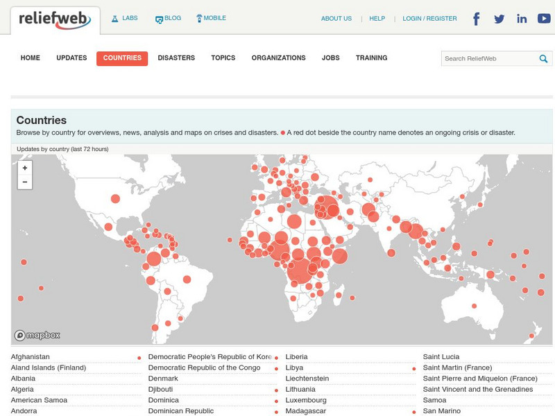
Relief Web: Countries
This resource provides information on countries throughout the world, current news, and different types of maps.
Other
University of Wisconsin Green Bay: Faults and Earthquakes
This site is primarily set up as an outline and is loaded with graphs, maps, and images. It covers a variety of earthquake-related topics, such as what causes earthquakes, fault lines and structures, seismology, a historical look at...
University of Wisconsin
Scien Count Ers: Earthquake Proof Buildings
This lesson looks at how the forces of an earthquake impact on buildings, and different ways to make buildings earthquake-proof. Includes student worksheet and tectonic plates map.
Texas State Historical Association
Texas State Historical Association: Notable Earthquakes Shake Texas [Pdf]
An activity guide where students refer to the Texas Almanac, which is free to download, for information needed to complete assigned tasks. In this instructional activity, they research earthquakes that have taken place in Texas, and the...
NASA
Nasa Earth Observatory: Putting Earthquakes in Their Place
Discover the location of faults by viewing a schematic Global Tectonic Activity Map. View the location of different types of faults, active spreading centers and volcanoes
Michigan Technological University
Michigan Tech University: Where Do Earthquakes Happen?
An informative site that explains how and where earthquakes occur and the different types of faults. Contains maps and charts of fault lines, plate edges, and the continental plates. There are other links within the site of related...
Other
Center for Satellite Based Crisis Information: Haiti Earthquake
Presents an overview of the January 12, 2010 earthquake that took place in Haiti and provides maps to download that show the devastation and damage that occurred.
Science Education Resource Center at Carleton College
Serc: Fairly Simple Geology Exercises
A collection of geology exercises which include relevant background information, complete instructions, student handouts, and answer keys. Topics include rock and mineral identification, Bowen's reaction series, crystal models,...


