Hi, what do you want to do?
Geographypods
Geographypods: Map Skills
A collection of highly engaging learning modules on various topics within mapping skills. Covers map symbols, how to use four- and six-figure grid references, cardinal directions, distance, contour mapping, and drawing cross-sections....
National Geographic
National Geographic: Geographic Groceries
This site provides activities and lesson plans for all age levels on mapping.
Other
Usps: The Flags of Our Nation: All Over the Map
This activity reinforces students' geographic, directional, and map skills while conveying interesting facts and state trivia.
Enchanted Learning
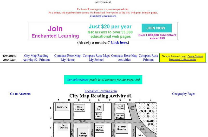
Enchanted Learning: City Map Reading Activity #1
Using a diagram of a labeled map, students follow the directions given to find a certain location.
PBS
Pbs Learning Media: Cardinal Directions | Activity Starter
A thorough interactive program helping students to understand the cardinal directions.
Enchanted Learning
Enchanted Learning: Map Reading Activity #1
At this site from Enchanted Learning, students can use this printable worksheet and then follow the directions given and practice their map reading skills.
Science Education Resource Center at Carleton College
Serc: Mapping Your World
This activity serves as an introduction to mapping skills and the classroom. Students will create a map of the classroom, analyze and determine qualities that make a clear, concise map, then create a database of qualities they will use...
PBS
Pbs Learning Media: Earth's Systems: Map It
Explore different types of maps and how different things are represented on maps in this media gallery from WGBH. Maps are used to help locate different places and different things. Map symbols are representations of larger things in the...
Better Lesson
Better Lesson: Comparing and Contrasting Our Stories With a Double Bubble Map
Students will identify the similarities and differences between different versions of fictional stories by completing a double bubble map. Included in this lesson are teacher questions, a bubble map printable, a video of a class...
Other
Edte.ch: Maths Maps
Maths Maps is a collaborative project where participants use Google maps to choose a location within one of the cities highlighted, then create a Math problem about the site. The problems are marked on the map with various colors...
National Geographic
National Geographic: Mapping the Classroom
Learning to use and create maps builds students' spatial thinking skills as well as language skills in the early years. In this lesson, students practice using the language of location and then apply that language when creating a map of...
National Geographic
National Geographic: Mapping Landforms
Students will study landform maps of states and then create a project of their own.
Science Education Resource Center at Carleton College
Serc: State Map Poster
This is a project where students pick a state, study its landforms and data about its geology, and produce a poster that outlines how the state's geography evolved over time. An example of such a poster is provided on a downloadable...
PBS
Pbs Kids Afterschool Adventure!: Operation: Animal Assistants Activity Plan
The animals need help! In this week's Afterschool Adventure, children will take the role of Animal Assistants and use their spatial skills to help save the day. Each section of this weeklong adventure is introduced by a video clip or...
Folger Shakespeare Library
Folger Shakespeare Library: Study Guide: Macbeth
A comprehensive study guide for teaching Shakespeare's Macbeth. Includes the a synopsis, a character map, historical context, a thematic study, and pre/post viewing activities. Links to re-mixing scenes from Macbeth, and an insider's guide.
National Council of Teachers of Mathematics
Nctm: Illuminations: State Data Map
Data can be displayed in a variety of ways. This interactive map of the United States shows data by degrees of color. Choose to display data such as: land area, population, population density, gas use, and much more.
Utah Education Network
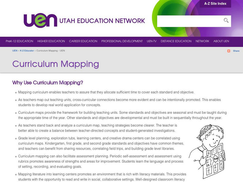
Uen: Curriculum Mapping
Discover more about curriculum mapping when you visit this informative site. Teachers will gain a better understanding of curriculum mapping through this resource.
Other
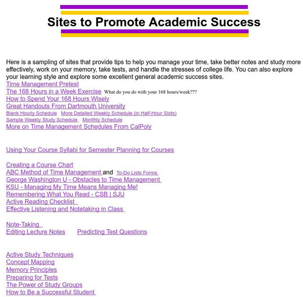
University of Northern Iowa: Study Skills
Collection of web sites that provide tips to help you study more effectively, manage your time, take better notes, and handle the stresses of school life.
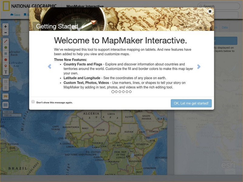
National Geographic
National Geographic: Map Maker Interactive and 1 Page Map Maker
This National Geographic feature allows visitors to create their own world maps complete with capitals, oceans, climate information, satellite view, personalized trail markings and more. Choose from a detailed color map or the second...
Other
Kodak: Social Studies Lesson Plans
This Kodak site has twelve lesson plans submitted by teachers from every grade level. Each activity integrates photography into the lesson.
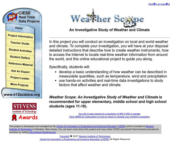
Center for Innovation in Engineering and Science Education, Stevens Institute of Technology
Ciese Real Time Data Projects: Weather Scope: A Study of Weather and Climate
Use real-time data to study factors that affect weather and climate, create weather instruments, and share data with learners around the world.
National Geographic
National Geographic: Reading a Resource Map
Students will study maps to recognize where natural resources are found through exercises provided.
University of Manchester
Children's University of Manchester: Word Literacy: World Languages Map
Click the continents on this animated map to learn facts about some of the languages spoken in the world.


