University of Wisconsin
The Why Files: Oceans' True Boundaries and "Garbage Patches"
A deep look at ocean circulation returns a surprise: Currents transport water - and non-degradable, floating plastic - between the ocean basins. Thus, some of the plastic in the South Atlantic "garbage gyre" was actually thrown away in...
Curated OER
National Park Service: Tour of Park Geology: Plate Tectonics
Plate tectonics and different plate boundaries are discussed on this website. Also, learn about the type of plate boundaries found in our National Parks.
Other
International Boundary Commission
International Boundary Commission website provides pictures and information on its history, purpose and function as a bi-national organization. Under the 1960 International Boundary Commission Act, the Commission's work is described as...
National Geographic
National Geographic: More Physical Geography and Borders
Lesson on the physical features that create borders and boundaries. Small group and whole class activities, background information, worksheets and assessment.
United Nations
United Nations: Cartographic Section: Okavango River Basin [Pdf]
This map from the United Nations is a very detailed map of the Okavango River Basin, showing rivers, wetlands, cities, country boundaries and much more. Increase the viewing percentage to read the map easily.
Other
National Atlas
This site is excellent for mapping. You can create ANY kind of map you need. Select all kinds of layers: agriculture, biology, boundaries, climate, history, and more, and then select the geography. It does take some time to figure out...
National Geographic
National Geographic: Conflict on the Danube
Lesson in which young scholars use maps and text to explore physical and cultural boundaries and the disputes over control of them. Includes two activities with comprehensive and adaptable materials.
National Geographic
National Geographic: Plate Tectonics
A short tutorial on plate tectonics. Includes a video, background reading, three questions, fast facts, and a vocabulary list. Discusses the publication of the Tharp-Heezen map of the seafloor in 1977 which paved the way for a much...
Smithsonian Institution
National Museum of the American Indian: Indigenous Geography
Indigenous Geography helps you develop key understandings on nine different dimensions as they relate to six Native communities located in the Western Hemisphere. Learn about the creation stories, place boundaries and landmarks, calendar...
Henry J. Sage
Sage American History: Oregon Boundary Dispute and Oregon Fever
Article outlining the disputes and events in the 1840s leading to the acquisition of the Oregon Territory which included land west of the Continental Divide between northern California and the Province of British Columbia.
Smithsonian Institution
National Museum of Natural History: Ocean Planet: Ocean Currents
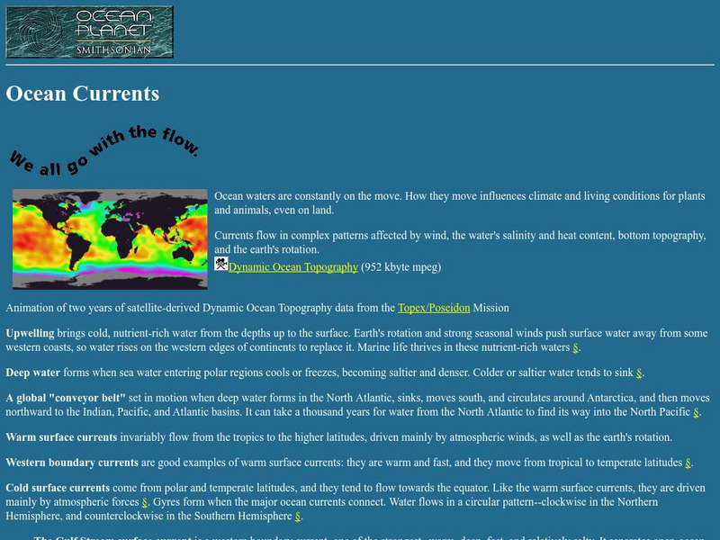
The Ocean Planet exhibit at the Smithsonian explains the general features of ocean circulation. A general look at upwelling, deep water, and currents are combined for an overall view.
Other
The National Academies of Sciences, Engineering, and Medicine: Project Mohole
Project Mohole was "the earth sciences' answer to the space program," a project to gain information about the Earth by drilling a hole through the Earth's crust to the Mohorovicic Discontinuity (Moho). This website gives a history of the...
National Geographic
National Geographic: Encyclopedia: Mantle
An in-depth look at the structure and composition of Earth's mantle, with lots of visuals. Covers lithosphere, Mohorovicic discontinuity, asthenosphere, transition zone, lower mantle, the d double-prime region, mantle convection, mantle...
National Geographic
National Geographic: European Borders Through History
Lesson in which learners use maps to explore how European political borders have changed over time. Maps after WWI, WWII and European Union provided for comparison.
University of Minnesota
U Mn: Immigration History: Gatekeeping
This resource presents political cartoons from four different national contexts. Its goal is to further understandings of the ways in which nation-states affect an individual's ability to move freely around the world.
Curated OER
National Park Service: What on Earth Is Plate Tectonics?
An easy-to-understand explanation of what plate tectonics is. Contains information about the inner parts of the Earth, the difference between the three types of plates, and numerous maps and illustrations.
Other
Animated Atlas: Growth of a Nation
A 10-minute movie showing the expansion of the United States after the end of the Revolutionary War. Follow the directions to start the movie and listen to the explanations.
Other
International Joint Commission (Great Lakes)
This bi-national organization deals with boundary disputes between Canadian and American governments in regard to the Great Lakes waterways and water resources. It was founded by the Boundary Waters Treaty of 1909. This organization...
US National Archives
Nara: American Originals: The Treaty of Paris
A photograph from the National Archives and Records Administration of part of the original Treaty of Paris with a brief narrative about the provisions of the Treaty.
Other
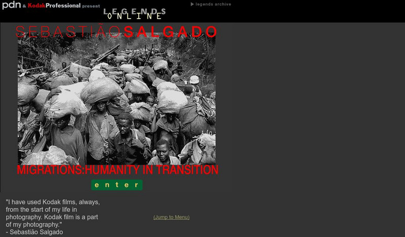
Pdn and Kodak Professional: Migrations: Humanity in Transition
Displays images by photojournalist, Sebastian Salgado, on immigrants in motion "seeking survival and a better life - one individual at a time, one family at a time, from field to town to city, and across national boundaries"....
University of Minnesota
University of Minnesota: Eugenics, Race, & Immigration Restriction
This resource consists of primary documents about the international eugenics movements in the late-19th and early-20th centuries. Its goal is to show how eugenics influenced immigration laws and how eugenics theories and policies...
Curated OER
Etc: Maps Etc: Political Boundaries in Europe, 1920
Map of Central and Western Europe after the Treaty of Versailles at the end of WWI. The map includes railroads, canals, shipping routes, major cities and capitals, and the country boundaries established by the Treaties of Versailles,...
Curated OER
Educational Technology Clearinghouse: Maps Etc: The Indian Nations, 1775
An early map of the eastern North America from the Great Lakes to the Gulf of Mexico and east of the Mississippi River around 17765, showing the Indian Nations adjoining to the Mississippi, West and East Florida, Georgia, South and North...
Curated OER
Etc: Maps Etc: The American Indian Nations, 1776
An early map of the southeastern North America around 1776, showing the American Indian Nations of the region at the time. The map shows colonial boundaries extending from the Atlantic coast to the Mississippi River, towns, forts, and...


![United Nations: Cartographic Section: Okavango River Basin [Pdf] Graphic United Nations: Cartographic Section: Okavango River Basin [Pdf] Graphic](http://content.lessonplanet.com/resources/thumbnails/457765/large/bwluav9tywdpy2symdi1mdqyoc04mzc3mdutcdftbgx4lmpwzw.jpg?1745828804)
