Texas State Historical Association
Texas State Historical Association: Texas' Natural Environment
Presents information and data on all aspects of the geography, natural resources, and climate of Texas, including natural disasters and extreme weather events.
Texas State Historical Association
Texas State Historical Association: Environment of Texas [Pdf]
An activity guide where students refer to the Texas Almanac, which is free to download, for information needed to complete assigned tasks. In this lesson plan, they learn about the four physical regions of Texas, the geology and soils,...
Curated OER
University of Texas: Maps: Kyrgyzstan: Physical Map
Physical map of Kyrgyzstan showing physical features as well as cities, province borders, roads, and railroads.
Texas State Historical Association
Texas State Historical Association: Counties of Texas [Pdf]
An activity guide where students refer to the Texas Almanac, which is free to download, for information needed to complete assigned tasks. In this lesson, they investigate the county in which they live, compare it to counties in the...
University of Texas at Austin
Perry Castaneda Library Map Collection: Mexico Maps
This site provides a wealth of maps relating to the country of Mexico.
Encyclopedia Britannica
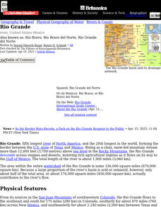
Encyclopedia Britannica: The Rio Grande
This entry provides a description of the physical features, the economy surrounding and the study and exploration of the Rio Grande river.
University of Texas at Austin
Perry Castaneda Library Map Collection: Sri Lanka Maps
This resource provides several country, city, historical and thematic maps detailing the country of Sri Lanka. PDF (requires Adobe Reader)

![Texas State Historical Association: Environment of Texas [Pdf] Lesson Plan Texas State Historical Association: Environment of Texas [Pdf] Lesson Plan](https://d15y2dacu3jp90.cloudfront.net/images/attachment_defaults/resource/large/FPO-knovation.png)


