Hi, what do you want to do?
Other
La Rue Literacy Exercises: Reading a Map: Quiz 12
In this quiz, students are given sections of a map with locations like the school, post office, back, etc. They are asked questions about directions from one place to the other.
E-learning for Kids
E Learning for Kids: Math: Bus Station: Position on a Map
Help Jamal read maps, describe directions, and identify coordinates in this series of interactive exercises.
C3 Teachers
C3 Teachers: Inquiries: Maps and Geography
A comprehensive learning module on maps that includes three supporting questions accompanied by formative tasks and source materials, followed by a summative performance task. Students learn about map symbols, cardinal directions, and...
Read Works
Read Works: How to Draw a Map Passage & Question Set
[Free Registration/Login Required] This informational text passage explains how to draw a map. This passage reinforces essential reading comprehension skills. Opportunities for vocabulary acquisition are also included. Several questions...
Utah Education Network
Uen: Lesson Plan: Fairy Tale Maps
Lesson designed to introduce maps and the cardinal directions. After listening to the teacher read aloud or tell the story of Little Red Riding Hood, learners retell the story and use cutouts of landmarks and arrows to create a map of...
Randall Davis
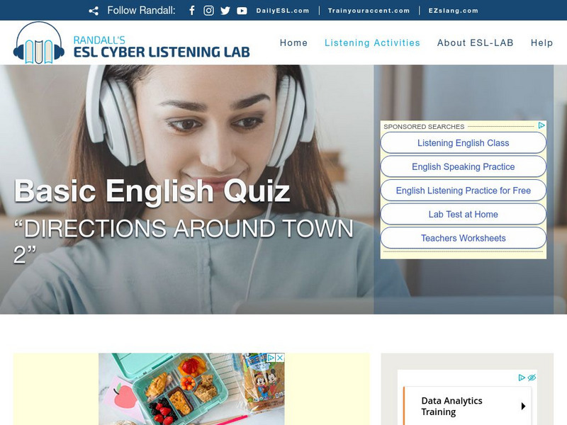
Esl Cyber Listening Lab: Basic English Quiz: Directions Around Town 2
This exercise combines map-reading and listening skills designed especially for English language learners. Students locate designated buildings on a map by following directions for turning right, walking two blocks forward, and so on.
Utah Education Network
Uen: Lesson Plan: Map the Path in My Father's Dragon
Lesson that helps learners understand map concepts. After listening to the teacher read aloud each chapter of My Father's Dragon by Ruth Stiles Gannett, students discuss the book and use a map and general direction terms to describe the...
Enchanted Learning
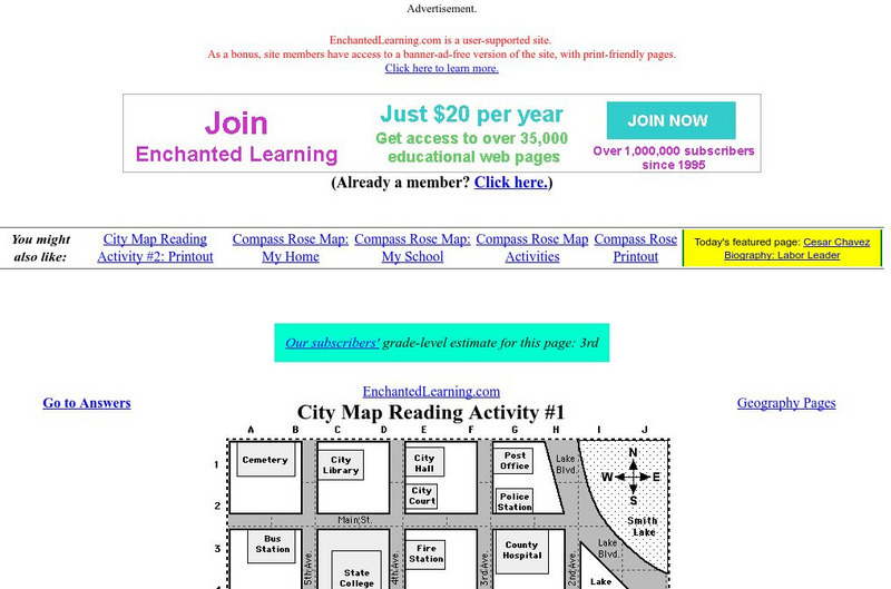
Enchanted Learning: City Map Reading Activity #1
Using a diagram of a labeled map, students follow the directions given to find a certain location.
University of Texas at Austin
The Perry Castaneda Library Map Collection
This collection contains more than 250,000 maps covering all areas of the world, and ranging from political and shaded relief maps to the detailed and the historical. Select from a region of the world or an area of highlighted interest.
Michigan State University
Michigan State University: Intervention for Reading: Group Story Mapping
This intervention, which is based on Schema Theory, emphasizes linking previous knowledge structures (schemata) with reading materials. A pre-reading technique (see "My Story Map") provides a framework that directs students' attention to...
ReadWriteThink
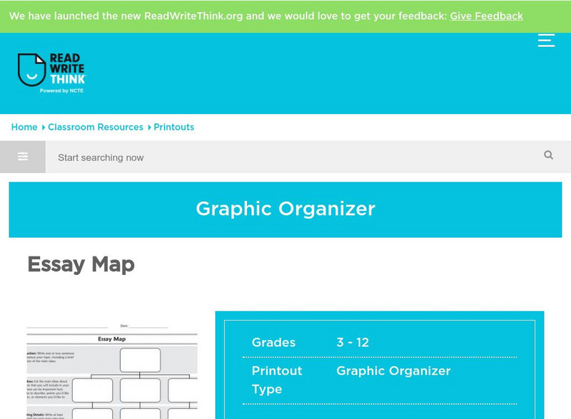
Read Write Think: Essay Map
A fillable essay map in PDF format with boxes for an introduction, main ideas, supporting details, and a conclusion. Directions on how to use this type of graphic organizer as well as lists of teaching ideas and related resources are...
BBC
Bbc: Bitesize Geography: Os Map Skills
A short tutorial on mapping tools and how to read maps. Covers features of maps, symbols, the compass, scale, distance, how height is represented, and grid references. Includes multiple-choice quiz at the end.
Alabama Learning Exchange
Alex: Primary Technology Maps
This hands-on, inquiry-based lesson combines maps skills which include identifying map elements, applying an understanding of cardinal directions, interpreting resource maps, and identifying a location. Young scholars will have the...
ReadWriteThink
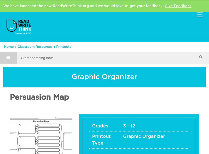
Read Write Think: Persuasion Map
A printable graphic organizer for students to use when writing on opinion or persuasive essay. Directions on how to use this type of graphic organizer as well as lists of teaching ideas, lesson plans, and other resources are also...
British Library
British Library:northwest Passage: Early Approaches, a Historical Account
Read about the early attempts to find a way through the Northwest Passage. Included are portraits and early maps of the explorers.
Other
Map Zone: Compasses and Directions
Sharpen map skills by exploring these map pages. Learn about the compass rose, different norths, and how to use a compass.
TeachEngineering
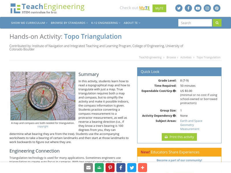
Teach Engineering: Topo Triangulation
In this activity, students will learn how to read a topographical map and how to triangulate with just a map. True triangulation requires both a map and compass, but to simplify the activity and make it possible indoors, the compass...
Ingles Mundial
Ingles Mundial: Understanding Maps and Directions
Extensive site for teaching Spanish speaking ELL. The theme of this unit is the directions - An "e-mail" is presented, giving directions to a house party - Interactive exercise follows, asking comprehension questions - A guided writing...
PBS
Pbs Learning Media: Let's Learn
This collection of resources for children ages 3-8 are drawn from the public television series Let's Learn, a partnership between the WNET Group and the New York City Department of Education. Let's Learn aims to provide our young...
Randall Davis
Esl Cyber Listening Lab: Basic English Quiz: Directions Around Town 3
This true-or-false exercise for English language learners tests their map-reading and listening skills. Using a small street map for visual reference, students answer a series of true/false questions about locations on the map.
Randall Davis
Esl Cyber Listening Lab: Basic English Quiz: Directions Around Town 1
This site has an exercise designed for English language learners that tests map reading and survival listening skills. The exercise incorporates a small street map. Students listen to statements about the map, then, using the map for...
Curated OER
Educational Technology Clearinghouse: Maps Etc: Surrey and Sussex, 1908
A detailed travel map of southern England from 1908, showing portions of Surry and Sussex (East and West) counties. The map shows first class and secondary roads, railways, cities, towns, rivers, coastal and terrain features of the area....
Rice University
Rice University: Cynthia Lanius: Mathematics of Cartography: Coordinate System
A coordinate system such as latitude/longitude is an example of absolute location. Links to Greenwich/Prime Meridian.


