Hi, what do you want to do?
National Geographic
National Geographic: Measuring Distances on a Map
Activities will enhance students' understanding of how to read the map scale and apply it to measuring distances between locations.
TeachEngineering
Teach Engineering: Topo Map Mania!
Maps are designed to allow people to travel to a new location without a guide to show the way. They tell us information about areas to which we may or may not have ever been. There are many types of maps available for both recreational...
E-learning for Kids
E Learning for Kids: Math: Market Place: Measurement: Temperatures
On this interactive site students learn to link temperature to everyday life and read informal scales on a thermometer.
BBC
Bbc: Bitesize Geography: Os Map Skills
A short tutorial on mapping tools and how to read maps. Covers features of maps, symbols, the compass, scale, distance, how height is represented, and grid references. Includes multiple-choice quiz at the end.
TeachEngineering
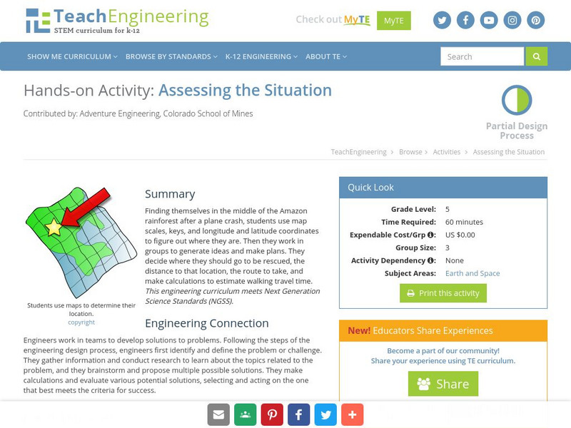
Teach Engineering: Assessing the Situation
In this activity, students will use the scale, the key, and longitude and latitude on a map to determine where they have crashed. They will then use the map scale to determine the distance to the nearest city and how long it will take...
University of California
Us Geological Survey: Cartogram Central
The USGS offers detailed information on Types of Cartograms, Congressional Districts, Software for Cartograms, Publications, and a Carto-Gallery.


