Other
Richard Phillips: Making Maps Easy to Read
This geography research project surveys factors that make maps easy to read and to use.
CK-12 Foundation
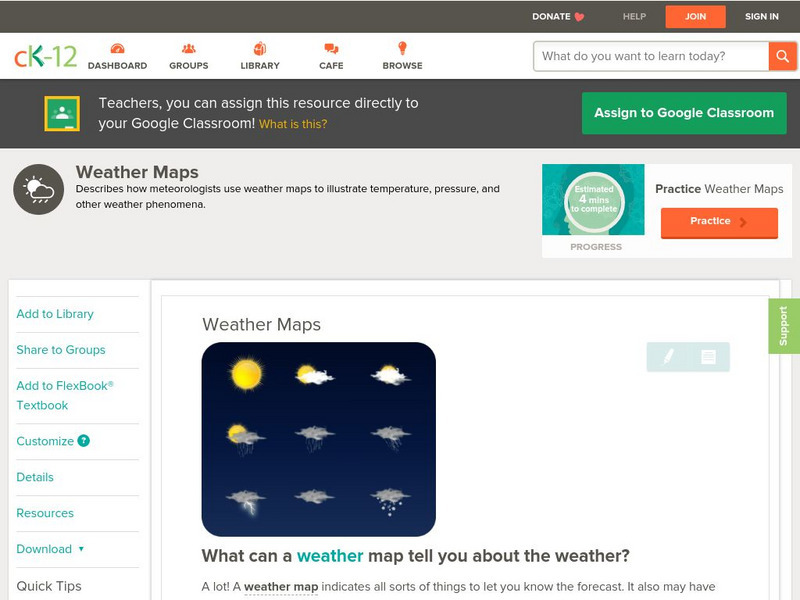
Ck 12: Earth Science: Weather Maps
[Free Registration/Login may be required to access all resource tools.] How meteorologists create and read weather maps.
Harvard University
Harvard University: Maps and Mapping
This site is provided for by Harvard University. Students follow a map on a scavenger hunt, create a map of their classroom and their town, learn how to read topographic maps, and discover latitude and longitude in these inquiry activities.
Other
Reading Quest: Making Sense of Social Studies
Teaching students to read well in areas other than language arts requires teaching and reinforcing the kinds of reading strategies taught here. There are 27 strategies, ranging from brainstorming to word mapping. The site includes PDF...
Library of Congress
Loc: Zoom Into Maps
What can we learn from maps? How can we use maps? How can we best read maps? Find out the answers to these with detailed explanations of making the most of maps presented to us. Examples of historical, pictoral, miratory, etc. types of...
Other
Edte.ch: Maths Maps
Maths Maps is a collaborative project where participants use Google maps to choose a location within one of the cities highlighted, then create a Math problem about the site. The problems are marked on the map with various colors...
Read Works
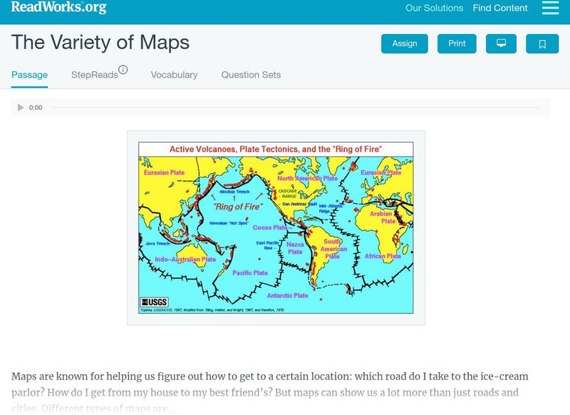
Read Works: The Variety of Maps
[Free Registration/Login Required] An informational text about many different types of maps and the people who make them. A question sheet is available to help students build skills in reading comprehension.
BBC
Bbc: Bitesize Geography: Os Map Skills
A short tutorial on mapping tools and how to read maps. Covers features of maps, symbols, the compass, scale, distance, how height is represented, and grid references. Includes multiple-choice quiz at the end.
Microsoft
Microsoft: Map Reading in the 21st Century
Learners learn how to make informed use of new digital mapping information and tools. Learners create hands-on learning experiences for understanding the relevance of maps. The lesson plan consists of student activities, resources,...
Texas State Library and Archives Commission
Texas State Library and Archives Commission: The Movement Comes of Age: Suffrage Map, Austin Woman Suffrage Association
Here is an interesting "Suffrage Map," showing which states had granted women the right to vote by 1913. Read how the women's voting movement was, unfortunately, soiled by racism, as shown through the map's text, "Won't You Help Us Make...
Curated OER
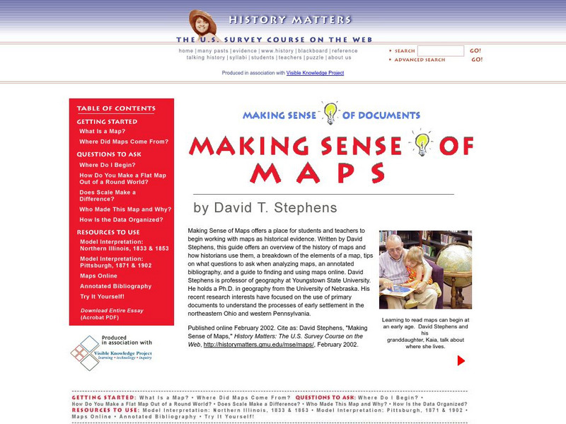
History Matters: Making Sense of Maps
Very detailed site from History Matters containing an explanation of how to read maps and understand them. An excellent resource for teachers. The site covers how to begin, how to use a scale, how to create a flat map for a round world,...
English Zone
English Zone: Reading a City Map 1
Practice reading information provided in map format. This website has a simple city map that you refer to when answering questions about various places located on the map. Choose the correct response for each multiple choice question and...
National Association of Geoscience Teachers
Nagt: Urban Planning 101: Map Appreciation
In this lesson students will begin by looking at a series of maps and they will brainstorm ways the natural world may interact with humans and vice-versa. Students will then come up with a list of features of a city or town, make...
Other
Mapping Your Future: For Middle and High School Students
If you read through all sections of this site, then follow through on what you have read, you'll learn to make the most of your high school experience and know how to prepare for your life after high school. The site also has a section...
Curated OER
History Matters: Making Sense of Documents
Designed to help teachers and students make effective use of primary documents. There are well written section on how to make sense of numbers, ads, music, diaries, and more. included are interactive activities for students to help them...
Library of Virginia
Virginia Memory: My County Tis of Thee: Counties of Virginia
A lesson in how to use historical maps to identify Virginia's counties and learn the political geography of Virginia.
Utah Education Network
Uen: Memories, a Connection to the Past
This lesson engages students in reading comprehension strategies related to Elizabeth Howard's Aunt Flossie's Hats, Mem Fox's Wilford Gordon McDonald Partridge, Bill Martin's Knots On A Counting Rope, and Lucia Gonzales' The Bossy...
University of California
Us Geological Survey: Cartogram Central
The USGS offers detailed information on Types of Cartograms, Congressional Districts, Software for Cartograms, Publications, and a Carto-Gallery.
Daily Teaching Tools
Daily Teaching Tools:more Graphic Organizers for Teaching Literature and Reading
This Daily Teaching Tools collection provides graphic organizers for teaching reading and literature. Elaborate graphic organizers are provided for the following: story maps, character study charts, making text connection maps, conflict...
Texas Education Agency
Texas Gateway: Synthesize Ideas in Informational/expository Text
[Accessible by TX Educators. Free Registration/Login Required] Learn how to synthesize and make logical connections between ideas within a text and across two or three texts representing similar or different genres and to support the...
Rice University
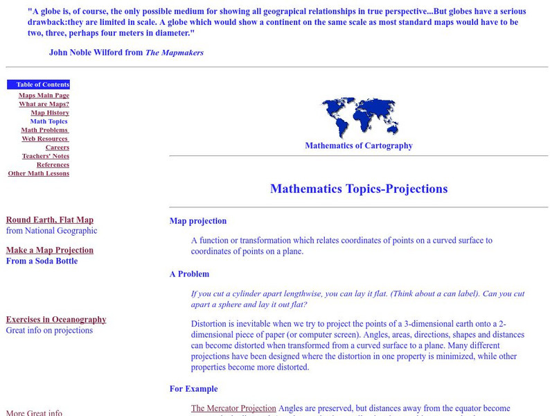
Rice University: Cynthia Lanius: Mathematics of Cartography: Projections
Understanding map projections is an important map-reading skill. Features graphics and links to examples of many different projections and an activity on making a Mercator projection.
Pamela Seed
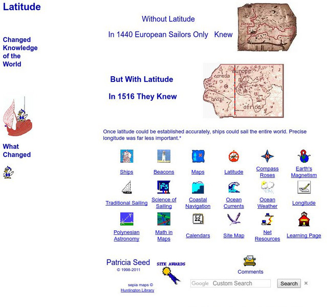
Rice: Latitude: The Art and Science of 15th Century Navigation
This is a great site to read about how navigation began in Europe and what tools were used. Make sure to read the segments on coastal navigation, maps, and ocean currents.
TeachEngineering
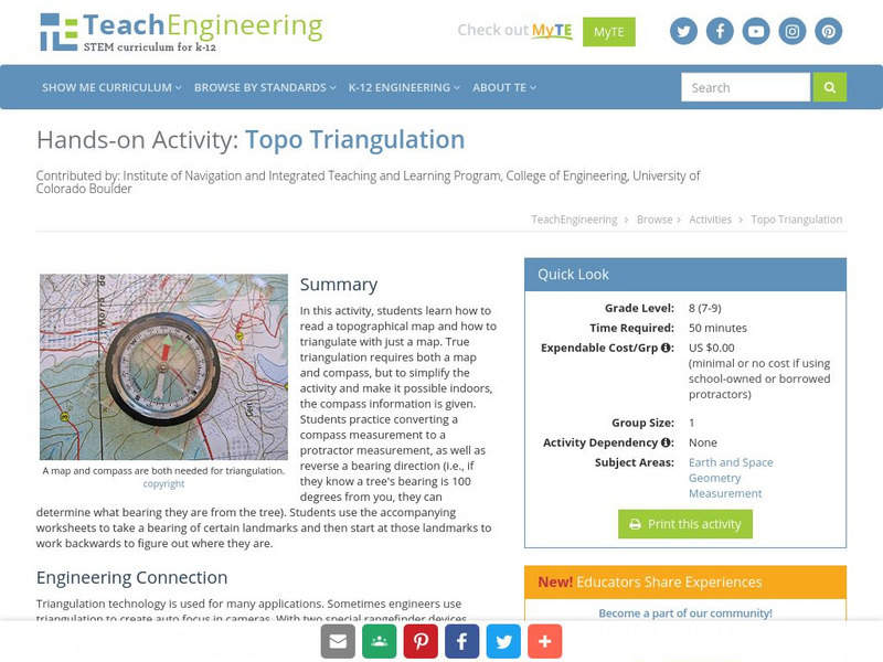
Teach Engineering: Topo Triangulation
In this activity, students will learn how to read a topographical map and how to triangulate with just a map. True triangulation requires both a map and compass, but to simplify the activity and make it possible indoors, the compass...

