Other
Office of Minority Health: Hispanics in the United States
Discusses Hispanics in the United States and their group characteristics. Includes information on the following: size of group and distribution, ethnic composition and historical settlement patterns, nomenclature, major stereotypes about...
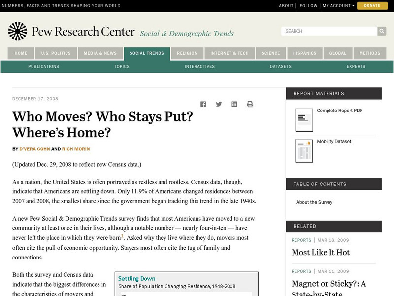
Pew Research Center
Pew Social and Demographic Trends: Migration Flows in the United States
The Pew Hispanic Research Center details the migration flows of the United States. Breaks down U.S. migration patterns from the last 20 years. Scroll mouse over map to see the regional migration throughout the years. View a map which...
Alabama Learning Exchange
Alex: Regions of the United States
This lesson provides a variety of activities for the student to become aware of the regions in our country. They will learn the geography and natural resources and how these influence the way of life of the people living in a region.
Annenberg Foundation
Annenberg Learner: United States History Map: 50 States
Read about the regions of the United States, find the states in those regions on maps, and play a game to locate the states. A great interactive review.
PurposeGames
Purpose Games: 50 Most Populous Cities in the Us
Interactive tests players knowledge of the location of the 49 more populous cities in the United States.
Curated OER
Etc: Maps Etc: Forest Planting Regions in the United States, 1919
A map from 19169 of the United States showing the forest planting regions of the United States. The un-shaded areas are treeless except along the streams (riparian).
ClassFlow
Class Flow: Northeastern Region of the United States
[Free Registration/Login Required] Seven interesting video clips allow the students success in assessing their knowledge of the Northeastern Region of the United States. Students interact with matching capitols to their respective states...
ArtsNow
Arts Now Learning: Dance Across the United States of America [Pdf]
These activities will allow students to become explorers and travel across the United States to encounter a variety of land forms. Students will create a story about their trek and then create choreography to match the sequence generated...
A&E Television
History.com: The States
Learn unique facts about each American state. You can also read a more in-depth history of each state, watch videos and play a game about all the states.
Other
Usaca: The United States of America Cricket Association
Learn about cricket in the United States. This website provides information on upcoming matches, player profiles, regional clubs, rules and player eligibility, and more.
PBS
Pbs: Face Off: United States Foreign Policy With n.korea
A lesson plan that shows the relationship between the United States and North Korea. It has the learners answer questions about what they believe the US and North Korea should do to ease tensions between the two countries. The lesson...
Other
Office of the United States Trade Representative
Explore this site and learn about the inner workings of the Office of the United States Trade Representatives. Use this site to view the hot topics in Trade negotiations around the world.
Library of Congress
Loc: Maps of Cities and Towns
Looking for old maps of somewhere in the United States? Check out this huge collection of maps! Search by the name of a city or town, another keyword, subject, title, or geographic location.
Smithsonian Institution
Smithsonian Education: United States Mexico Borderlands
This is a great site that talks about changes in the U.S.-Mexico border. It also discusses the meaning of the border, the people that live there, and border regions. Click "next" at the bottom of the page for more information on the...
Curated OER
Etc: Maps Etc: Forest Regions of the United States, 1904
A map from 1904 of the United States showing the principal forest regions, including the forests of Alaska.
Curated OER
Etc: Maps Etc: Forest Regions of the United States, 1906
A map from 1906 of the United States showing the principal forest regions, including the forests of Alaska.
Curated OER
Etc: Maps Etc: Forest Regions of the United States, 1911
A map from 1911 of the United States (from the U.
Curated OER
Etc: Maps Etc: Coal and Iron Deposits in the United States, 1910
A map from 1910 of the contiguous United States showing the regions of iron coal deposits. The map is keyed to show deposits of iron ore, lignite coal, bituminous coal, and anthracite coal in the region.
Curated OER
Etc: Earthquake Activity in the United States, 1872 1882
A map from 1888 of the United States showing the regions shaken by earthquakes since 1872 and the extent of the area in which the earthquake was felt. The month and year of each earthquake is indicated in its boundary line.
Smithsonian Institution
National Museum of American History: Transportation in America Before 1876
In 1800, the United States was made up of 16 states, all east of the Appalachians, and most people lived within 50 miles of the Atlantic. Oceans and rivers were the nations' highways, providing the only viable way to travel long...
Department of Defense
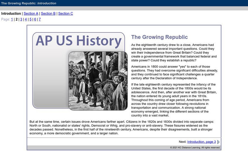
Do Dea: Ap Us History: Unit 3: The Growing Republic
This extensive learning module examines how the United States' efforts to increase foreign trade, add new territory, and isolate itself from Europe affected its foreign policy and other initiatives. It investigates how advances in...
Ducksters
Ducksters: Native American History for Kids: Tribes and Regions
Kids learn about where Native American Indian tribes and regions in the United States on this site.
Central Intelligence Agency
Cia: World Factbook: Regional and World Maps
Maps of major areas of the world can be downloaded here. The maps have excellent detail and are in color.
US Department of Labor
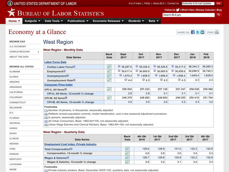
Bureau of Labor Statistics: West Region
The Bureau of Labor Statistics site provides Labor Market data, Consumer Price Index, and Employment Cost Index for the Western Region of the United States.


